Pricing Guides & Dictionary of Makers Marks for Antiques & Collectibles

Appraise and find values for
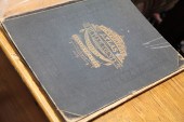
(ATLAS) BUTLER SAMUEL An Atlas of...
From
marks4antiques.com
- The most updated price guide and makers' marks research online
As a member, you have access to a team of experts
and assistance is always available to you for free
An example from the millions of items in our Price Guide:
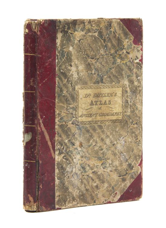
(ATLAS) BUTLER SAMUEL An Atlas of Antient Geography. Philadelphia: Carey Lea & Blanchard 1834. 8vo 3/4 leatherette over marbled boards printed pastedown...
This is an example from our
values4antiques price guide
We do not buy or sell any items
See more price guides
Check our other research services:
IDENTIFY WORLDWIDE MAKERS' MARKS & HALLMARKS
marks4ceramics:
Porcelain, Pottery, Chinaware, Figurines, Dolls, Vases...
marks4silver
:
Silver, Jewelry, Pewter, Silverplate, Copper & Bronze...
Explore other items from our
Antiques & Collectibles Price Guide
-
 Samuel Lawrence Early New York Represent
[more like this]
-
 ROBERT BUTLER O/C PAINTING, FLORIDA EVER
[more like this]
-
 5 KENTUCKY AND TENNESSEE MAPS1st item: "
[more like this]
-
 Atlas and Cyclopedia of Butler County Oh
[more like this]
-
 6PC ASSORTED ANTIQUE 1870'S ATLASES Unit
[more like this]
-
 A Large Archive of Confederate Martyr Wi
[more like this]
-
 John Butler Yeats (Irish 1871-1957) Auto
[more like this]
-
![[Civil War - Autographs] Benja](/images/civil-war-autographs-benjamin--15efca-medium.jpg) [Civil War - Autographs] Benjamin Butler
[more like this]
[Civil War - Autographs] Benjamin Butler
[more like this]
-
 CAROUSEL PAINTING BY ROBERT BUTLER & MIK
[more like this]
-
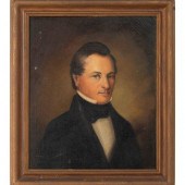 American School, 19th Century
Portrait o
[more like this]
-
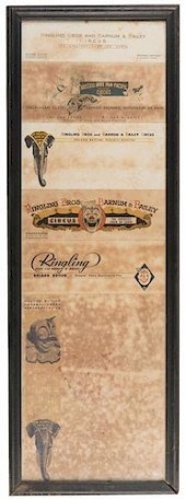 STEAMER TRUNK FOR ROLAND BUTLER, PRESS R
[more like this]
-
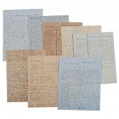 Letters Between the Sturges Brothers Mos
[more like this]
-
 Engraved Powder Horn of Samuel X. Cranst
[more like this]
-
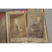 The personal pocket Bible of Samuel Mars
[more like this]
-
 2 SAMUEL BUTLER FIRST EDITION BOOKSSamue
[more like this]
-
 2 SAMUEL BUTLER FIRST EDITION BOOKSSamue
[more like this]
-
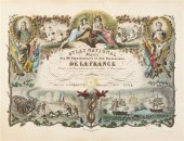 (ATLAS FRONTISPIECES) A group of four ti
[more like this]
-
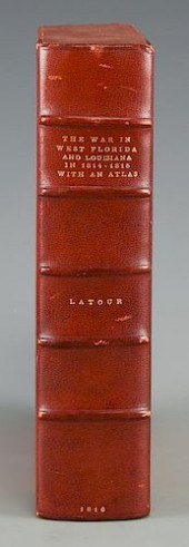 LATOUR WAR IN WEST FLORIDA LA 1814-1815,
[more like this]
-
 SAMUEL BUTLER ATTRIBUTED OIL ON CANVAS S
[more like this]
-
 SAMUEL BUTLER ATTRIBUTED OIL ON CANVAS<b
[more like this]
-
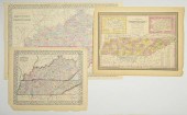 3 MAPS TOTAL , 1 OF TENNESSEE, 2 OF KENT
[more like this]
-
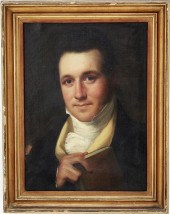 Portrait of Samuel Gourdin of Charleston
[more like this]
-
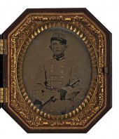 Confederate Lieutenant Samuel Rice 27th
[more like this]
-
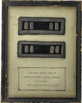 Civil War Captain Shoulder Straps ID'd t
[more like this]
-
 Samuel Best Silver Teaspoon American (Ci
[more like this]
-
 FOUR LOOSE ETCHINGS BY SAMUEL CAHAN, J.
[more like this]
-
 SAMUEL CHAMBERLAIN (AMERICAN, 1895-1975)
[more like this]
-
 Theodore Earl Butler (American/Ohio, 186
[more like this]
-
 Benjamin Butler Signed Envelope Benjamin
[more like this]
-
 RARE 1854 POLITICAL SATIRE "MONEY" PRESI
[more like this]
-
 MARY CABLE BUTLER (AMERICAN, 1865-1946)
[more like this]
-
 TWO CHINESE EXPORT ARMORIAL PORCELAIN OB
[more like this]
-
 AN EXCLUSIVE TOUR OF THE BUTLER MUSEUM A
[more like this]
-
 HOWARD RUSSELL BUTLER (1856-1934)Three W
[more like this]
-
 Harriet Manigault archive, miniatures: (
[more like this]
-
 BUTLER COUNTY ATLAS. Philadelphia 1875
[more like this]
This list is limited to only a few results.
Many more items are available to our members in our
Price Guide!


