Pricing Guides & Dictionary of Makers Marks for Antiques & Collectibles

Appraise and find values for
"VIRGINIA CARTOGRAPHERS AND THEIR...
From
marks4antiques.com
- The most updated price guide and makers' marks research online
As a member, you have access to a team of experts
and assistance is always available to you for free
An example from the millions of items in our Price Guide:
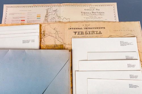
"VIRGINIA CARTOGRAPHERS AND THEIR MAPS" FOLIO"A Description of the Country, Virginia's Cartographers and Their Maps 1607-1881" by E.M. Sanchez-Saavedra;...
This is an example from our
values4antiques price guide
We do not buy or sell any items
See more price guides
Check our other research services:
IDENTIFY WORLDWIDE MAKERS' MARKS & HALLMARKS
marks4ceramics:
Porcelain, Pottery, Chinaware, Figurines, Dolls, Vases...
marks4silver
:
Silver, Jewelry, Pewter, Silverplate, Copper & Bronze...
Explore other items from our
Antiques & Collectibles Price Guide
-
 Joseph Hubert Diss Debar Sketchbook Jose
[more like this]
-
 Confederate Order Book 1st Virginia Regi
[more like this]
-
 "VIRGINIA CARTOGRAPHERS AND THEIR MAPS"
[more like this]
-
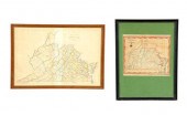 TWO MAPS OF VIRGINIA INCLUDING WEST VIR
[more like this]
-
 A LIFETIME COLLECTION OF TEN VIRGINIA TO
[more like this]
-
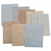 Letters Between the Sturges Brothers Mos
[more like this]
-
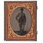 Sgt. George F. Masson 5th Virginia Caval
[more like this]
-
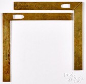 TWO FRENCH CARTOGRAPHERS SQUARES, 18TH C
[more like this]
-
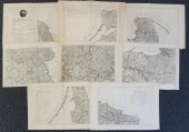 LUDWIG A. G. MULLIN/CARL JACK, CARTOGRAP
[more like this]
-
 Five Richard Kidder Meade, Jr. Confedera
[more like this]
-
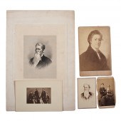 Breckinridge Family Archive Approx. 165
[more like this]
-
 Eight 19th century Henkel imprints: An A
[more like this]
-
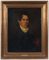 IMPORTANT VIRGINIA PORTRAIT(American Sch
[more like this]
-
 WYTHE COUNTY, VA PAINT DECORATED BLANKET
[more like this]
-
 RARE VIRGINIA SHAVER FAMILY ATTRIBUTED P
[more like this]
-
 DON BALKE (B. 1933) "RIVER OTTER"Don Bal
[more like this]
-
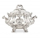 A VICTORIAN SOUP TUREEN, LINER AND COVER
[more like this]
-
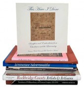 TEN SOUTHERN FURNITURE AND ANTIQUES BOOK
[more like this]
-
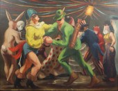 MARGARET MAY DASHIELL, VIRGINIA, LOUISIA
[more like this]
-
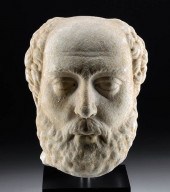 LIFESIZE ROMAN MARBLE HEAD BALDING MAN W
[more like this]
-
 J. VANCE MILLER, 2 O/B SOUTHERN LANDSCAP
[more like this]
-
 FINE CALEB DAVIS VIRGINIA FEDERAL INLAID
[more like this]
-
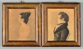 PAIR VA CHARCOAL PROFILE PORTRAITS, ATTR
[more like this]
-
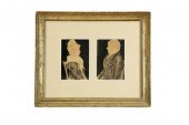 PAIR OF FRONTIER PORTRAITS ((WEST) VIRGI
[more like this]
-
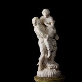 PROFESSOR GIUSEPPE LAZZERINI (ITALIAN 18
[more like this]
-
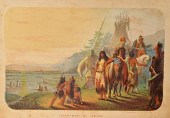 CONFEDERATE AUTOGRAPH ALBUM PLUS ROSENTH
[more like this]
-
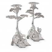 A MATCHED PAIR OF MODERN FIGURAL CANDLES
[more like this]
-
 THOMAS JEFFERSON AUTOGRAPH LETTER SIGNED
[more like this]
-
 19TH C. YORUBA TEXTILE & COWRIE "SHRINE
[more like this]
-
 WALKER SISTERS POEM DRAWING PLUS GREAT S
[more like this]
-
 TWO FINE REGENCY GLOBES ON MAHOGANY STAN
[more like this]
-
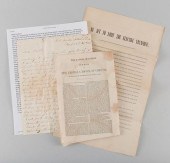 TN CIVIL WAR BROADSIDE, PAMPHLET, LETTER
[more like this]
-
 Eight Henkel imprints, special conferenc
[more like this]
-
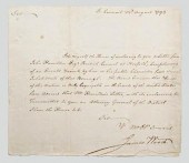 Virginia documents, Wood and Randolph, t
[more like this]
-
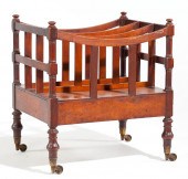 att. Virginia Canterburysecond quarter 1
[more like this]
-
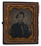 Confederate John J. Burroughs 6th Virgin
[more like this]
This list is limited to only a few results.
Many more items are available to our members in our
Price Guide!


