Pricing Guides & Dictionary of Makers Marks for Antiques & Collectibles
Appraise and find values for
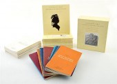
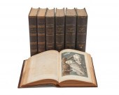
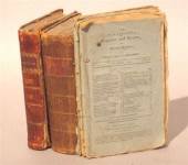
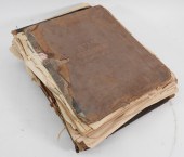
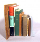
1 vol. (Philadelphia Atlas.)...
From
marks4antiques.com
- The most updated price guide and makers' marks research online
As a member, you have access to a team of experts
and assistance is always available to you for free
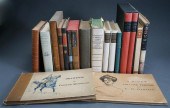
An example from the millions of items in our Price Guide:
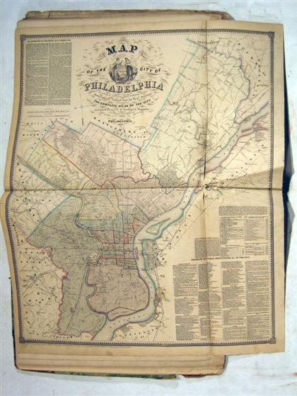
1 vol. (Philadelphia Atlas.) Smedley, Samuel L. Smedley's Atlas of The City of Philadelphia. Philadelphia: Lippincott, 1862. Folio, orig. morocco &...
This is an example from our
values4antiques price guide
We do not buy or sell any items
See more price guides
Check our other research services:
IDENTIFY WORLDWIDE MAKERS' MARKS & HALLMARKS
marks4ceramics:
Porcelain, Pottery, Chinaware, Figurines, Dolls, Vases...
marks4silver
:
Silver, Jewelry, Pewter, Silverplate, Copper & Bronze...
Explore other items from our
Antiques & Collectibles Price Guide
-
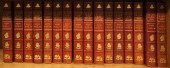
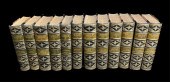
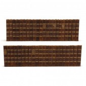
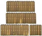 HARVARD CLASSICS ALUMNI EDITIONSet of Ha
[more like this]
HARVARD CLASSICS ALUMNI EDITIONSet of Ha
[more like this]
-
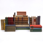
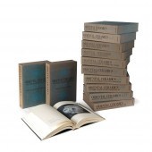
 25 HARD BOUND BOOKS BY HERMAN MELVILLE O
[more like this]
25 HARD BOUND BOOKS BY HERMAN MELVILLE O
[more like this]
-
 GROUP OF PERIODICALS FROM CURTIS'S BOTAN
[more like this]
GROUP OF PERIODICALS FROM CURTIS'S BOTAN
[more like this]
-
 Books: Journal of Early Southern Decorat
[more like this]
Books: Journal of Early Southern Decorat
[more like this]
-
 RICHARD F. BURTON, BOOK OF THE THOUSAND
[more like this]
RICHARD F. BURTON, BOOK OF THE THOUSAND
[more like this]
-
 LADIES' READING LIBRARY<br>Comprisi
[more like this]
LADIES' READING LIBRARY<br>Comprisi
[more like this]
-
 104 MERCURY AND ROOSEVELT DIMESMercury D
[more like this]
104 MERCURY AND ROOSEVELT DIMESMercury D
[more like this]
-
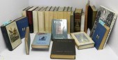
 [ART, DECORATIVE ART AND ILLUSTRATIVE BO
[more like this]
[ART, DECORATIVE ART AND ILLUSTRATIVE BO
[more like this]
-
![[ORIENTAL CERAMIC SOCIETY]
A g](/images/oriental-ceramic-society-a-group--346a83-medium.jpg) [ORIENTAL CERAMIC SOCIETY]
A group of tr
[more like this]
[ORIENTAL CERAMIC SOCIETY]
A group of tr
[more like this]
-
 WAVERLY NOVELS (12 VOLUMES) BY SIR WALTE
[more like this]
WAVERLY NOVELS (12 VOLUMES) BY SIR WALTE
[more like this]
-
 ORIENTAL CERAMICS: THE WORLD'S GREATEST
[more like this]
ORIENTAL CERAMICS: THE WORLD'S GREATEST
[more like this]
-
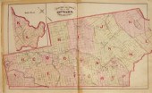
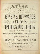 4 vols. Philadelphia Ward Atlases. Elvi
[more like this]
4 vols. Philadelphia Ward Atlases. Elvi
[more like this]
-
 ANTIQUE LEATHERBOUND SET OF (44) GRECO-R
[more like this]
ANTIQUE LEATHERBOUND SET OF (44) GRECO-R
[more like this]
-
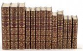 13 CHARLES DICKENS BOOKS, HISTORIES, NOT
[more like this]
13 CHARLES DICKENS BOOKS, HISTORIES, NOT
[more like this]
-
 COMPLETE WORKS OF CHARLES DICKENS, 30 AN
[more like this]
COMPLETE WORKS OF CHARLES DICKENS, 30 AN
[more like this]
-
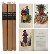 Three volumes, 'History of the Indian Tr
[more like this]
Three volumes, 'History of the Indian Tr
[more like this]
-
 AUDUBON, JOHN JAMES (1785-1851). THE BIR
[more like this]
AUDUBON, JOHN JAMES (1785-1851). THE BIR
[more like this]
-
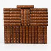
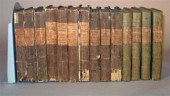
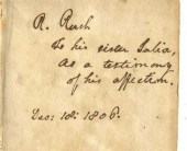 13 vols. Rush, Williams & Biddle Family
[more like this]
13 vols. Rush, Williams & Biddle Family
[more like this]
-
 7 vols. Philadelphia & Pennsylvania - H
[more like this]
7 vols. Philadelphia & Pennsylvania - H
[more like this]
-
 8 vols. Philadelphia & Pennsylvania -
[more like this]
8 vols. Philadelphia & Pennsylvania -
[more like this]
-
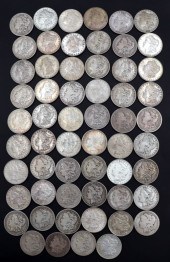
 111 WALKING LIBERTY HALF 1/2 DOLLARS111
[more like this]
111 WALKING LIBERTY HALF 1/2 DOLLARS111
[more like this]
-
 3 vols. Philadelphia Atlases. Germanto
[more like this]
3 vols. Philadelphia Atlases. Germanto
[more like this]
-
 5 vols. (3 wrappers) Philadelphia 18th
[more like this]
5 vols. (3 wrappers) Philadelphia 18th
[more like this]
-
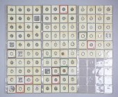
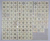
 NUMISMATICS. (58) ASSORTED MORGAN SILVER
[more like this]
NUMISMATICS. (58) ASSORTED MORGAN SILVER
[more like this]
-
 5 KENTUCKY AND TENNESSEE MAPS1st item: "
[more like this]
5 KENTUCKY AND TENNESSEE MAPS1st item: "
[more like this]
-
 6PC ASSORTED ANTIQUE 1870'S ATLASES Unit
[more like this]
6PC ASSORTED ANTIQUE 1870'S ATLASES Unit
[more like this]
-
 14 vols. (Scott, Sir Walter): The Fortu
[more like this]
14 vols. (Scott, Sir Walter): The Fortu
[more like this]
-
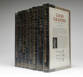 Dr. Charles C. Di Peso et al ''Casas Gra
[more like this]
Dr. Charles C. Di Peso et al ''Casas Gra
[more like this]
-
![[HISTORY] Lives of the Queens](/images/history-lives-of-the-queens--161314-medium.jpg) [HISTORY] Lives of the Queens of England
[more like this]
[HISTORY] Lives of the Queens of England
[more like this]
-
![[HISTORY] History of the Decli](/images/history-history-of-the-decline--161315-medium.jpg) [HISTORY] History of the Decline and Fal
[more like this]
[HISTORY] History of the Decline and Fal
[more like this]
-
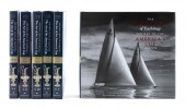 SIX VOLUMES FROM "THE HOLY GRAIL OF YACH
[more like this]
SIX VOLUMES FROM "THE HOLY GRAIL OF YACH
[more like this]
-
![[Exploration and Travel] A Cur](/images/exploration-and-travel-a-curious--15f08a-medium.jpg) [Exploration and Travel] A Curious Colle
[more like this]
[Exploration and Travel] A Curious Colle
[more like this]
-
 9 vols. (2 wrappers) Philadelphia & En
[more like this]
9 vols. (2 wrappers) Philadelphia & En
[more like this]
-
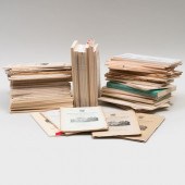
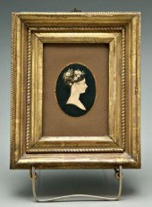 Harriet Manigault archive, miniatures: (
[more like this]
Harriet Manigault archive, miniatures: (
[more like this]
-
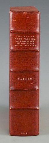 LATOUR WAR IN WEST FLORIDA LA 1814-1815,
[more like this]
LATOUR WAR IN WEST FLORIDA LA 1814-1815,
[more like this]
-
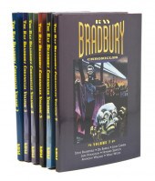 *BRADBURY RAY Chronicles. New York: Nant
[more like this]
*BRADBURY RAY Chronicles. New York: Nant
[more like this]
This list is limited to only a few results.
Many more items are available to our members in our
Price Guide!
Ideal research tools for Collectors, Personal Property Appraisers, Antiques & Collectibles
Dealers, Auction Houses, Museums, eBayers or
other online
sellers (Rubylane, Etsy etc) and curious minds interested in appraising & identifying collectibles

EASY. FAST. ACCURATE.
Research at its best

Our research tools include:


