Pricing Guides & Dictionary of Makers Marks for Antiques & Collectibles

Appraise and find values for
17TH C. FRENCH ENGRAVING - FORTRESS...
From
marks4antiques.com
- The most updated price guide and makers' marks research online
As a member, you have access to a team of experts
and assistance is always available to you for free
An example from the millions of items in our Price Guide:
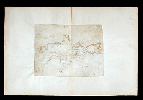
17TH C. FRENCH ENGRAVING - FORTRESS DIAGRAMAttributed to Vauban (French, 1633-1707). A 17th century French plan of Charleville, most likely by Vauban given...
This is an example from our
values4antiques price guide
We do not buy or sell any items
See more price guides
Check our other research services:
IDENTIFY WORLDWIDE MAKERS' MARKS & HALLMARKS
marks4ceramics:
Porcelain, Pottery, Chinaware, Figurines, Dolls, Vases...
marks4silver
:
Silver, Jewelry, Pewter, Silverplate, Copper & Bronze...
Explore other items from our
Antiques & Collectibles Price Guide
-
 LOT OF 20 EUROPEAN PRINTS AND ETCHINGS S
[more like this]
-
 OLD CITY FORTRESS, POSSIBLY DURER<br>Pro
[more like this]
-
 RUDYARD KIPLING. FROM SEA TO SEA. 1922.
[more like this]
-
 JOHN FOLLIS (1913-1995), THE "SOLO" LOUN
[more like this]
-
 1861 PRINT: FORTRESS MONROE, OLD POINT C
[more like this]
-
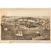 1861 PRINT: FORTRESS MONROE, OLD POINT C
[more like this]
-
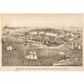 1861 PRINT: FORTRESS MONROE, OLD POINT C
[more like this]
-
 8 PC EARLY ENGRAVING LOT TO INCLUDE: 1)
[more like this]
-
 LADIES' ART REFERENCE LIBRARY<br>Co
[more like this]
-
 FIVE PIECE 19TH CENTURY AQUATIC ANIMAL A
[more like this]
-
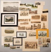 TN EPHEMERA AND PRINTS, 30 PCSAssorted T
[more like this]
-
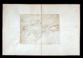 17TH C. FRENCH ENGRAVING - FORTRESS DIAG
[more like this]
-
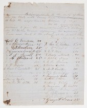 Civil War Archive of Letters & Documents
[more like this]
-
![AN ITALIAN [GUBBIO] ISTORIATO](/images/an-italian-gubbio-istoriato-maiolica--2cd13c-medium.jpg) AN ITALIAN [GUBBIO] ISTORIATO MAIOLICA L
[more like this]
AN ITALIAN [GUBBIO] ISTORIATO MAIOLICA L
[more like this]
-
 AN ASSEMBLED SET OF KING'S AND QUEEN'S P
[more like this]
-
 THREE 18TH C. FRENCH ETCHINGS AFTER CHAR
[more like this]
-
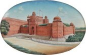 A Miniature Indian Painting of the Red F
[more like this]
-
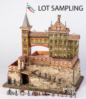 GOTTSCHALK CASTLE FORTRESSGottschalk cas
[more like this]
-
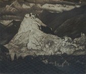 SYDNEY LEE, RA (BRITISH 1866-1949), A MO
[more like this]
-
 POSSIBLY FRANCISCO CASTILLO (20TH CENTUR
[more like this]
-
 STORMING A SNOW FORTRESS AND COSSACKS WR
[more like this]
-
 STORMING A SNOW FORTRESS AND COSSACKS WR
[more like this]
-
 10 PIECE AMBER & RUBY BOHEMIAN GLASS LOT
[more like this]
-
 HEZEKIAH ANTHONY DYER (RHODE ISLAND/EURO
[more like this]
-
 JASON B. FISHBEIN (B.1937) FORTRESS OIL
[more like this]
-
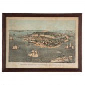 EDWARD SACHSE. "FORTRESS MONROE, OLD POI
[more like this]
-
 KARL E. FORTRESS (BELGIAN/AMERICAN 1907
[more like this]
-
 E. COBOS "ALCáZAR DE SEGOVIA" OIL ON CAN
[more like this]
-
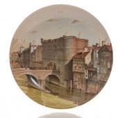 PORCELAINE DE PARIS PLATE, LE PETIT-CHAT
[more like this]
-
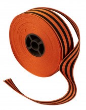 RUSSIA, EMPIRE. RIBBON FOR THE CROSS AND
[more like this]
-
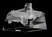 A STEUBEN MODEL OF A FORTRESS: CASTLE OF
[more like this]
-
 FRENCH GOTHIC REVIVAL CARVED OAK 'F
[more like this]
-
 CORGI LIMITED EDITION BOEING B-17F FLYIN
[more like this]
-
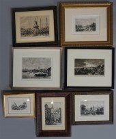 MAXIME LALANNE (FRENCH, 1827-1886) A HAA
[more like this]
-
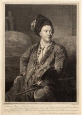 Pierre Drevet (French 1663-1738) after L
[more like this]
-
 17TH C. SILVER CUP, ANOINTING SPOONTwo p
[more like this]
This list is limited to only a few results.
Many more items are available to our members in our
Price Guide!


