Pricing Guides & Dictionary of Makers Marks for Antiques & Collectibles
Appraise and find values for
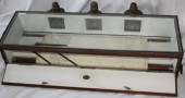
(4) URBAN ARCHAEOLOGY "CHART LIGHT"...
From
marks4antiques.com
- The most updated price guide and makers' marks research online
As a member, you have access to a team of experts
and assistance is always available to you for free
An example from the millions of items in our Price Guide:
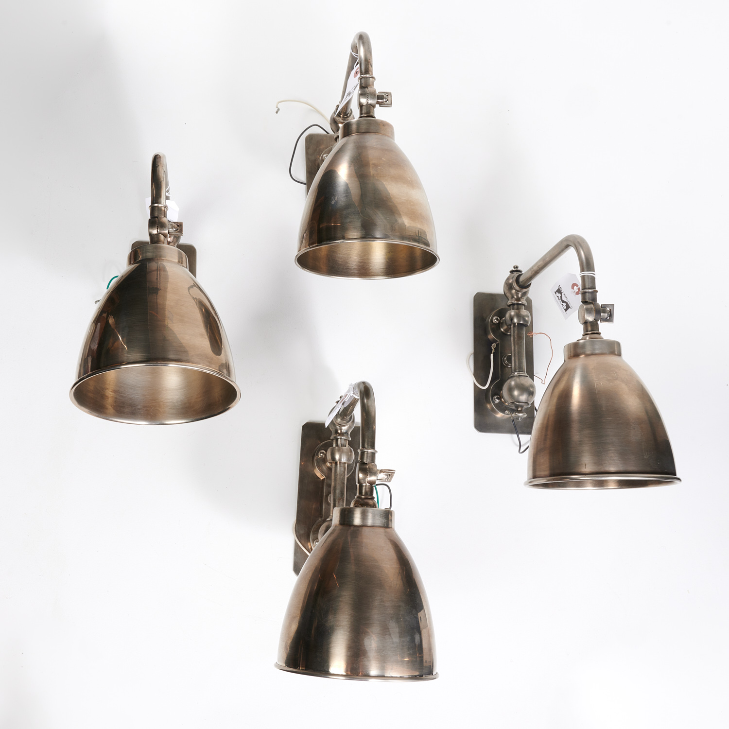
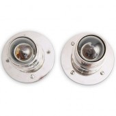
(4) URBAN ARCHAEOLOGY "CHART LIGHT" SCONCES 21st c., nickel finish, short arm swivel sconce, sticker label verso, 14"h x 6"w x 14.25"d...
This is an example from our
values4antiques price guide
We do not buy or sell any items
See more price guides
Check our other research services:
IDENTIFY WORLDWIDE MAKERS' MARKS & HALLMARKS
marks4ceramics:
Porcelain, Pottery, Chinaware, Figurines, Dolls, Vases...
marks4silver
:
Silver, Jewelry, Pewter, Silverplate, Copper & Bronze...
Explore other items from our
Antiques & Collectibles Price Guide
-
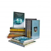
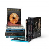 COLLECTION OF ART REFERENCE BOOKS
ON ASI
[more like this]
COLLECTION OF ART REFERENCE BOOKS
ON ASI
[more like this]
-
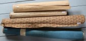
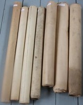 LOT OF SEVEN ROLL UP CHARTS, TO INCLUDE:
[more like this]
LOT OF SEVEN ROLL UP CHARTS, TO INCLUDE:
[more like this]
-
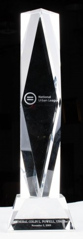 GLASS NATIONAL URBAN LEAGUE HUMANITARIAN
[more like this]
GLASS NATIONAL URBAN LEAGUE HUMANITARIAN
[more like this]
-
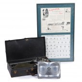
 LIGHTED NAUTICAL CHART HOLDER & COURSE I
[more like this]
LIGHTED NAUTICAL CHART HOLDER & COURSE I
[more like this]
-
 LOT OF FOUR 19TH CENTURY NAUTICAL ROLL U
[more like this]
LOT OF FOUR 19TH CENTURY NAUTICAL ROLL U
[more like this]
-
 LOT OF FOUR ROLL UP CHARTS TO INCLUDE: 1
[more like this]
LOT OF FOUR ROLL UP CHARTS TO INCLUDE: 1
[more like this]
-
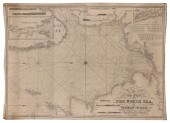 BLUEBACK CHART "A NEW CHART OF THE NORTH
[more like this]
BLUEBACK CHART "A NEW CHART OF THE NORTH
[more like this]
-
 HAND DRAWN SHIP'S CHART OF A WHALING VOY
[more like this]
HAND DRAWN SHIP'S CHART OF A WHALING VOY
[more like this]
-
 ANCIENT CIVILIZATIONS AND ARCHAEOLOGY BO
[more like this]
ANCIENT CIVILIZATIONS AND ARCHAEOLOGY BO
[more like this]
-
![[American Indian - Southwest]](/images/american-indian-southwest-books--15dd9a-medium.jpg) [American Indian - Southwest] Books on S
[more like this]
[American Indian - Southwest] Books on S
[more like this]
-
 CERAMIC REFERENCE BOOK COLLECTION ??????
[more like this]
CERAMIC REFERENCE BOOK COLLECTION ??????
[more like this]
-
 COLLECTION OF ART REFERENCE BOOKS
ON ASI
[more like this]
COLLECTION OF ART REFERENCE BOOKS
ON ASI
[more like this]
-
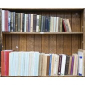 Books. Two shelves of general stock, ear
[more like this]
Books. Two shelves of general stock, ear
[more like this]
-
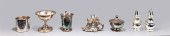 Group of twenty silver plate collection;
[more like this]
Group of twenty silver plate collection;
[more like this]
-
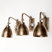 SET (3) URBAN ARCHAEOLOGY "CHART LIGHT"
[more like this]
SET (3) URBAN ARCHAEOLOGY "CHART LIGHT"
[more like this]
-
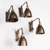 SET (4) URBAN ARCHAEOLOGY "CHART LIGHT"
[more like this]
SET (4) URBAN ARCHAEOLOGY "CHART LIGHT"
[more like this]
-
 (4) URBAN ARCHAEOLOGY "CHART LIGHT" SCON
[more like this]
(4) URBAN ARCHAEOLOGY "CHART LIGHT" SCON
[more like this]
-
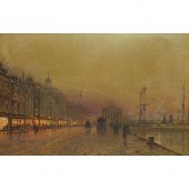 ? JOHN ATKINSON GRIMSHAW (BRITISH 1836-1
[more like this]
? JOHN ATKINSON GRIMSHAW (BRITISH 1836-1
[more like this]
-
 EARLY 1930S "THE SEAT OF HEALTH" PORTABL
[more like this]
EARLY 1930S "THE SEAT OF HEALTH" PORTABL
[more like this]
-
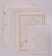 6pc John Barrow China Maps. All maps pub
[more like this]
6pc John Barrow China Maps. All maps pub
[more like this]
-
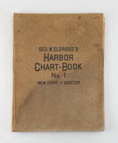 "GEO. W. ELDRIDGE'S HARBOR CHART-BOOK NO
[more like this]
"GEO. W. ELDRIDGE'S HARBOR CHART-BOOK NO
[more like this]
-
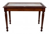 CHART TABLE 19TH CENTURY HEIGHT 33”. WID
[more like this]
CHART TABLE 19TH CENTURY HEIGHT 33”. WID
[more like this]
-
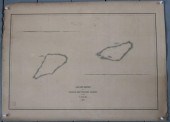
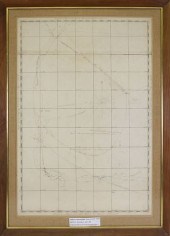
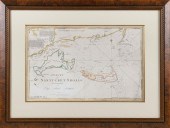 CHART OF NANTUCKET SHOALS SURVEYED BY CA
[more like this]
CHART OF NANTUCKET SHOALS SURVEYED BY CA
[more like this]
-
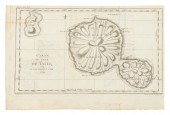 CHART "CARTE DE L'ISLE DE TAITI, PAR LE
[more like this]
CHART "CARTE DE L'ISLE DE TAITI, PAR LE
[more like this]
-
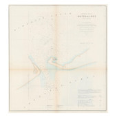
 PRELIMINARY CHART OF NANTUCKET SHOALS TO
[more like this]
PRELIMINARY CHART OF NANTUCKET SHOALS TO
[more like this]
-
 TWO ANTIQUE ANTEBELLUM MAPS, "MAP OF TEX
[more like this]
TWO ANTIQUE ANTEBELLUM MAPS, "MAP OF TEX
[more like this]
-
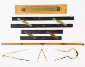 ANTIQUE & VINTAGE MARINE MAP CHART ACCES
[more like this]
ANTIQUE & VINTAGE MARINE MAP CHART ACCES
[more like this]
-
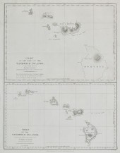 A CHART OF THE SANDWICH ISLANDSA chart o
[more like this]
A CHART OF THE SANDWICH ISLANDSA chart o
[more like this]
-
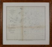
 CIVIL WAR ERA U.S. COAST SURVEY CHART OF
[more like this]
CIVIL WAR ERA U.S. COAST SURVEY CHART OF
[more like this]
-
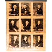 C 1842 FIRST NINE U.S. PRESIDENTS CURRIE
[more like this]
C 1842 FIRST NINE U.S. PRESIDENTS CURRIE
[more like this]
-
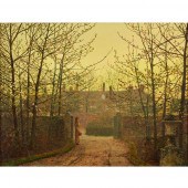 ? JOHN ATKINSON GRIMSHAW (BRITISH 1836-1
[more like this]
? JOHN ATKINSON GRIMSHAW (BRITISH 1836-1
[more like this]
-
 REY URBAN FOR A. FAUSING DANISH STERLING
[more like this]
REY URBAN FOR A. FAUSING DANISH STERLING
[more like this]
-
 "URBAN ARCHEOLOGY" MODERNIST WALL SCONCE
[more like this]
"URBAN ARCHEOLOGY" MODERNIST WALL SCONCE
[more like this]
-
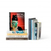
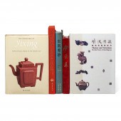 A GROUP OF 21 REFERENCE BOOKS ON YIXING
[more like this]
A GROUP OF 21 REFERENCE BOOKS ON YIXING
[more like this]
-
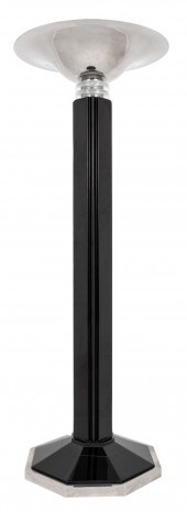 JOSEPH URBAN ART DECO STYLE FLOOR LAMP J
[more like this]
JOSEPH URBAN ART DECO STYLE FLOOR LAMP J
[more like this]
-
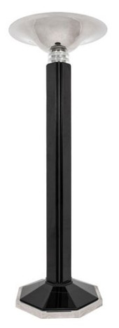 JOSEPH URBAN ART DECO STYLE FLOOR LAMP<b
[more like this]
JOSEPH URBAN ART DECO STYLE FLOOR LAMP<b
[more like this]
This list is limited to only a few results.
Many more items are available to our members in our
Price Guide!
Ideal research tools for Collectors, Personal Property Appraisers, Antiques & Collectibles
Dealers, Auction Houses, Museums, eBayers or
other online
sellers (Rubylane, Etsy etc) and curious minds interested in appraising & identifying collectibles

EASY. FAST. ACCURATE.
Research at its best

Our research tools include:


