Pricing Guides & Dictionary of Makers Marks for Antiques & Collectibles

Appraise and find values for
A GROUPING OF NORTH AND SOUTH...
From
marks4antiques.com
- The most updated price guide and makers' marks research online
As a member, you have access to a team of experts
and assistance is always available to you for free
An example from the millions of items in our Price Guide:
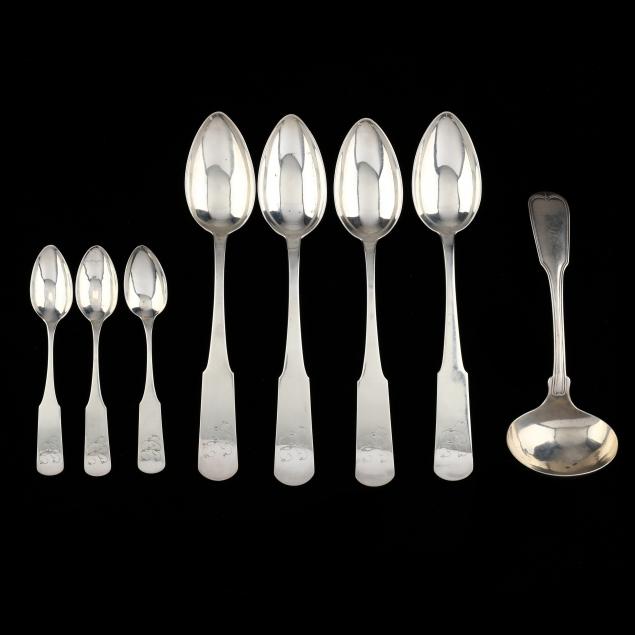
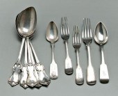
A GROUPING OF NORTH AND SOUTH CAROLINA COIN SILVER FLATWARE, INCLUDING STEPHENS BAKER (8) total pieces, North Carolina pieces include: (3) teaspoons and...
This is an example from our
values4antiques price guide
We do not buy or sell any items
See more price guides
Check our other research services:
IDENTIFY WORLDWIDE MAKERS' MARKS & HALLMARKS
marks4ceramics:
Porcelain, Pottery, Chinaware, Figurines, Dolls, Vases...
marks4silver
:
Silver, Jewelry, Pewter, Silverplate, Copper & Bronze...
Explore other items from our
Antiques & Collectibles Price Guide
-
 A Rare North or South Carolina “Colored
[more like this]
-
 GOLD. GROUPING OF FRAMED 14KT GOLD AND S
[more like this]
-
 COLLECTION DIE-CAST TOYS INC. DINKY, COR
[more like this]
-
 A LATE MEXICAN-AMERICAN WAR ERA MAP, "MA
[more like this]
-
 Thirty-Two Books and Exhibition Catalogs
[more like this]
-
 CIVIL AND SPANISH AMERICAN WAR RELATED A
[more like this]
-
 Collection of South Carolina and North C
[more like this]
-
 GREENE CO. TN CIVIL WAR DOCUMENTS INCL.
[more like this]
-
 EAST TN CIVIL WAR ARCHIVE, SAWYERS FAMIL
[more like this]
-
 COL. HARDY MURFREE SIGNED LAND SALE TO J
[more like this]
-
 2 SLAVE DOCUMENTS, NASHVILLE TN & NORTH
[more like this]
-
 Letters Between the Sturges Brothers Mos
[more like this]
-
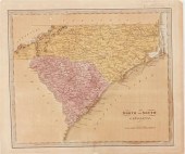 Nineteenth century maps of North and Sou
[more like this]
-
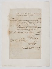 Colonial Documents British Account First
[more like this]
-
 AFTER BERNARDO STROZZI(Italian, 1581?164
[more like this]
-
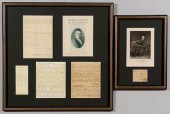 FRAMED LETTER COL. JOHN CROWELL & GIRARD
[more like this]
-
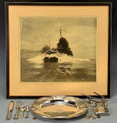 LARGE USS CONNECTICUT ARCHIVE, GREAT WHI
[more like this]
-
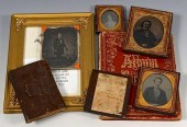 J J SLADE COLUMBUS GA ARCHIVE AND CIVIL
[more like this]
-
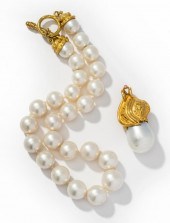 NERSO 18 KARAT YELLOW GOLD SOUTH SEAS CU
[more like this]
-
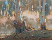 SYDNEY CARTER, UNITED KINGDOM, SOUTH AFR
[more like this]
-
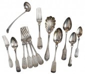 THIRTEEN PIECES SOUTH CAROLINA COIN SILV
[more like this]
-
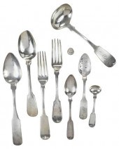 NINE PIECES SOUTH CAROLINA SILVER FLATWA
[more like this]
-
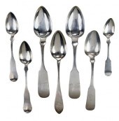 SEVEN NORTH CAROLINA COIN SILVER SPOONSi
[more like this]
-
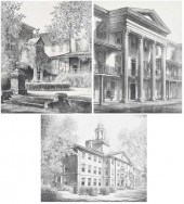 LOUIS ORR(American/North Carolina 1876-1
[more like this]
-
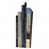 EIGHT BOOKS VARIOUSLY ON NORTH CAROLINA
[more like this]
-
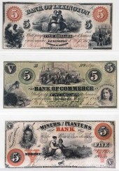 NORTH CAROLINA OBSOLETE BANK NOTES, OTHE
[more like this]
-
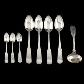 A GROUPING OF NORTH AND SOUTH CAROLINA C
[more like this]
-
 15 DECORATIVE ARTS & SOUTHERN POTTERY RE
[more like this]
-
 4 EARLY AMERICAN MAPS: OVERTON, THIERRY,
[more like this]
-
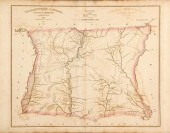 Robert Mills maps from South Carolina At
[more like this]
-
 A COMPLETE SYSTEM OF GEOGRAPHY, VOL. I B
[more like this]
-
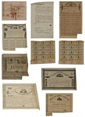 Sixty pieces Confederate fiscal paper: 3
[more like this]
-
 Ten pieces Charleston coin silver: two J
[more like this]
-
 TRIPLE STRAND SOUTH SEA PEARL NECKLACETR
[more like this]
-
 WILLEM ADRIAAN BLOM, BRITISH COLUMBIA /
[more like this]
-
 Bernatzik. South Pacific. CONRU, Kevin.
[more like this]
This list is limited to only a few results.
Many more items are available to our members in our
Price Guide!


