Pricing Guides & Dictionary of Makers Marks for Antiques & Collectibles

Appraise and find values for
A Rare North or South Carolina...
From
marks4antiques.com
- The most updated price guide and makers' marks research online
As a member, you have access to a team of experts
and assistance is always available to you for free
An example from the millions of items in our Price Guide:
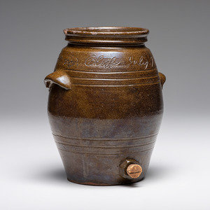
A Rare North or South Carolina “Colored Republicing Club” Stoneware Cooler Dated July 7, 1892 in Southern alkaline glaze, with distinctive doubled...
This is an example from our
values4antiques price guide
We do not buy or sell any items
See more price guides
Check our other research services:
IDENTIFY WORLDWIDE MAKERS' MARKS & HALLMARKS
marks4ceramics:
Porcelain, Pottery, Chinaware, Figurines, Dolls, Vases...
marks4silver
:
Silver, Jewelry, Pewter, Silverplate, Copper & Bronze...
Explore other items from our
Antiques & Collectibles Price Guide
-
 A Rare North or South Carolina “Colored
[more like this]
-
 Thirty-Two Books and Exhibition Catalogs
[more like this]
-
 Collection of South Carolina and North C
[more like this]
-
 COL. HARDY MURFREE SIGNED LAND SALE TO J
[more like this]
-
 2 SLAVE DOCUMENTS, NASHVILLE TN & NORTH
[more like this]
-
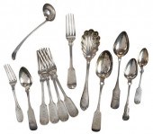 THIRTEEN PIECES SOUTH CAROLINA COIN SILV
[more like this]
-
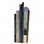 EIGHT BOOKS VARIOUSLY ON NORTH CAROLINA
[more like this]
-
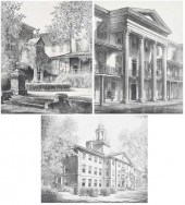 LOUIS ORR(American/North Carolina 1876-1
[more like this]
-
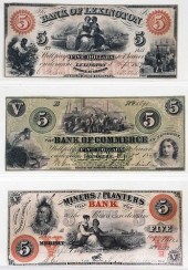 NORTH CAROLINA OBSOLETE BANK NOTES, OTHE
[more like this]
-
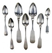 SEVEN NORTH CAROLINA COIN SILVER SPOONSi
[more like this]
-
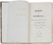 RARE BOUND VOLUME OF JOHN ABBOT WATERCOL
[more like this]
-
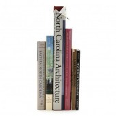 SIX BOOKS ON NORTH CAROLINA ARCHITECTURE
[more like this]
-
 A LATE MEXICAN-AMERICAN WAR ERA MAP, "MA
[more like this]
-
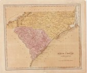 Nineteenth century maps of North and Sou
[more like this]
-
 Rare early maps of Charleston South Caro
[more like this]
-
 Ten pieces Charleston coin silver: two J
[more like this]
-
 IMPORTANT EARLY SOUTH CAROLINA MAP 1696P
[more like this]
-
 (VIEW) NORTH CAROLINA (90) AND SOUTH CAR
[more like this]
-
 Ten slavery related manuscripts: two-pag
[more like this]
-
 Three North Carolina Governors' Document
[more like this]
-
 THREE MARITIME DOCUMENTS ASSOCIATED WITH
[more like this]
-
 LOUIS ORR(American/North Carolina 1876-1
[more like this]
-
 LOUIS ORR(American/North Carolina 1876-1
[more like this]
-
 LOUIS ORR(American, 1879-1961)
North Ca
[more like this]
-
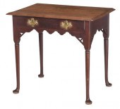 RARE MESDA DOCUMENTED NORTH CAROLINA QUE
[more like this]
-
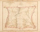 Robert Mills maps from South Carolina At
[more like this]
-
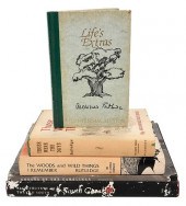 FIVE SOUTH CAROLINA RELATED TITLESfive v
[more like this]
-
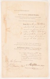 RARE 1807 NC GOV. NATHANIEL ALEXANDER SI
[more like this]
-
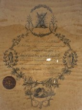 ST. ANDREW'S SOCIETY, CHARLESTON, SOUTH
[more like this]
-
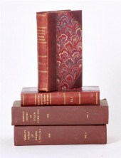 Rare books: South Carolina history by Mo
[more like this]
-
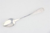 Rare North Carolina coin silver serving
[more like this]
-
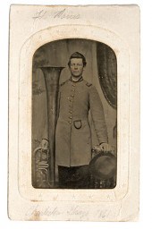 Confederate Bandsman Charleston Grays Pa
[more like this]
-
 Four Confederate Soldier's Letters With
[more like this]
-
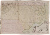 Important 18th Century North Carolina Ma
[more like this]
-
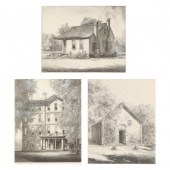 LOUIS ORR (AMERICAN, 1879-1961), ST. AUG
[more like this]
-
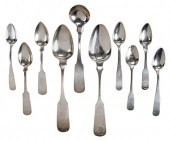 TEN NORTH CAROLINA COIN SILVER SPOONSear
[more like this]
This list is limited to only a few results.
Many more items are available to our members in our
Price Guide!


