Pricing Guides & Dictionary of Makers Marks for Antiques & Collectibles

Appraise and find values for
ABRAHAM BRADLEY JR. MAPAbraham...
From
marks4antiques.com
- The most updated price guide and makers' marks research online
As a member, you have access to a team of experts
and assistance is always available to you for free
An example from the millions of items in our Price Guide:
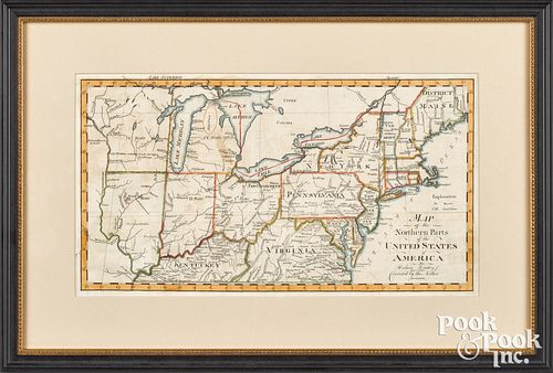
ABRAHAM BRADLEY JR. MAPAbraham Bradley Jr. map of the Northern Parts of the United States of America, ca. 1798 , from Jedidiah Morse's American Gazetteer ,...
This is an example from our
values4antiques price guide
We do not buy or sell any items
See more price guides
Check our other research services:
IDENTIFY WORLDWIDE MAKERS' MARKS & HALLMARKS
marks4ceramics:
Porcelain, Pottery, Chinaware, Figurines, Dolls, Vases...
marks4silver
:
Silver, Jewelry, Pewter, Silverplate, Copper & Bronze...
Explore other items from our
Antiques & Collectibles Price Guide
-
 NINE VERA BRADLEY BAGS Includes a black
[more like this]
-
 Autographs of WWII Generals Four 4-Star
[more like this]
-
 Major Omer W. Clark World War II Archive
[more like this]
-
 DAVID BRADLEY, GROUP OF FOUR LITHOGRAPHS
[more like this]
-
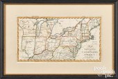 ABRAHAM BRADLEY JR. MAPAbraham Bradley J
[more like this]
-
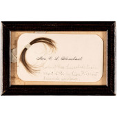 (ABRAHAM LINCOLN) A SUBSTANTIAL LOCK OF
[more like this]
-
 LOT OF 5 RAPIDO TRAIN MODELS<br>Lot of 5
[more like this]
-
 FIFTEEN BOOKS ON ABRAHAM LINCOLNFIFTEEN
[more like this]
-
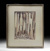 ABRAHAM WALKOWITZ WATERCOLOR - "NEW YORK
[more like this]
-
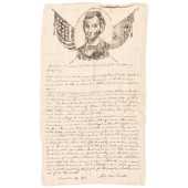 ABRAHAM LINCOLN GETTYSBURG ADDRESS ON MU
[more like this]
-
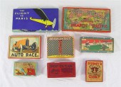 COLLECTION OF 8 VINTAGE BOARD GAMES: To
[more like this]
-
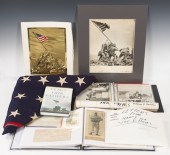 A collection of Raising the Flag on Iwo
[more like this]
-
 GEORGE P. BRADLEY, (1850-1929, CLEVELAND
[more like this]
-
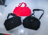 THREE VERA BRADLEY LARGE BAGS Comprising
[more like this]
-
 BRADLEY & HUBBARD AND FOUR OTHER 19TH C.
[more like this]
-
 BRADLEY STEVENS, AMERICAN 1954-, CAROUSE
[more like this]
-
 BRADLEY STEVENS, AMERICAN 1954-, EASTERN
[more like this]
-
 BRADLEY STEVENS, AMERICAN 1954-, WASHING
[more like this]
-
 BRADLEY STEVENS, AMERICAN 1954-, C&O CAN
[more like this]
-
 BRADLEY STEVENS, AMERICAN 1954-, SMITHSO
[more like this]
-
 BRADLEY STEVENS, AMERICAN 1954-, SPRING'
[more like this]
-
 NORMAN BRADLEY, BRITISH 20TH CENTURY, AU
[more like this]
-
 DAVID BRADLEY, THE BERRY PICKER, 1974Dav
[more like this]
-
 JOHN SINGER SARGENT, AMERICAN (1856-1925
[more like this]
-
 AN UNUSUAL BRADLEY & HUBBARD PATINATED M
[more like this]
-
 LOT OF 4 RAPIDO MODEL TRAINS<br>Lot of 4
[more like this]
-
 2 RAPIDO TRAINS PULLMAN BRADLEY #17003/1
[more like this]
-
 LOT OF 3 RAPIDO TRAINS - HO SCALE<br>Lot
[more like this]
-
 FOUR AMERICAN MAPS, LATE 18TH/EARLY 19TH
[more like this]
-
 PAIR OF BRADLEY AND HUBBARD PATINATED IR
[more like this]
-
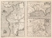 ABRAHAM ORTELIUS, 1598, MAPAbraham Ortel
[more like this]
-
 (LINCOLN ABRAHAM) NICOLAY JOHN G. AND HA
[more like this]
-
 FRAMED & MATTED FRAKTUR BIRTH RECORD FOR
[more like this]
-
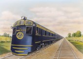 AN ORIGINAL ILLUSTRATION OF ALTON R.R. A
[more like this]
-
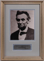 AFTER ALEXANDER GARDNER, SCOTTISH 1821-1
[more like this]
-
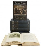 (6) HISTORICAL REFERENCE BOOKS: ABRAHAM
[more like this]
This list is limited to only a few results.
Many more items are available to our members in our
Price Guide!


