Pricing Guides & Dictionary of Makers Marks for Antiques & Collectibles

Appraise and find values for
DRIPPS' POCKET MAP OF NEW YORK...
From
marks4antiques.com
- The most updated price guide and makers' marks research online
As a member, you have access to a team of experts
and assistance is always available to you for free
An example from the millions of items in our Price Guide:
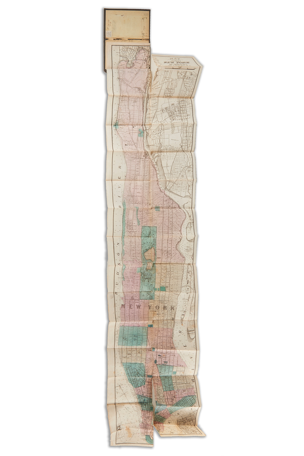
DRIPPS' POCKET MAP OF NEW YORK CITY, 1869 "Map of the City of New York", published by M. Dripps, 103 Fulton Str., N.Y., 1869, enclosed in cloth covered...
This is an example from our
values4antiques price guide
We do not buy or sell any items
See more price guides
Check our other research services:
IDENTIFY WORLDWIDE MAKERS' MARKS & HALLMARKS
marks4ceramics:
Porcelain, Pottery, Chinaware, Figurines, Dolls, Vases...
marks4silver
:
Silver, Jewelry, Pewter, Silverplate, Copper & Bronze...
Explore other items from our
Antiques & Collectibles Price Guide
-
 BRITANNIA, VOL. I & II CAMDEN 1722Camden
[more like this]
-
 A COMPLETE SYSTEM OF GEOGRAPHY, VOL. I B
[more like this]
-
 IMPORTANT ANTIQUE ATLAS DU VOYAGE DE LA
[more like this]
-
 5 KENTUCKY AND TENNESSEE MAPS1st item: "
[more like this]
-
 3 KY & TN MAPS: VANCE, TANNER, JOHNSON1s
[more like this]
-
 LRG GRP: BOOKS ON AFRICA AND AFRICAN ART
[more like this]
-
 RARE LARGE FORMAT MAP OF NEW YORK CITY,
[more like this]
-
 4 TN & KY MAPS, 3 FRAMED1st item: "Tenne
[more like this]
-
 A RARE ANTIQUE CIVIL WAR ERA MAP, "PRESS
[more like this]
-
 A LATE MEXICAN-AMERICAN WAR ERA MAP, "MA
[more like this]
-
 DRIPPS' POCKET MAP OF NEW YORK CITY, 186
[more like this]
-
 8 TENNESSEE MILITARY & SURVEY MAPSAssort
[more like this]
-
 A Very Large Collection of Maps, 19th/e
[more like this]
-
 16TH / 18TH C. EUROPEAN MAPS OF NEW SPAI
[more like this]
-
 AN IMPORTANT REPUBLIC OF TEXAS MAP, "MAP
[more like this]
-
 THOMAS KOETHER (NY, FL B. 1940) "RED PRO
[more like this]
-
 THOMAS KOETHER (NY, FL B. 1940) "CREVICE
[more like this]
-
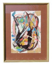 THOMAS KOETHER (NY B 1940) "SOMETHING FE
[more like this]
-
 NATIVE AMERICAN/WESTERN U.S. EXPEDITION
[more like this]
-
 A TOPOGRAPHICAL MAP OF THE ENVIRONS OF L
[more like this]
-
 11 PC. MAP COLLECTION: Comprising; 1- La
[more like this]
-
 3 19TH CENT. AL, KY, & TN MAPS1st item:
[more like this]
-
 AN ANTIQUE RECONSTRUCTION ERA MAP, "KOSS
[more like this]
-
 MAP AND ATLAS LOT, 3 PCS INCL. MELISH DI
[more like this]
-
 5 CIVIL WAR MAPSLot of five Civil War ma
[more like this]
-
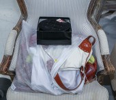 AN ASSORTMENT OF HANDBAGS Includes a bla
[more like this]
-
 4 EARLY AMERICAN MAPS: OVERTON, THIERRY,
[more like this]
-
 AN ANTIQUE RECONSTRUCTION ERA MAP, "TRAV
[more like this]
-
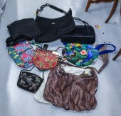 A SELECTION OF EIGHT BAGS Includes a bla
[more like this]
-
 3 DESIGNER PURSES, INCL. BOTTEGA VENETA,
[more like this]
-
 6 SALVATORE FERRAGAMO BAGS, INCL. NWT1st
[more like this]
-
 COLLECTION OF FIFTEEN FIRST OR EARLY EDI
[more like this]
-
 AN ANTIQUE POCKET MAP, "MAP OF MEXICO AN
[more like this]
-
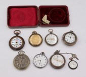 JEWELRY. ANTIQUE POCKET WATCH GROUPING.
[more like this]
-
 4 DESIGNER BAGS, INCL. DOLCE & GABBANA,
[more like this]
-
 GARY KOMARIN, NEW YORK, CONNECTICUT (B.
[more like this]
This list is limited to only a few results.
Many more items are available to our members in our
Price Guide!


