Pricing Guides & Dictionary of Makers Marks for Antiques & Collectibles

Appraise and find values for
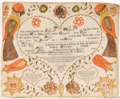
HAND DRAWN ILLUSTRATION & FRAKTUR...
From
marks4antiques.com
- The most updated price guide and makers' marks research online
As a member, you have access to a team of experts
and assistance is always available to you for free
An example from the millions of items in our Price Guide:
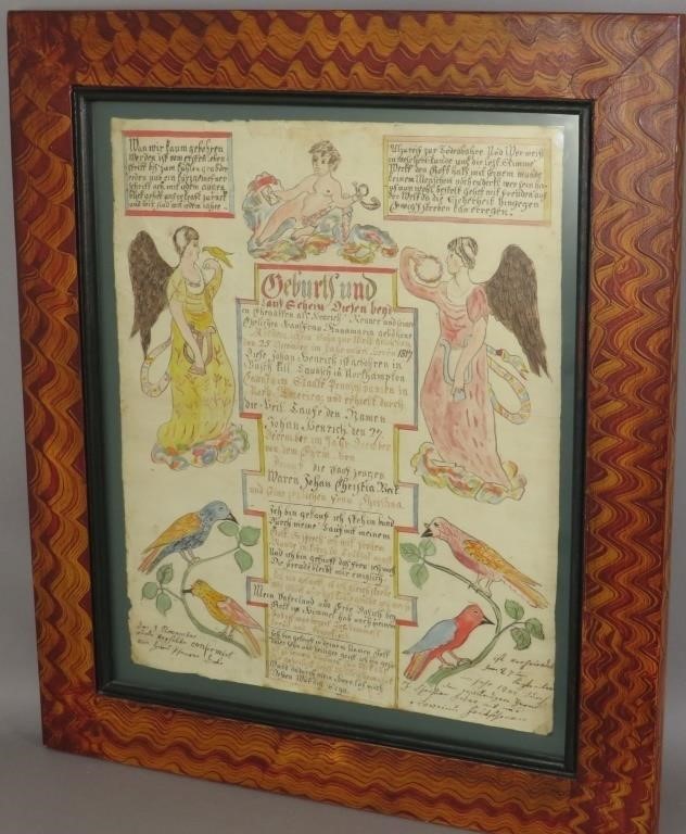
HAND DRAWN ILLUSTRATION & FRAKTUR WRITTEN RECORD Fca. 1817; non-typical form Fraktur following form of printed Frakturs with cherub, angels and birds on...
This is an example from our
values4antiques price guide
We do not buy or sell any items
See more price guides
Check our other research services:
IDENTIFY WORLDWIDE MAKERS' MARKS & HALLMARKS
marks4ceramics:
Porcelain, Pottery, Chinaware, Figurines, Dolls, Vases...
marks4silver
:
Silver, Jewelry, Pewter, Silverplate, Copper & Bronze...
Explore other items from our
Antiques & Collectibles Price Guide
-
 157 works by Arthur Fuller (Arthur Daven
[more like this]
-
 Valentin Tikhonovich (Soviet/Belarusian
[more like this]
-
 Valentin Tikhonovich (Soviet/Belarusian
[more like this]
-
 2011 GMC SIERRAVIN:1GTN1TEA3BZ353238 MOT
[more like this]
-
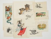 Valentin Tikhonovich (Soviet/Belarusian
[more like this]
-
 Valentin Tikhonovich (Soviet/Belarusian
[more like this]
-
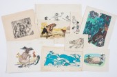 Valentin Tikhonovich (Soviet/Belarusian
[more like this]
-
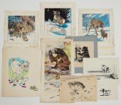 Valentin Tikhonovich (Soviet/Belarusian
[more like this]
-
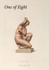 Handsome Collection of Eight Hand-Colore
[more like this]
-
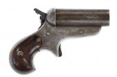 CHIEF SITTING BULL'S C. SHARPS 1859 PEPP
[more like this]
-
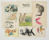 Valentin Tikhonovich (Soviet/Belarusian
[more like this]
-
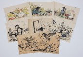 Valentin Tikhonovich (Soviet/Belarusian
[more like this]
-
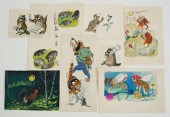 Valentin Tikhonovich (Soviet/Belarusian
[more like this]
-
 2009 BENTLEY AZURE2009 Bentley Azure, V
[more like this]
-
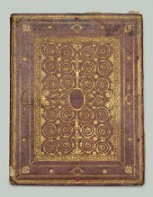 Hand drawn book of castles, 1627: HAND D
[more like this]
-
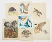 Valentin Tikhonovich (Soviet/Belarusian
[more like this]
-
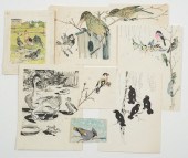 Valentin Tikhonovich (Soviet/Belarusian
[more like this]
-
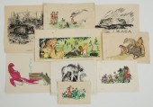 Valentin Tikhonovich (Soviet/Belarusian
[more like this]
-
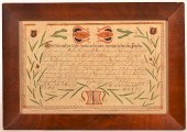 EARLY 19TH C. HAND DRAWN AND COLORED VOR
[more like this]
-
 3 CHARLES HARGENS ILLUSTRATION OILS3 oil
[more like this]
-
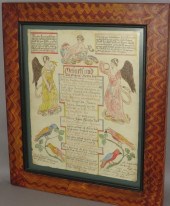 HAND DRAWN ILLUSTRATION & FRAKTUR WRITTE
[more like this]
-
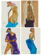 DOREE DUNLAP (1958-2007), FOUR WORKS OF
[more like this]
-
 8 FRAMED VIEWS OF NASHVILLE1st item: "Pr
[more like this]
-
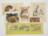 Valentin Tikhonovich (Soviet/Belarusian
[more like this]
-
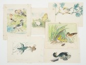 Valentin Tikhonovich (Soviet/Belarusian
[more like this]
-
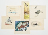 Valentin Tikhonovich (Soviet/Belarusian
[more like this]
-
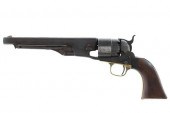 OGLALA SIOUX CRAZY HORSE OWNED COLT 1860
[more like this]
-
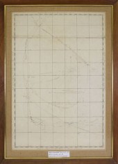 HAND DRAWN SHIP'S CHART OF A WHALING VOY
[more like this]
-
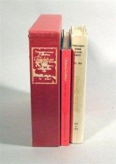 4 vols. Pennsylvania Fraktur Reference
[more like this]
-
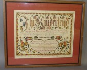 FRAMED & MATTED FRAKTUR BIRTH RECORD FOR
[more like this]
-
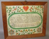 FRAMED COLORFUL BIRTH & BAPTISM RECORD F
[more like this]
-
 3 FRAKTUR WATERCOLORS, ATTRIB. TNGroupin
[more like this]
-
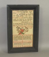 INK & WATERCOLOR FRAKTUR BIRTH & BAPTISM
[more like this]
-
 FRIEDERICH KREBS PRINTED AND HAND DRAWN
[more like this]
-
 7 AMERICAN CAST IRON ANIMAL DRAWN CARTS
[more like this]
-
 FOUR CAST IRON ANIMAL DRAWN WAGONSFour c
[more like this]
This list is limited to only a few results.
Many more items are available to our members in our
Price Guide!


