Pricing Guides & Dictionary of Makers Marks for Antiques & Collectibles

Appraise and find values for
JOHANNES VAN KEULEN - CHART OF...
From
marks4antiques.com
- The most updated price guide and makers' marks research online
As a member, you have access to a team of experts
and assistance is always available to you for free
An example from the millions of items in our Price Guide:
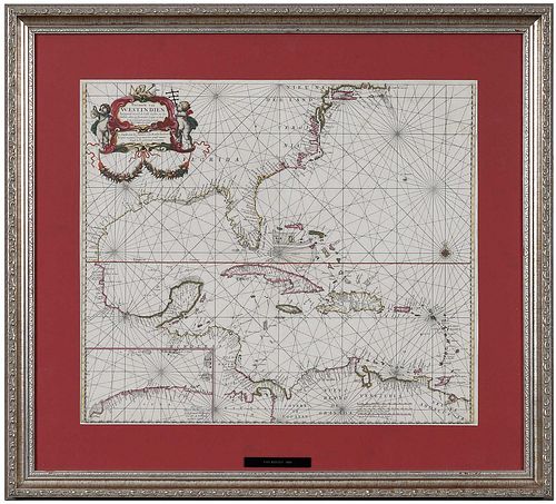
JOHANNES VAN KEULEN - CHART OF THE NEW WORLD, 1684Johannes van Keulen (1654-1715), Pascaerte van West Indien... , Amsterdam, 1684, engraving on thick...
This is an example from our
values4antiques price guide
We do not buy or sell any items
See more price guides
Check our other research services:
IDENTIFY WORLDWIDE MAKERS' MARKS & HALLMARKS
marks4ceramics:
Porcelain, Pottery, Chinaware, Figurines, Dolls, Vases...
marks4silver
:
Silver, Jewelry, Pewter, Silverplate, Copper & Bronze...
Explore other items from our
Antiques & Collectibles Price Guide
-
 JOHANNES VAN KEULEN (DUTCH, 1654-1715)Jo
[more like this]
-
 JOHANNES VAN KEULEN - CHART OF THE NEW W
[more like this]
-
 JOHANNES VAN KEULEN - MAP OF THE CAROLIN
[more like this]
-
 6 PCS ART POTTERY, VAN BRIGGLE & ROOKWOO
[more like this]
-
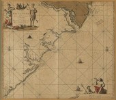 JOHANNES VAN KEULEN, MAP OF BRAZILIA, LA
[more like this]
-
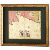 JOHANNIS VAN KEULEN, PORTUGAL MAP, 17TH
[more like this]
-
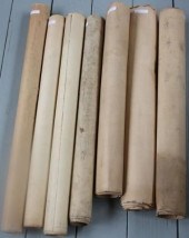 LOT OF SEVEN ROLL UP CHARTS, TO INCLUDE:
[more like this]
-
 LIGHTED NAUTICAL CHART HOLDER & COURSE I
[more like this]
-
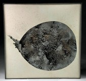 PAUL VAN HOEYDONCK - NAISSANCE DE LA PLA
[more like this]
-
 7 BARBARA VAN CLEVE PHOTOS - RANCH LIFE,
[more like this]
-
 1910 COPPER VASE D'ARCY GAW & DIRK VAN E
[more like this]
-
 1 piece. Hand-Colored Engraved Maps. Ke
[more like this]
-
 LOT OF FOUR 19TH CENTURY NAUTICAL ROLL U
[more like this]
-
 LOT OF FOUR ROLL UP CHARTS TO INCLUDE: 1
[more like this]
-
 BLUEBACK CHART "A NEW CHART OF THE NORTH
[more like this]
-
 HAND DRAWN SHIP'S CHART OF A WHALING VOY
[more like this]
-
 JOHANNES VAN WYK MUSICAL TALL CASE CLOCK
[more like this]
-
 VINCENT VAN GOGH REFERENCE BOOK, 8 Eight
[more like this]
-
 VINCENT VAN GOGH REFERENCE BOOK, 8<br>Ei
[more like this]
-
 ANDREAS CELLARIUS; PETER SCHENK; GERARD
[more like this]
-
 Private Cornelius Van Houten 1st New Jer
[more like this]
-
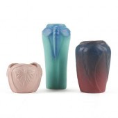 GRP: 3 VINTAGE VAN BRIGGLE ART POTTERY V
[more like this]
-
 (6 PC) RUBENS DITTRICH MINIATURE FURNITU
[more like this]
-
 (6 PC) RUBENS DITTRICH MINIATURE FURNITU
[more like this]
-
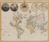 JOHANNES L. VAN LUCHTENBURG (1685-1711)
[more like this]
-
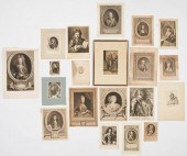 20 ANTIQUE ENGRAVED PORTRAITS, INCL. LAF
[more like this]
-
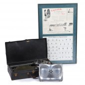 EARLY 1930S "THE SEAT OF HEALTH" PORTABL
[more like this]
-
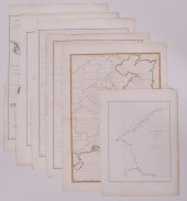 6pc John Barrow China Maps. All maps pub
[more like this]
-
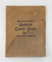 "GEO. W. ELDRIDGE'S HARBOR CHART-BOOK NO
[more like this]
-
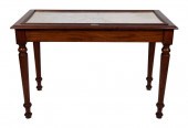 CHART TABLE 19TH CENTURY HEIGHT 33”. WID
[more like this]
-
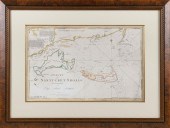 CHART OF NANTUCKET SHOALS SURVEYED BY CA
[more like this]
-
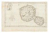 CHART "CARTE DE L'ISLE DE TAITI, PAR LE
[more like this]
-
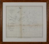 PRELIMINARY CHART OF NANTUCKET SHOALS TO
[more like this]
-
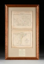 TWO ANTIQUE ANTEBELLUM MAPS, "MAP OF TEX
[more like this]
-
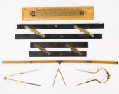 ANTIQUE & VINTAGE MARINE MAP CHART ACCES
[more like this]
-
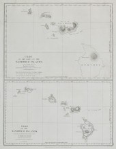 A CHART OF THE SANDWICH ISLANDSA chart o
[more like this]
This list is limited to only a few results.
Many more items are available to our members in our
Price Guide!


