Pricing Guides & Dictionary of Makers Marks for Antiques & Collectibles
Appraise and find values for
MAP MEXICAN STERLING SILVER...
From
marks4antiques.com
- The most updated price guide and makers' marks research online
As a member, you have access to a team of experts
and assistance is always available to you for free
An example from the millions of items in our Price Guide:
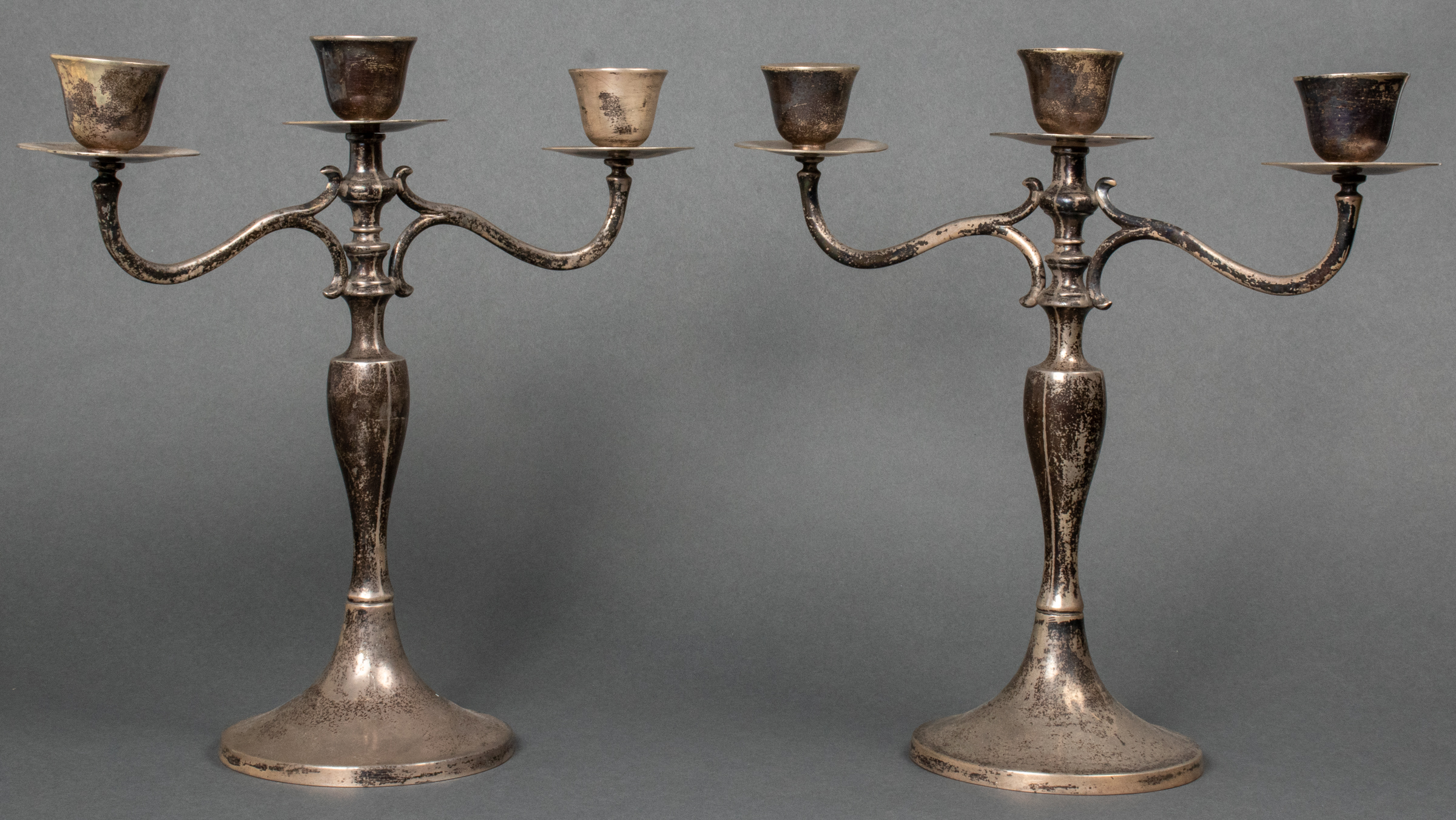
MAP MEXICAN STERLING SILVER CANDELABRA, PAIR MAP Mexican sterling silver three arm candelabra, weighted, hallmarked and marked to underside "MAP 925...
This is an example from our
values4antiques price guide
We do not buy or sell any items
See more price guides
Check our other research services:
IDENTIFY WORLDWIDE MAKERS' MARKS & HALLMARKS
marks4ceramics:
Porcelain, Pottery, Chinaware, Figurines, Dolls, Vases...
marks4silver
:
Silver, Jewelry, Pewter, Silverplate, Copper & Bronze...
Explore other items from our
Antiques & Collectibles Price Guide
-
 BRITANNIA, VOL. I & II CAMDEN 1722Camden
[more like this]
BRITANNIA, VOL. I & II CAMDEN 1722Camden
[more like this]
-
 A COMPLETE SYSTEM OF GEOGRAPHY, VOL. I B
[more like this]
A COMPLETE SYSTEM OF GEOGRAPHY, VOL. I B
[more like this]
-
 IMPORTANT ANTIQUE ATLAS DU VOYAGE DE LA
[more like this]
IMPORTANT ANTIQUE ATLAS DU VOYAGE DE LA
[more like this]
-
 A LATE MEXICAN-AMERICAN WAR ERA MAP, "MA
[more like this]
A LATE MEXICAN-AMERICAN WAR ERA MAP, "MA
[more like this]
-
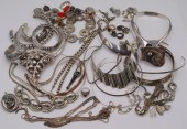
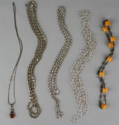
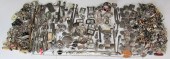 JEWELRY. ASSORTED GROUPING OF STERLING,
[more like this]
JEWELRY. ASSORTED GROUPING OF STERLING,
[more like this]
-
 5 KENTUCKY AND TENNESSEE MAPS1st item: "
[more like this]
5 KENTUCKY AND TENNESSEE MAPS1st item: "
[more like this]
-
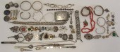 JEWELRY. ASSORTED GROUP OF STERLING, .93
[more like this]
JEWELRY. ASSORTED GROUP OF STERLING, .93
[more like this]
-
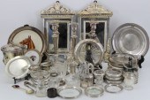
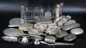
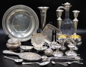
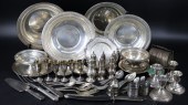 STERLING. MASSIVE ASSORTED STERLING HOLL
[more like this]
STERLING. MASSIVE ASSORTED STERLING HOLL
[more like this]
-
 A RARE ANTIQUE CIVIL WAR ERA MAP, "PRESS
[more like this]
A RARE ANTIQUE CIVIL WAR ERA MAP, "PRESS
[more like this]
-
 3 KY & TN MAPS: VANCE, TANNER, JOHNSON1s
[more like this]
3 KY & TN MAPS: VANCE, TANNER, JOHNSON1s
[more like this]
-
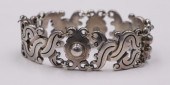 JEWELRY. MEXICAN WILLIAM SPRATLING VINDO
[more like this]
JEWELRY. MEXICAN WILLIAM SPRATLING VINDO
[more like this]
-
 4 TN & KY MAPS, 3 FRAMED1st item: "Tenne
[more like this]
4 TN & KY MAPS, 3 FRAMED1st item: "Tenne
[more like this]
-
 STERLING. ASSORTED GROUPING OF STERLING
[more like this]
STERLING. ASSORTED GROUPING OF STERLING
[more like this]
-
 A Very Large Collection of Maps, 19th/e
[more like this]
A Very Large Collection of Maps, 19th/e
[more like this]
-
 8 TENNESSEE MILITARY & SURVEY MAPSAssort
[more like this]
8 TENNESSEE MILITARY & SURVEY MAPSAssort
[more like this]
-
 STERLING. ASSORTED GROUPING OF STERLING
[more like this]
STERLING. ASSORTED GROUPING OF STERLING
[more like this]
-
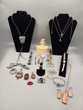
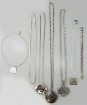 LARGE COLLECTION OF SILVER JEWELRYLARGE
[more like this]
LARGE COLLECTION OF SILVER JEWELRYLARGE
[more like this]
-
 A TOPOGRAPHICAL MAP OF THE ENVIRONS OF L
[more like this]
A TOPOGRAPHICAL MAP OF THE ENVIRONS OF L
[more like this]
-
 11 PC. MAP COLLECTION: Comprising; 1- La
[more like this]
11 PC. MAP COLLECTION: Comprising; 1- La
[more like this]
-
 16TH / 18TH C. EUROPEAN MAPS OF NEW SPAI
[more like this]
16TH / 18TH C. EUROPEAN MAPS OF NEW SPAI
[more like this]
-
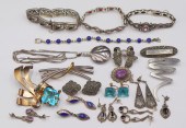
 JEWELRY. ASSORTED GROUPING OF STERLING J
[more like this]
JEWELRY. ASSORTED GROUPING OF STERLING J
[more like this]
-
 JEWELRY. ASSORTED GROUPING STERLING AND
[more like this]
JEWELRY. ASSORTED GROUPING STERLING AND
[more like this]
-
 AN IMPORTANT REPUBLIC OF TEXAS MAP, "MAP
[more like this]
AN IMPORTANT REPUBLIC OF TEXAS MAP, "MAP
[more like this]
-
 AN ANTIQUE RECONSTRUCTION ERA MAP, "KOSS
[more like this]
AN ANTIQUE RECONSTRUCTION ERA MAP, "KOSS
[more like this]
-
 3 19TH CENT. AL, KY, & TN MAPS1st item:
[more like this]
3 19TH CENT. AL, KY, & TN MAPS1st item:
[more like this]
-
 MAP AND ATLAS LOT, 3 PCS INCL. MELISH DI
[more like this]
MAP AND ATLAS LOT, 3 PCS INCL. MELISH DI
[more like this]
-
 5 CIVIL WAR MAPSLot of five Civil War ma
[more like this]
5 CIVIL WAR MAPSLot of five Civil War ma
[more like this]
-
 STERLING. GROUPING OF STERLING VANITY IT
[more like this]
STERLING. GROUPING OF STERLING VANITY IT
[more like this]
-
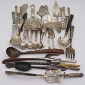
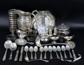
 Large Group of Silver- Jewelry, Utensils
[more like this]
Large Group of Silver- Jewelry, Utensils
[more like this]
-
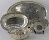
 SILVER. ASSORTED STERLING AND SILVER HOL
[more like this]
SILVER. ASSORTED STERLING AND SILVER HOL
[more like this]
-
 STERLING. ASSORTED GROUPING OF STERLING
[more like this]
STERLING. ASSORTED GROUPING OF STERLING
[more like this]
-
 LARGE COLLECTION OF SILVER JEWELRYLARGE
[more like this]
LARGE COLLECTION OF SILVER JEWELRYLARGE
[more like this]
-
 135PCS ASSEMBLED AMERICAN SILVER "OLIVE"
[more like this]
135PCS ASSEMBLED AMERICAN SILVER "OLIVE"
[more like this]
-
 JEWELRY. ASSORTED STERLING JEWELRY GROUP
[more like this]
JEWELRY. ASSORTED STERLING JEWELRY GROUP
[more like this]
-
 NATIVE AMERICAN/WESTERN U.S. EXPEDITION
[more like this]
NATIVE AMERICAN/WESTERN U.S. EXPEDITION
[more like this]
-
 STERLING. ASSORTED GROUPING OF MEXICAN S
[more like this]
STERLING. ASSORTED GROUPING OF MEXICAN S
[more like this]
This list is limited to only a few results.
Many more items are available to our members in our
Price Guide!
Ideal research tools for Collectors, Personal Property Appraisers, Antiques & Collectibles
Dealers, Auction Houses, Museums, eBayers or
other online
sellers (Rubylane, Etsy etc) and curious minds interested in appraising & identifying collectibles

EASY. FAST. ACCURATE.
Research at its best

Our research tools include:


