Pricing Guides & Dictionary of Makers Marks for Antiques & Collectibles

Appraise and find values for
McNally's Commercial Atlas and...
From
marks4antiques.com
- The most updated price guide and makers' marks research online
As a member, you have access to a team of experts
and assistance is always available to you for free
An example from the millions of items in our Price Guide:
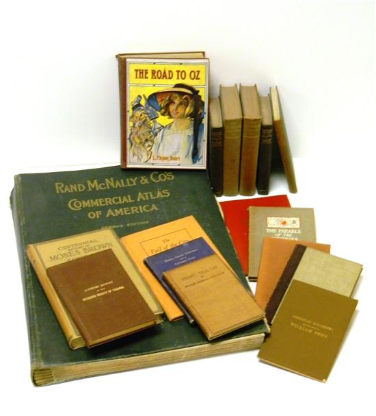
McNally's Commercial Atlas and sixteen small books including: 1909 illustrated copy of ''Road to Oz'' by L. Frank Baum ''The Fall of the City'' by...
This is an example from our
values4antiques price guide
We do not buy or sell any items
See more price guides
Check our other research services:
IDENTIFY WORLDWIDE MAKERS' MARKS & HALLMARKS
marks4ceramics:
Porcelain, Pottery, Chinaware, Figurines, Dolls, Vases...
marks4silver
:
Silver, Jewelry, Pewter, Silverplate, Copper & Bronze...
Explore other items from our
Antiques & Collectibles Price Guide
-
 THE RAND MCNALLY & CO.'S TERRESTRIAL GLO
[more like this]
-
 RAND MCNALLY'S 1892 1ST MARKETED SCHOOL
[more like this]
-
 4PC CRAM & RAND MCNALLY WORLD ATLASES ,1
[more like this]
-
 RAND MCNALLY & CO. INDEXED ATLAS OF THE
[more like this]
-
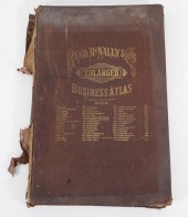 RAND MCNALLY & CO. ENLARGED BUSINESS ATL
[more like this]
-
 1894 RAND MCNALLY & CO ATLAS OF THE WORL
[more like this]
-
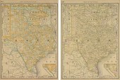 TWO VINTAGE MAPS, "VERTICAL MAP OF TEXAS
[more like this]
-
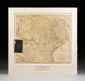 AN ANTIQUE MAP, "RAND MCNALLY & CO.'S NE
[more like this]
-
 (2 PC) PURVIS YOUNG X RAND MCNALLY COMME
[more like this]
-
 AN ANTIQUE MAP, "RAND MCNALLY & CO. NEW
[more like this]
-
 AN ANTIQUE MAP, "RAND MCNALLY & CO.'S TE
[more like this]
-
 (6) ANTIQUE TEXAS MAPS<br>(lot of 6)&nbs
[more like this]
-
 5 KENTUCKY AND TENNESSEE MAPS1st item: "
[more like this]
-
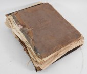 6PC ASSORTED ANTIQUE 1870'S ATLASES Unit
[more like this]
-
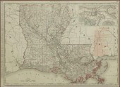 RAND, MCNALLY & CO ATLAS MAP LOUISIANA R
[more like this]
-
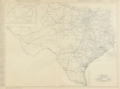 AN VINTAGE MAP, "BLACK AND WHITE MILEAGE
[more like this]
-
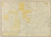 AN ANTIQUE MAP, "RAND MCNALLY & CO.'S NE
[more like this]
-
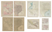 (6) ANTIQUE TEXAS MAPS<br>(lot of 6)&nbs
[more like this]
-
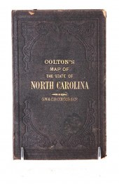 Travel maps of North and South Carolina
[more like this]
-
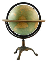 1930S RAND MCNALLY AND CO. TERRESTRIAL L
[more like this]
-
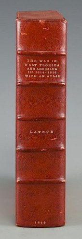 LATOUR WAR IN WEST FLORIDA LA 1814-1815,
[more like this]
-
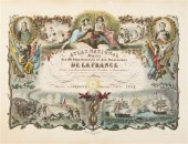 (ATLAS FRONTISPIECES) A group of four ti
[more like this]
-
 RAND MCNALLY & CO. WEST INDIES COLOR POC
[more like this]
-
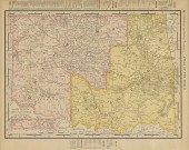 AN ANTIQUE MAP, "RAND MCNALLY & CO.'S NE
[more like this]
-
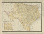 AN ANTIQUE MAP, "RAND MCNALLY & CO.'S NE
[more like this]
-
 GEORGE SETON COGGESHALL, ILLINOIS (1914
[more like this]
-
 GEORGE SETON COGGESHALL, ILLINOIS (1914
[more like this]
-
 GEORGE SETON COGGESHALL, ILLINOIS (1914
[more like this]
-
 GEORGE SETON COGGESHALL, ILLINOIS (1914
[more like this]
-
 GEORGE SETON COGGESHALL, ILLINOIS (1914
[more like this]
-
 GEORGE SETON COGGESHALL, ILLINOIS (1914
[more like this]
-
 GEORGE SETON COGGESHALL, ILLINOIS (1914
[more like this]
-
 GEORGE SETON COGGESHALL, ILLINOIS (1914
[more like this]
-
 GEORGE SETON COGGESHALL, ILLINOIS (1914
[more like this]
-
 GEORGE SETON COGGESHALL, ILLINOIS (1914
[more like this]
-
 GEORGE SETON COGGESHALL, ILLINOIS (1914
[more like this]
This list is limited to only a few results.
Many more items are available to our members in our
Price Guide!


