Pricing Guides & Dictionary of Makers Marks for Antiques & Collectibles

Appraise and find values for
REVOLUTIONARY WAR ATLAS,...
From
marks4antiques.com
- The most updated price guide and makers' marks research online
As a member, you have access to a team of experts
and assistance is always available to you for free
An example from the millions of items in our Price Guide:
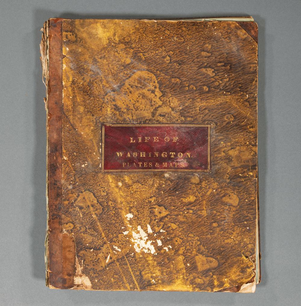
REVOLUTIONARY WAR ATLAS, 1807[Revolutionary War Atlas], The Life of George Washington. Maps and Subscribers' Names, Philadelphia, C.P. Wayne, 1807, with 10...
This is an example from our
values4antiques price guide
We do not buy or sell any items
See more price guides
Check our other research services:
IDENTIFY WORLDWIDE MAKERS' MARKS & HALLMARKS
marks4ceramics:
Porcelain, Pottery, Chinaware, Figurines, Dolls, Vases...
marks4silver
:
Silver, Jewelry, Pewter, Silverplate, Copper & Bronze...
Explore other items from our
Antiques & Collectibles Price Guide
-
 A LATE MEXICAN-AMERICAN WAR ERA MAP, "MA
[more like this]
-
 IMPORTANT CHIPPENDALE SERPENTINE-FRONT B
[more like this]
-
 REVOLUTIONARY WAR ATLAS, 1807[Revolution
[more like this]
-
 WINCHESTER REVOLUTIONARY WAR ACCOUNT BOO
[more like this]
-
 Civil War firearms related books: George
[more like this]
-
 6PC ASSORTED ANTIQUE 1870'S ATLASES Unit
[more like this]
-
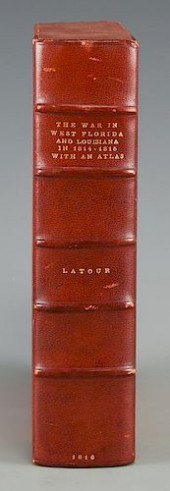 LATOUR WAR IN WEST FLORIDA LA 1814-1815,
[more like this]
-
 COLLECTION OF REVOLUTIONARY WAR-THEMED I
[more like this]
-
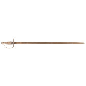 C. 1775-1780 AMERICAN REVOLUTIONARY WAR
[more like this]
-
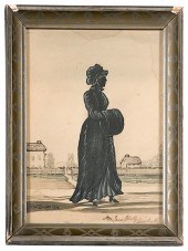 Silhouette of Kentucky First Lady Mrs. I
[more like this]
-
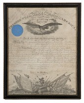 Capt. George Randolph Dyer AQM--Lincoln-
[more like this]
-
 CIVIL WAR MAP 1892, HARPER'S FERRY, W. V
[more like this]
-
 SIGNED SCRIMSHAW WHALE'S TOOTH WITH HIST
[more like this]
-
 Archive of Documents Associated with the
[more like this]
-
 Ben E. Green Politician & Colonel Unpubl
[more like this]
-
 EXTENSIVE AND UNIQUE COLLECTION OF MEMOR
[more like this]
-
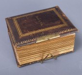 CARTE DE VISITE ALBUM, "STONEWALL" JACKS
[more like this]
-
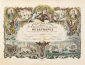 (ATLAS FRONTISPIECES) A group of four ti
[more like this]
-
 5 KENTUCKY AND TENNESSEE MAPS1st item: "
[more like this]
-
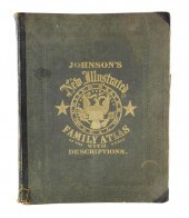 BOOK: JOHNSON'S NEW ILLUSTRATED FAMILY A
[more like this]
-
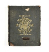 A CIVIL WAR ERA ATLAS, "JOHNSON'S NEW IL
[more like this]
-
 ENGRAVINGS OF AMERICAN REVOLUTIONARY OFF
[more like this]
-
 C. 1780S REVOLUTIONARY WAR ERA WIRE BAND
[more like this]
-
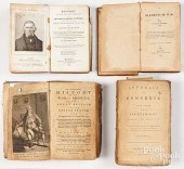 FOUR BOOKS ON REVOLUTIONARY WAR SUBJECTS
[more like this]
-
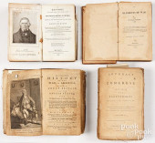 FOUR BOOKS ON REVOLUTIONARY WAR SUBJECTS
[more like this]
-
 GROUP OF AFRICAN AMERICAN MILITARY HISTO
[more like this]
-
 BASKERVILLE WATERCOLOR - US SAILORS AT M
[more like this]
-
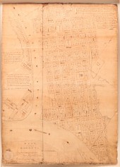 IMPORTANT MARIETTA, OHIO PLAT MAP BY RUF
[more like this]
-
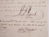 RICHARD VARICK, NYC MAYOR, REVOLUTIONARY
[more like this]
-
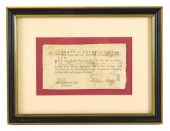 HISTORICAL DOCUMENT: 1781 CONNECTICUT RE
[more like this]
-
 (EARLY 20TH CENTURY) SET OF SIX REVOLUTI
[more like this]
-
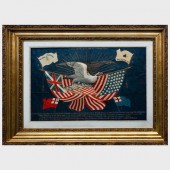 JAPANESE EXPORT SILK AND METALLIC THREAD
[more like this]
-
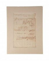 REVOLUTIONARY WAR, CONNECTICUT PAY SLIP,
[more like this]
-
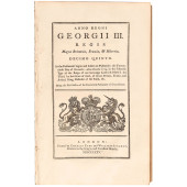 1774-75 DATED REVOLUTIONARY WAR PERIOD T
[more like this]
-
 1777 REVOLUTIONARY WAR MASS. JUSTICE OF
[more like this]
-
 C. 1780 REVOLUTIONARY WAR PERIOD LEATHER
[more like this]
This list is limited to only a few results.
Many more items are available to our members in our
Price Guide!


