Pricing Guides & Dictionary of Makers Marks for Antiques & Collectibles

Appraise and find values for
Royal Doulton Rouge Flambe Fox...
From
marks4antiques.com
- The most updated price guide and makers' marks research online
As a member, you have access to a team of experts
and assistance is always available to you for free
An example from the millions of items in our Price Guide:
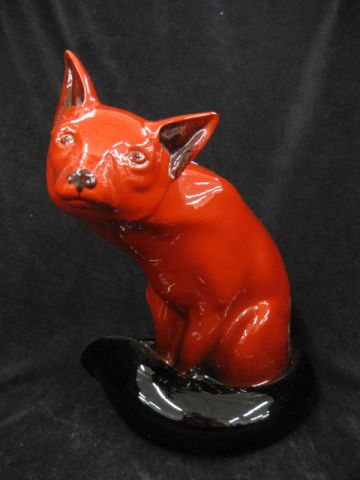
Royal Doulton Rouge Flambe Fox Figurine 9 1/4'' model #102 scarce 1913-1962....
This is an example from our
values4antiques price guide
We do not buy or sell any items
See more price guides
Check our other research services:
IDENTIFY WORLDWIDE MAKERS' MARKS & HALLMARKS
marks4ceramics:
Porcelain, Pottery, Chinaware, Figurines, Dolls, Vases...
marks4silver
:
Silver, Jewelry, Pewter, Silverplate, Copper & Bronze...
Explore other items from our
Antiques & Collectibles Price Guide
-
 STEUBEN ROUGE FLAMBE TUMBLERDESCRIPTION:
[more like this]
-
 STEUBEN ROUGE FLAMBE TUMBLERDESCRIPTION:
[more like this]
-
 RARE PROTOTYPE ROYAL DOULTON FLAMBE TALL
[more like this]
-
 RARE PROTOTYPE ROYAL DOULTON FLAMBE TALL
[more like this]
-
 31 pieces. Movie Posters. (Drama, ca. 1
[more like this]
-
 4 ROYAL DOULTON FOX FIGURINES<br>4 Royal
[more like this]
-
 39 pieces. Movie Posters. (Drama, 1950-
[more like this]
-
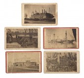 McPherson & Oliver Civil War CDVs Taken
[more like this]
-
 16 pieces. Movie Posters. (American Mus
[more like this]
-
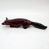 ROYAL DOULTON FLAMBE FIGURINE, FOX STALK
[more like this]
-
 Fox and brass decorator grouping to incl
[more like this]
-
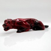 ROYAL DOULTON FLAMBE ANIMAL FIGURE, TIGE
[more like this]
-
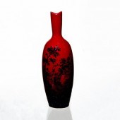 ROYAL DOULTON FLAMBE WOODCUT VASE 1603Ri
[more like this]
-
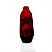 ROYAL DOULTON FLAMBE WOODCUT VASE 1614Ri
[more like this]
-
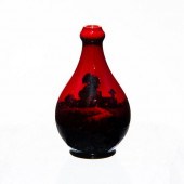 ROYAL DOULTON FLAMBE, MINI BUD VASERich
[more like this]
-
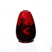 ROYAL DOULTON FLAMBE, OVOID MINI VASERic
[more like this]
-
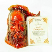 CONFUCIUS D7003 FLAMBE LARGE - ROYAL DOU
[more like this]
-
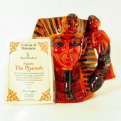 PHARAOH D7028 FLAMBE LARGE - ROYAL DOULT
[more like this]
-
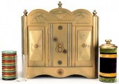 PAUL FOX CHECKER CABINET.Paul Fox Checke
[more like this]
-
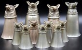 SILVERPLATE. FOX HEAD STIRRUP CUPS INC.
[more like this]
-
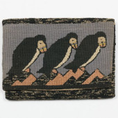 TWO GRENFELL HOOKED PURSES WITH PUFFINS
[more like this]
-
 POTTERY: NINETEEN PIECES INCLUDING ROYAL
[more like this]
-
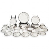 (71 PC) ROYAL DOULTON "FLOWER LACE" DINN
[more like this]
-
 (6 PC) ROYAL DOULTON PORCELAIN FIGURINE
[more like this]
-
 TWO ROYAL DOULTON FOX PORCELAIN PIECESTw
[more like this]
-
 2 ROYAL DOULTON FOX HN147 FIGURINES<br>2
[more like this]
-
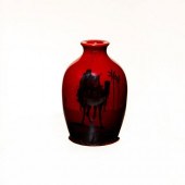 ROYAL DOULTON PORCELAIN FLAMBE VASE IN M
[more like this]
-
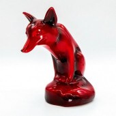 ROYAL DOULTON FLAMBE ANIMAL, FOX SEATED
[more like this]
-
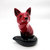 ROYAL DOULTON FLAMBE FIGURINE, FOX, SEAT
[more like this]
-
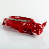 ROYAL DOULTON FLAMBE, FOX BOWL STALKING
[more like this]
-
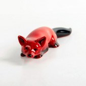 ROYAL DOULTON FLAMBE FIGURINE, FOX STALK
[more like this]
-
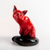 ROYAL DOULTON FLAMBE FIGURINE, SEATED FO
[more like this]
-
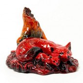 ROYAL DOULTON FLAMBE COLORWAY FIGURINE,
[more like this]
-
 MOTHER AND DAUGHTER COLORWAY FLAMBE - PR
[more like this]
-
 FOUR ROYAL DOULTON 'FLAMBE' VASES AND A
[more like this]
-
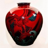 ROYAL DOULTON SUNG FLAMBE EXHIBITION VAS
[more like this]
This list is limited to only a few results.
Many more items are available to our members in our
Price Guide!


