Pricing Guides & Dictionary of Makers Marks for Antiques & Collectibles

Appraise and find values for
Smith (Charles) A New General...
From
marks4antiques.com
- The most updated price guide and makers' marks research online
As a member, you have access to a team of experts
and assistance is always available to you for free
An example from the millions of items in our Price Guide:
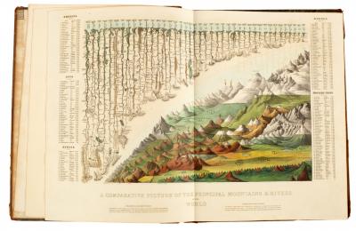
Smith (Charles) A New General Atlas, 1834. Large 4to., cont. half calf. Engraved title. 56 hand coloured engraved maps, some double page/see illustration...
This is an example from our
values4antiques price guide
We do not buy or sell any items
See more price guides
Check our other research services:
IDENTIFY WORLDWIDE MAKERS' MARKS & HALLMARKS
marks4ceramics:
Porcelain, Pottery, Chinaware, Figurines, Dolls, Vases...
marks4silver
:
Silver, Jewelry, Pewter, Silverplate, Copper & Bronze...
Explore other items from our
Antiques & Collectibles Price Guide
-
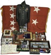 General Fred K. Mahaffey Archive Archive
[more like this]
-
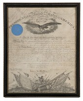 Capt. George Randolph Dyer AQM--Lincoln-
[more like this]
-
 Charles Hook Armco Steel Company Lot of
[more like this]
-
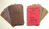 23 vols. (wrappers. Pierce-Arrow Motor
[more like this]
-
 * Colt Aircrewman AF-1 Presented to Gene
[more like this]
-
 GLASGOW AND CHARLES RENNIE MACKINTOSH
CO
[more like this]
-
 CSA Account Book of Capt. W.S. Wickham f
[more like this]
-
 Autographs of World War II Generals Eigh
[more like this]
-
 Breckinridge Family Archive Approx. 165
[more like this]
-
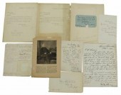 (10) U.S. CIVIL WAR UNION GENERALS, LETT
[more like this]
-
 A LATE MEXICAN-AMERICAN WAR ERA MAP, "MA
[more like this]
-
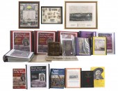 EXTENSIVE AND UNIQUE COLLECTION OF MEMOR
[more like this]
-
 LARGE LOT OF HISTORICAL DOCUMENTS ANDPHO
[more like this]
-
 LEON POLK SMITH (1906-1996) WOOD SCULPTU
[more like this]
-
 William Charles Mark Kent (1823-1902) a
[more like this]
-
 LRG GRP: BOOKS ON AFRICA AND AFRICAN ART
[more like this]
-
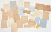 CIVIL WAR ARCHIVE, INCL. GEN. BATE ON DE
[more like this]
-
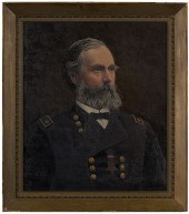 General Orlando B. Willcox Medal of Hono
[more like this]
-
 DAVID ALFARO SIQUEIROS (1896-1974), FOUR
[more like this]
-
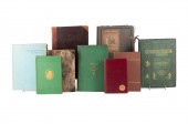 9VOL C. DICKENS BOOKS WITH EARLY EDITION
[more like this]
-
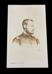 (7) CIVIL WAR TINTYPES, CDV'S, & MORE(lo
[more like this]
-
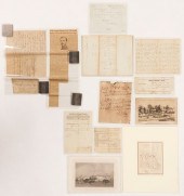 TN CIVIL WAR RELATED AUTOGRAPHS, EPHEMER
[more like this]
-
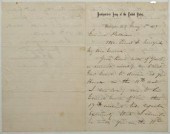 General William T. Sherman letter, ALS,
[more like this]
-
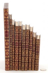 10 ASST. CHARLES DICKENS BOOKS, INCL. 1S
[more like this]
-
![[Civil War - Autographs] Civil](/images/civil-war-autographs-civil--15efc4-medium.jpg) [Civil War - Autographs] Civil War Union
[more like this]
[Civil War - Autographs] Civil War Union
[more like this]
-
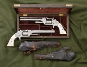 Pair of Nimschke-Style Engraved Smith &
[more like this]
-
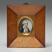 George Washington Miniature Portrait Aft
[more like this]
-
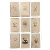 NINE CDVS OF CONFEDERATE GENERALS Lt. Ge
[more like this]
-
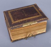 CARTE DE VISITE ALBUM, "STONEWALL" JACKS
[more like this]
-
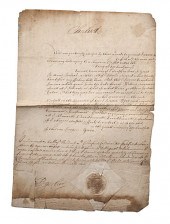 Charles I King of England DS Blank manus
[more like this]
-
 ALICE RAVENEL HUGER SMITH WATERCOLOR PAI
[more like this]
-
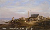 Attributed to Marshall Joseph Smith Jr.
[more like this]
-
 SMITH Charles Augustus. O/C of Ethereal
[more like this]
-
 SMITH Charles Augustus. O/C of Ethereal
[more like this]
-
 COLLECTION OF FIFTEEN FIRST OR EARLY EDI
[more like this]
-
 GEORGE A. CUSTER'S OWN S&W NO. 2 ARMY RE
[more like this]
This list is limited to only a few results.
Many more items are available to our members in our
Price Guide!


