Pricing Guides & Dictionary of Makers Marks for Antiques & Collectibles

Appraise and find values for
Three Flemish Topographical City...
From
marks4antiques.com
- The most updated price guide and makers' marks research online
As a member, you have access to a team of experts
and assistance is always available to you for free
An example from the millions of items in our Price Guide:
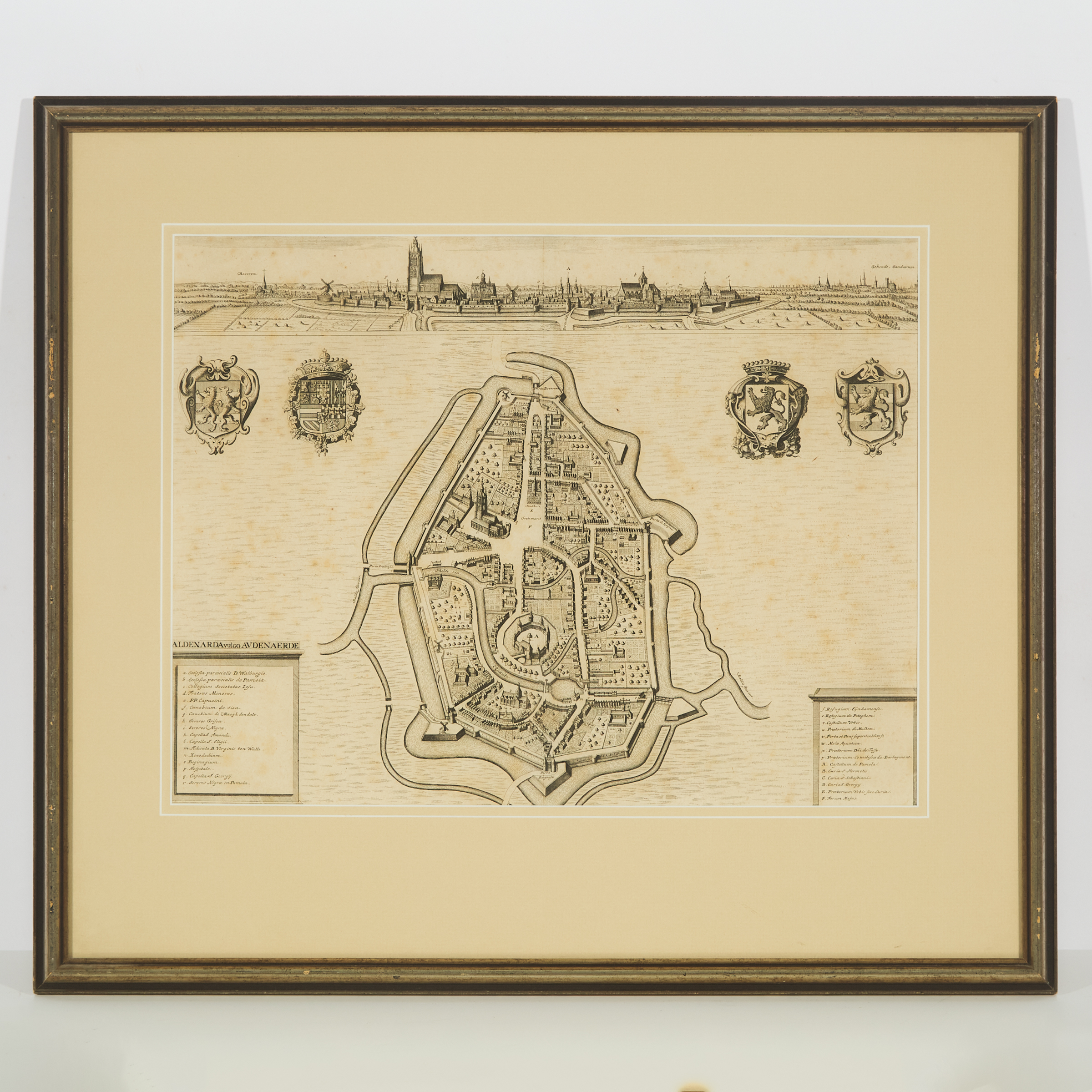
Three Flemish Topographical City Maps: Flanders, Oudenaarde and Namur, 17th and 18th centuries each a copper plate engraving, framed, comprising: Isaac...
This is an example from our
values4antiques price guide
We do not buy or sell any items
See more price guides
Check our other research services:
IDENTIFY WORLDWIDE MAKERS' MARKS & HALLMARKS
marks4ceramics:
Porcelain, Pottery, Chinaware, Figurines, Dolls, Vases...
marks4silver
:
Silver, Jewelry, Pewter, Silverplate, Copper & Bronze...
Explore other items from our
Antiques & Collectibles Price Guide
-
 Photographic Archive of Miles City Monta
[more like this]
-
 BOOK: TOPOGRAPHICAL ATLAS OF CONNECTICUT
[more like this]
-
 SILVER. ASSORTED GROUPING OF ENGLISH SIL
[more like this]
-
 Historic Guthrie Oklahoma/Chickamauga Pr
[more like this]
-
 Pair of Nimschke-Style Engraved Smith &
[more like this]
-
 TOPOGRAPHICAL MAP OF UPPER CANADA, 1815A
[more like this]
-
 WELLER FLEMISH VASE AND WOODCRAFT BOWL,
[more like this]
-
 JOOS DE MOMPER (FLEMISH 1564-1635) AND S
[more like this]
-
 CIRCLE OF ADRIAEN THOMASZ KEY (FLEMISH 1
[more like this]
-
 Jacques Tanesse (New Orleans) "Plan of t
[more like this]
-
 SEYER (REV. S) MEMOIRS HISTORICAL AND TO
[more like this]
-
 JOHN FERRY (MISSOURI 20TH C.) KANSAS CIT
[more like this]
-
 THREE DUTCH PORCELAIN BLUE AND WHITE HOL
[more like this]
-
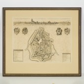 Three Flemish Topographical City Maps: F
[more like this]
-
 HENRY PEARSON, AMERICAN (1914-2006), UNS
[more like this]
-
 A LATE MEXICAN-AMERICAN WAR ERA MAP, "MA
[more like this]
-
 STUDIO OF ANTHONY VAN DYCK(Flemish, 1599
[more like this]
-
 FLEMISH SCHOOL O/C PAINTING AFTER PETER
[more like this]
-
 THREE ENGLISH PORCELAIN TOPOGRAPHICAL TA
[more like this]
-
 7 vols. D'Aulaire, Ingri and Edgar Pari
[more like this]
-
 7 vols. Arkham House Titles: Asquith, C
[more like this]
-
 Tiffany & Co sterling loving cup circa 1
[more like this]
-
 C. 1883 KANSAS CITY'S LIVE STOCK TRADERS
[more like this]
-
 MILES CITY, MONTANA WILLIAM & ELLA STRON
[more like this]
-
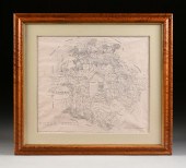 A FACSIMILE CADASTRAL MAP, "MAP OF BEXAR
[more like this]
-
 18th century Flemish School painting, Ma
[more like this]
-
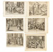 UNFRAMED OLD MASTER RELIGIOUS ENGRAVINGS
[more like this]
-
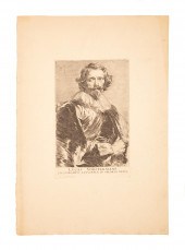 AFTER ANTHONY VAN DYKE (FLEMISH, 1599-16
[more like this]
-
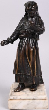 BRONZE FIGURE OF OLD WOMAN, FRANCO-FLEMI
[more like this]
-
 A MOUNT WASHINGTON ROYAL FLEMISH ART GLA
[more like this]
-
 FLEMISH STYLE HAND-WOVEN TAPESTRY BATTLE
[more like this]
-
 (2) WELLER POTTERY FLORAL JARDINIERES &
[more like this]
-
 AFTER PETER PAUL RUBENS (FLEMISH 1577-16
[more like this]
-
 STUDENTS OF ANTHONY VAN DYCK (FLEMISH 15
[more like this]
-
 GROUP OF BOOKS RELATING TO EUROPEAN TAPE
[more like this]
-
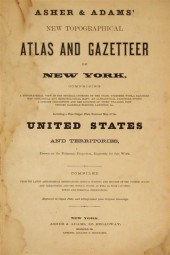 2 vols. American 19th-Century State Atl
[more like this]
This list is limited to only a few results.
Many more items are available to our members in our
Price Guide!


