Pricing Guides & Dictionary of Makers Marks for Antiques & Collectibles

Appraise and find values for
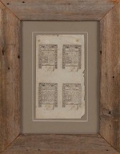
UNCUT SHEET OF RHODE ISLAND...
From
marks4antiques.com
- The most updated price guide and makers' marks research online
As a member, you have access to a team of experts
and assistance is always available to you for free
An example from the millions of items in our Price Guide:
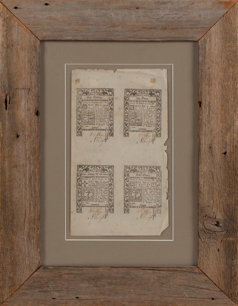
UNCUT SHEET OF RHODE ISLAND COLONIAL CURRENCY NOTES 1786 SHEET SIZE 12.25" X 6.75". FRAMED 22.5" X 17".UNCUT SHEET OF RHODE ISLAND COLONIAL CURRENCY NOTES,...
This is an example from our
values4antiques price guide
We do not buy or sell any items
See more price guides
Check our other research services:
IDENTIFY WORLDWIDE MAKERS' MARKS & HALLMARKS
marks4ceramics:
Porcelain, Pottery, Chinaware, Figurines, Dolls, Vases...
marks4silver
:
Silver, Jewelry, Pewter, Silverplate, Copper & Bronze...
Explore other items from our
Antiques & Collectibles Price Guide
-
 EXTENSIVE AND UNIQUE COLLECTION OF MEMOR
[more like this]
-
 CURRENCY: TWO UNCUT CURRENCY SHEETS: ONE
[more like this]
-
 IMPORTANT RHODE ISLAND DYER FAMILY COAT
[more like this]
-
 SPORTS MEMORIABILLA: 900+ CARDS AND THRE
[more like this]
-
 ANGELO PINTO (american 1908-1994) four
[more like this]
-
 CHARLES BANKS WILSON (american b. 1918)
[more like this]
-
 UNCUT SHEET OF RHODE ISLAND COLONIAL CUR
[more like this]
-
 PABLO PICASSO (spanish 1881-1973) "LA
[more like this]
-
 TWO SHEETS OF UNCUT FIVE-DOLLAR BILLS AN
[more like this]
-
 SYDNEY RICHMOND BURLEIGH DUTCH GIRL WC P
[more like this]
-
 SEVENTY ASSORTED DOCUMENTSSEVENTY ASSORT
[more like this]
-
 RARE SET FIVE RHODE ISLAND FEDERAL MAHOG
[more like this]
-
 CIVIL AND SPANISH AMERICAN WAR RELATED A
[more like this]
-
 8 TENNESSEE MILITARY & SURVEY MAPSAssort
[more like this]
-
 CURRENCY: LOT OF THREE FRACTIONAL CURREN
[more like this]
-
 3 ENGRAVED MAPS RHODE ISLAND, CONNECTICU
[more like this]
-
 REMBRANDT HARMENSZ VAN RIJN (dutch 1606
[more like this]
-
 5 KENTUCKY AND TENNESSEE MAPS1st item: "
[more like this]
-
 BANK OF AMERICA 1860S RHODE ISLAND REMAI
[more like this]
-
 Books: collection of Rhode Island/Wester
[more like this]
-
 WILLIAM TROST RICHARDS (PENNSYLVANIA/RHO
[more like this]
-
 GEORGE WILLIAM WHITAKER (RHODE ISLAND/NE
[more like this]
-
 CHARLES GORDON HARRIS (RHODE ISLAND, 189
[more like this]
-
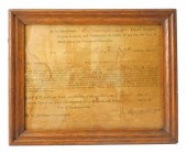 DOCUMENT: RHODE ISLAND MILITARY APPOINTM
[more like this]
-
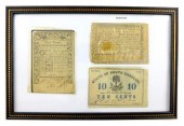 CURRENCY: LOT OF THREE BANK NOTES OF HIS
[more like this]
-
 SIDNEY CHAFETZ, OHIO, RHODE ISLAND (1922
[more like this]
-
 FOUR 19TH CENTURY PAMPHLETS PERTAINING T
[more like this]
-
 FRANK CONVERS MATHEWSON (RHODE ISLAND, 1
[more like this]
-
 MAXWELL MAYS (RHODE ISLAND, 1918-2009),
[more like this]
-
 WILLIAM TROST RICHARDS (PENNSYLVANIA/RHO
[more like this]
-
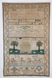 PORTSMOUTH, NEWPORT, RHODE ISLAND SAMPLE
[more like this]
-
 RHODE ISLAND TIGER MAPLE PORRINGER TOP S
[more like this]
-
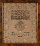 RHODE ISLAND NEEDLEWORK SAMPLER DATED 18
[more like this]
-
 (19) AMERICAN COIN SILVER SPOONS. 18TH A
[more like this]
-
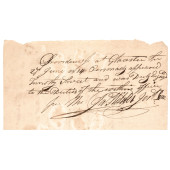 WAR OF 1812 RHODE ISLAND MILITIA SOLDIER
[more like this]
-
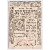 COLONIAL CURRENCY, NOVEMBER 6, 1775, RHO
[more like this]
This list is limited to only a few results.
Many more items are available to our members in our
Price Guide!


