Pricing Guides & Dictionary of Makers Marks for Antiques & Collectibles

Appraise and find values for
WILLIAM HACKE AND ROBERT MORDEN,...
From
marks4antiques.com
- The most updated price guide and makers' marks research online
As a member, you have access to a team of experts
and assistance is always available to you for free
An example from the millions of items in our Price Guide:
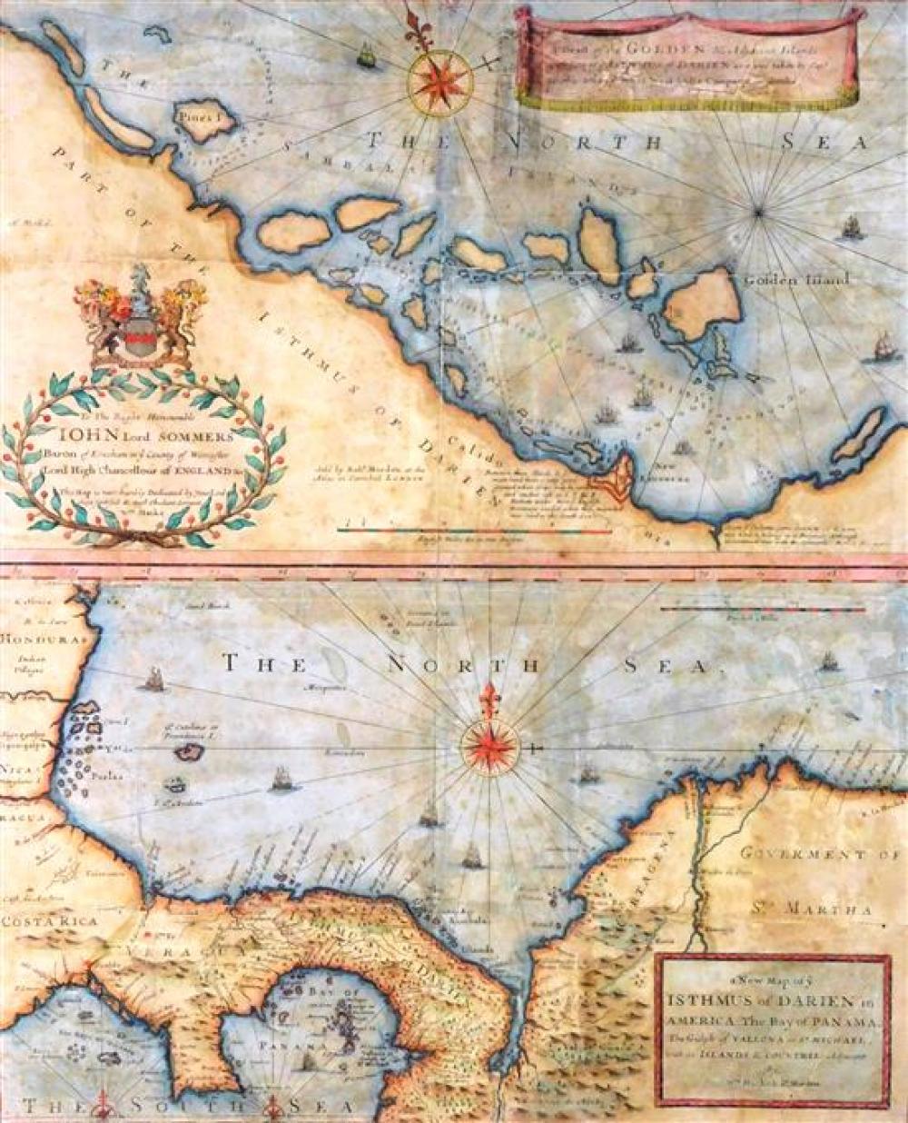
WILLIAM HACKE AND ROBERT MORDEN, 17TH C. MAP PROMOTING SCOTLAND’S “DARIEN SCHEME” IN PANAMA, RARE FIRST EDITION, 1699, TWO ENGRAVED...William Hacke and...
This is an example from our
values4antiques price guide
We do not buy or sell any items
See more price guides
Check our other research services:
IDENTIFY WORLDWIDE MAKERS' MARKS & HALLMARKS
marks4ceramics:
Porcelain, Pottery, Chinaware, Figurines, Dolls, Vases...
marks4silver
:
Silver, Jewelry, Pewter, Silverplate, Copper & Bronze...
Explore other items from our
Antiques & Collectibles Price Guide
-
 WILLIAM HACKE AND ROBERT MORDEN, 17TH C.
[more like this]
-
 Letters Between the Sturges Brothers Mos
[more like this]
-
 MORDEN: ANTIQUE MAP OF FLORIDA & GREAT L
[more like this]
-
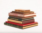 TEN BOOKS/MAGAZINES RELATING TO ROBERT W
[more like this]
-
 GRP: MODERN AND CONTEMPORARY ART BOOKSLa
[more like this]
-
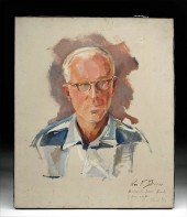 SIGNED WILLIAM DRAPER PORTRAIT OF JOSEPH
[more like this]
-
 16 SARTORIAL AND SOCIETY HARDCOVER VOLUM
[more like this]
-
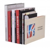 (10) BOOKS & MAGAZINE ON ARTIST ROBERT I
[more like this]
-
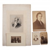 Breckinridge Family Archive Approx. 165
[more like this]
-
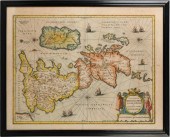 THREE MAPS OF THE ENGLISH ISLESTHREE MAP
[more like this]
-
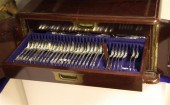 A matched part canteen of George IV and
[more like this]
-
 An 18ct gold extending propelling pencil
[more like this]
-
 20TH CENTURY SCHOOL, SHEPHERD WITH HIS F
[more like this]
-
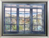 C. ROBERT PERRIN WATERCOLOR ON PAPER "VI
[more like this]
-
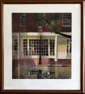 C. ROBERT PERRIN WATERCOLOR ON PAPER "ZE
[more like this]
-
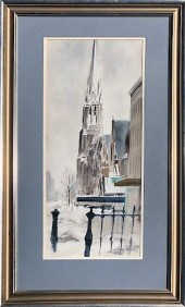 C. ROBERT PERRIN WATERCOLOR ON PAPER "SN
[more like this]
-
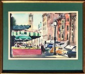 C. ROBERT PERRIN WATERCOLOR ON PAPER "BO
[more like this]
-
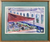 C. ROBERT PERRIN WATERCOLOR ON PAPER "BO
[more like this]
-
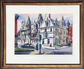 C. ROBERT PERRIN WATERCOLOR ON PAPER "BU
[more like this]
-
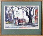 C. ROBERT PERRIN WATERCOLOR ON PAPER "WI
[more like this]
-
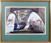 C. ROBERT PERRIN WATERCOLOR ON PAPER "BO
[more like this]
-
 ROBERT BATTY. HANOVERIAN AND SAXON SCENE
[more like this]
-
 10 PCS 19TH C. TN EPHEMERA, INCL. GOVERN
[more like this]
-
 TEN ECONOMICS BOOKS, FIVE SIGNED BY ROBE
[more like this]
-
 § ROBERT ADAMS (BRITISH 1917-1984)
SPHER
[more like this]
-
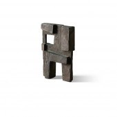 § ROBERT ADAMS (BRITISH 1917-1984)
RECTA
[more like this]
-
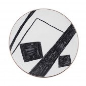 § ROBERT ADAMS (BRITISH 1917-1984)
PLATE
[more like this]
-
 § ROBERT ADAMS (BRITISH 1917-1984)
MAQUE
[more like this]
-
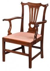 RARE VIRGINIA CHIPPENDALE WALNUT ARMCHAI
[more like this]
-
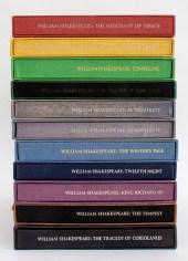 SET OF SHAKESPEARE BOOKS, 11 Group Lot o
[more like this]
-
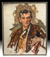 WILLIAM DRAPER PORTRAIT OF LEONARD BERNS
[more like this]
-
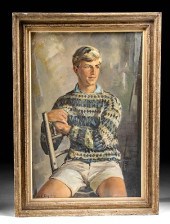 EXHIBITED 1962 W. DRAPER PORTRAIT OF SON
[more like this]
-
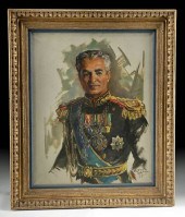 WILLIAM DRAPER PORTRAIT - SHAH OF IRAN (
[more like this]
-
 Archive of Documents Associated with the
[more like this]
-
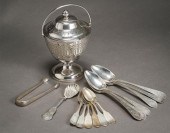 AMERICAN SILVER COVERED GLASS LINED PRES
[more like this]
-
 C. ROBERT PERRIN WATERCOLOR ON PAPER "SE
[more like this]
This list is limited to only a few results.
Many more items are available to our members in our
Price Guide!


