Pricing Guides & Dictionary of Makers Marks for Antiques & Collectibles
Appraise and find values for
2 EARLY MAPS TO INCLUDE "STATE OF...
From
marks4antiques.com
- The most updated price guide and makers' marks research online
As a member, you have access to a team of experts
and assistance is always available to you for free
An example from the millions of items in our Price Guide:
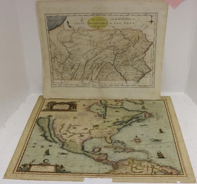
2 EARLY MAPS TO INCLUDE "STATE OF PENNSYLVANIA,1796 FROM THE LATEST SURVEYS" PUBLISHED BY JOHN REID, NEW YORK. ENGRAVING WITH HAND COLORING, AFTER A MAP...
This is an example from our
values4antiques price guide
We do not buy or sell any items
See more price guides
Check our other research services:
IDENTIFY WORLDWIDE MAKERS' MARKS & HALLMARKS
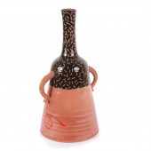
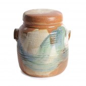
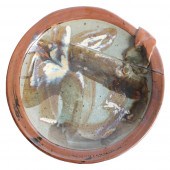
marks4ceramics:
Porcelain, Pottery, Chinaware, Figurines, Dolls, Vases...
marks4silver
:
Silver, Jewelry, Pewter, Silverplate, Copper & Bronze...
Explore other items from our
Antiques & Collectibles Price Guide
-
 A Very Large Collection of Maps, 19th/e
[more like this]
A Very Large Collection of Maps, 19th/e
[more like this]
-
 7 EARLY TENNESSEE GEOLOGICAL REPORTS, IN
[more like this]
7 EARLY TENNESSEE GEOLOGICAL REPORTS, IN
[more like this]
-
 A RARE ANTIQUE CIVIL WAR ERA MAP, "PRESS
[more like this]
A RARE ANTIQUE CIVIL WAR ERA MAP, "PRESS
[more like this]
-
 AN ANTIQUE MAP, "CARTE DES VARIATIONS DE
[more like this]
AN ANTIQUE MAP, "CARTE DES VARIATIONS DE
[more like this]
-
 (5) TEXAS MAPS, 1850'S<br>(lot of 5
[more like this]
(5) TEXAS MAPS, 1850'S<br>(lot of 5
[more like this]
-
 Joseph Hubert Diss Debar Sketchbook Jose
[more like this]
Joseph Hubert Diss Debar Sketchbook Jose
[more like this]
-
 2 FRAMED 18TH C. FADEN MAPS - GREECE & D
[more like this]
2 FRAMED 18TH C. FADEN MAPS - GREECE & D
[more like this]
-
 HENRY MOUZON - MAP OF NORTH AND SOUTH CA
[more like this]
HENRY MOUZON - MAP OF NORTH AND SOUTH CA
[more like this]
-
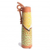
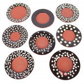
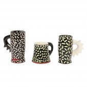
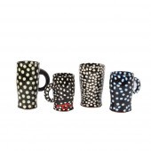
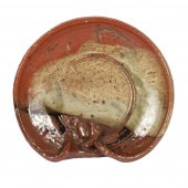
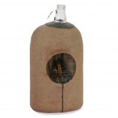
 RICHARD "DICK" HAY, INDIANA (1942-2020),
[more like this]
RICHARD "DICK" HAY, INDIANA (1942-2020),
[more like this]
-
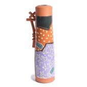
 RICHARD "DICK" HAY, INDIANA (1942-2020),
[more like this]
RICHARD "DICK" HAY, INDIANA (1942-2020),
[more like this]
-
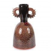
 RICHARD "DICK" HAY, INDIANA (1942-2020),
[more like this]
RICHARD "DICK" HAY, INDIANA (1942-2020),
[more like this]
-
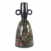
 RICHARD "DICK" HAY, INDIANA (1942-2020),
[more like this]
RICHARD "DICK" HAY, INDIANA (1942-2020),
[more like this]
-
 RICHARD "DICK" HAY, INDIANA (1942-2020),
[more like this]
RICHARD "DICK" HAY, INDIANA (1942-2020),
[more like this]
-
 RICHARD "DICK" HAY, INDIANA (1942-2020),
[more like this]
RICHARD "DICK" HAY, INDIANA (1942-2020),
[more like this]
-
 RICHARD "DICK" HAY, INDIANA (1942-2020),
[more like this]
RICHARD "DICK" HAY, INDIANA (1942-2020),
[more like this]
-
 RICHARD "DICK HAY, INDIANA (1942-2020),
[more like this]
RICHARD "DICK HAY, INDIANA (1942-2020),
[more like this]
-
 RICHARD "DICK" HAY, INDIANA (1942-2020),
[more like this]
RICHARD "DICK" HAY, INDIANA (1942-2020),
[more like this]
-
 RICHARD "DICK" HAY, INDIANA (1942-2020),
[more like this]
RICHARD "DICK" HAY, INDIANA (1942-2020),
[more like this]
-
 RICHARD "DICK" HAY, INDIANA (1942-2020),
[more like this]
RICHARD "DICK" HAY, INDIANA (1942-2020),
[more like this]
-
 RICHARD "DICK" HAY, INDIANA (1942-2020),
[more like this]
RICHARD "DICK" HAY, INDIANA (1942-2020),
[more like this]
-
 RICHARD "DICK" HAY, INDIANA (1942-2020),
[more like this]
RICHARD "DICK" HAY, INDIANA (1942-2020),
[more like this]
-
 RICHARD "DICK" HAY, INDIANA (1942-2020),
[more like this]
RICHARD "DICK" HAY, INDIANA (1942-2020),
[more like this]
-
 RICHARD "DICK" HAY, INDIANA (1942-2020),
[more like this]
RICHARD "DICK" HAY, INDIANA (1942-2020),
[more like this]
-
 RICHARD "DICK" HAY, INDIANA (1942-2020),
[more like this]
RICHARD "DICK" HAY, INDIANA (1942-2020),
[more like this]
-
 RICHARD "DICK" HAY, INDIANA (1942-2008),
[more like this]
RICHARD "DICK" HAY, INDIANA (1942-2008),
[more like this]
-
 RICHARD "DICK" HAY, INDIANA (1942-2020),
[more like this]
RICHARD "DICK" HAY, INDIANA (1942-2020),
[more like this]
-
 RICHARD "DICK" HAY, INDIANA (1942-2020),
[more like this]
RICHARD "DICK" HAY, INDIANA (1942-2020),
[more like this]
-
 RICHARD "DICK" HAY, INDIANA (1942-2020),
[more like this]
RICHARD "DICK" HAY, INDIANA (1942-2020),
[more like this]
-
 RICHARD "DICK" HAY, INDIANA (1942-2020),
[more like this]
RICHARD "DICK" HAY, INDIANA (1942-2020),
[more like this]
-
 RICHARD "DICK" HAY, INDIANA (1942-2020),
[more like this]
RICHARD "DICK" HAY, INDIANA (1942-2020),
[more like this]
-
 RICHARD "DICK" HAY, INDIANA (1942-2020),
[more like this]
RICHARD "DICK" HAY, INDIANA (1942-2020),
[more like this]
-
 RICHARD "DICK" HAY, INDIANA (1942-2020),
[more like this]
RICHARD "DICK" HAY, INDIANA (1942-2020),
[more like this]
-
 RICHARD "DICK" HAY, INDIANA (1942-2020),
[more like this]
RICHARD "DICK" HAY, INDIANA (1942-2020),
[more like this]
-
 RICHARD "DICK" HAY, INDIANA (1942-2020),
[more like this]
RICHARD "DICK" HAY, INDIANA (1942-2020),
[more like this]
-
 RICHARD "DICK" HAY, INDIANA (1942-2020),
[more like this]
RICHARD "DICK" HAY, INDIANA (1942-2020),
[more like this]
-
 RICHARD "DICK" HAY, INDIANA (1942-2020),
[more like this]
RICHARD "DICK" HAY, INDIANA (1942-2020),
[more like this]
This list is limited to only a few results.
Many more items are available to our members in our
Price Guide!
Ideal research tools for Collectors, Personal Property Appraisers, Antiques & Collectibles
Dealers, Auction Houses, Museums, eBayers or
other online
sellers (Rubylane, Etsy etc) and curious minds interested in appraising & identifying collectibles

EASY. FAST. ACCURATE.
Research at its best

Our research tools include:


