Pricing Guides & Dictionary of Makers Marks for Antiques & Collectibles

Appraise and find values for
An atlas of Britain dated 1951 a...
From
marks4antiques.com
- The most updated price guide and makers' marks research online
As a member, you have access to a team of experts
and assistance is always available to you for free
An example from the millions of items in our Price Guide:
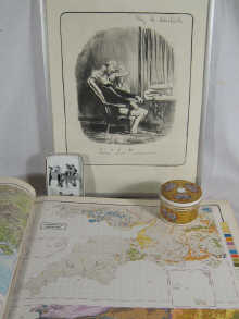
An atlas of Britain dated 1951 a Chagalle circus print and two humorous prints a Minton covered ceramic pot 7.5 cm diameter x 5.5 cm high and a ceramic pin...
This is an example from our
values4antiques price guide
We do not buy or sell any items
See more price guides
Check our other research services:
IDENTIFY WORLDWIDE MAKERS' MARKS & HALLMARKS
marks4ceramics:
Porcelain, Pottery, Chinaware, Figurines, Dolls, Vases...
marks4silver
:
Silver, Jewelry, Pewter, Silverplate, Copper & Bronze...
Explore other items from our
Antiques & Collectibles Price Guide
-
 5 BRITISH TRAVEL POSTERS5 British poster
[more like this]
-
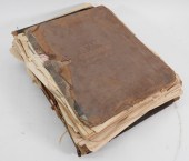 6PC ASSORTED ANTIQUE 1870'S ATLASES Unit
[more like this]
-
 [NAT FLEISCHER, JACK JOHNSON, ALEXANDER
[more like this]
-
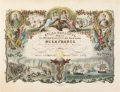 (ATLAS FRONTISPIECES) A group of four ti
[more like this]
-
 5 KENTUCKY AND TENNESSEE MAPS1st item: "
[more like this]
-
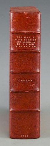 LATOUR WAR IN WEST FLORIDA LA 1814-1815,
[more like this]
-
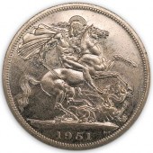 1951 GREAT BRITAIN CROWN (RAW)DESCRIPTIO
[more like this]
-
 (8) Laura Ashley vintage garments to inc
[more like this]
-
 HARVEY DINNERSTEIN, (AMERICAN, B. 1928),
[more like this]
-
 JOHN GOULD (GREENLAND GYRFALCON) FALCO C
[more like this]
-
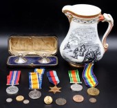 MILITARIA. ENGLISH WAR MEDALS AND GOLD B
[more like this]
-
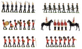 TOYS: BRITAIN'S LTD. TOY SOLDIERS, ENGLA
[more like this]
-
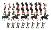 TOYS: BRITAIN'S LTD. TOY SOLDIERS, ENGLA
[more like this]
-
 TOYS: BRITAIN'S LTD. TOY SOLDIERS, FORTY
[more like this]
-
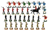 TOYS: BRITAIN'S LTD. TOY SOLDIERS, THIRT
[more like this]
-
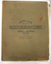 4 vols. (Philadelphia Property Atlases)
[more like this]
-
 4 vols. (Pennsylvania Property Atlases
[more like this]
-
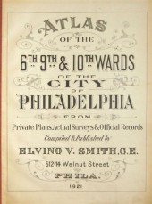 4 vols. Philadelphia Ward Atlases. Elvi
[more like this]
-
 Three 19th century maps of Georgia: &quo
[more like this]
-
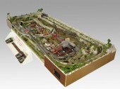 COMPLETE SET UP OF N GAUGE TRAINS & TOWN
[more like this]
-
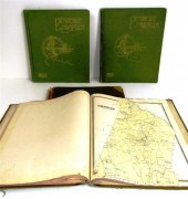 ''Atlas of Hampden County Massachusetts
[more like this]
-
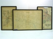 Three atlas maps featuring Rhode Island:
[more like this]
-
 Atlas and Cyclopedia of Butler County Oh
[more like this]
-
 4PC CRAM & RAND MCNALLY WORLD ATLASES ,1
[more like this]
-
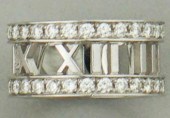 TIFFANY & CO. ATLAS 18K WHITE GOLD AND D
[more like this]
-
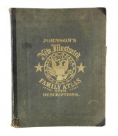 BOOK: JOHNSON'S NEW ILLUSTRATED FAMILY A
[more like this]
-
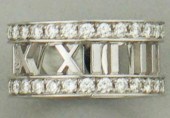 TIFFANY & CO. ATLAS 18K WHITE GOLD AND D
[more like this]
-
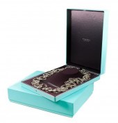 TIFFANY & CO ATLAS ROMAN NUMERAL NECKLAC
[more like this]
-
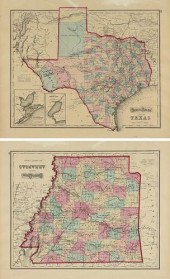 AN ANTIQUE TWO SIDED MAP, "GRAY'S ATLAS
[more like this]
-
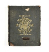 A CIVIL WAR ERA ATLAS, "JOHNSON'S NEW IL
[more like this]
-
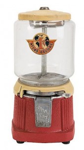 ATLAS MFG. AND SALES CO. 1 CENT ATLAS DE
[more like this]
-
 IMPORTANT ANTIQUE ATLAS DU VOYAGE DE LA
[more like this]
-
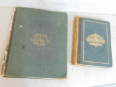 2 BOOKS. ATLAS OF COLUMBIA COUNTY & HIST
[more like this]
-
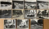 EARLY 1950’S CA 8 X 10 EVENT PHOTOS - EL
[more like this]
-
 A GROUP OF NINE UNIQUE EDITION PHOTOGRAP
[more like this]
-
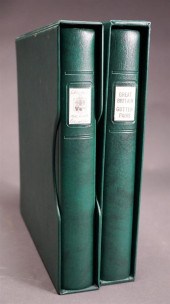 GREAT BRITAIN 'GUTTER PAIRS' STAMP ALBUM
[more like this]
This list is limited to only a few results.
Many more items are available to our members in our
Price Guide!


