Pricing Guides & Dictionary of Makers Marks for Antiques & Collectibles

Appraise and find values for
PHILIPS' IMPERIAL ATLAS OF THE...
From
marks4antiques.com
- The most updated price guide and makers' marks research online
As a member, you have access to a team of experts
and assistance is always available to you for free
An example from the millions of items in our Price Guide:
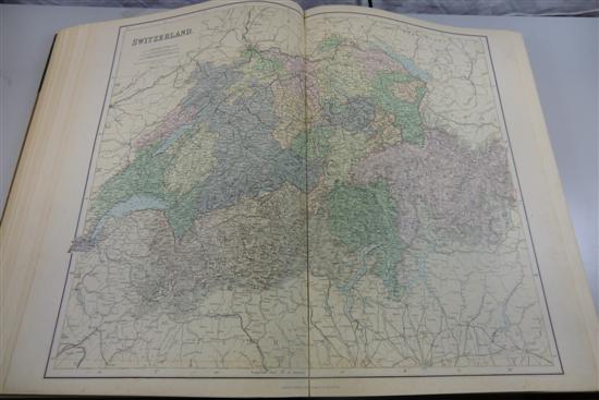
PHILIPS' IMPERIAL ATLAS OF THE WORLD complete with eighty colour maps 3/4 leather with cloth boards London Philip & Son 1890 Estimate ?150-200 Descriptions...
This is an example from our
values4antiques price guide
We do not buy or sell any items
See more price guides
Check our other research services:
IDENTIFY WORLDWIDE MAKERS' MARKS & HALLMARKS
marks4ceramics:
Porcelain, Pottery, Chinaware, Figurines, Dolls, Vases...
marks4silver
:
Silver, Jewelry, Pewter, Silverplate, Copper & Bronze...
Explore other items from our
Antiques & Collectibles Price Guide
-
 Tiffany & Co sterling presentation tray
[more like this]
-
 17TH C. CIRCLE OF WOUWERMAN PAINTING OF
[more like this]
-
 6PC ASSORTED ANTIQUE 1870'S ATLASES Unit
[more like this]
-
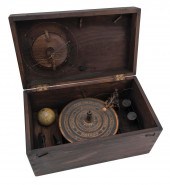 PARKES AND HADLEY’S PATENTED ORRERY MADE
[more like this]
-
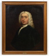 CHARLES PHILIPS, PORTRAIT OF A GENTLEMAN
[more like this]
-
 (ATLAS FRONTISPIECES) A group of four ti
[more like this]
-
 5 KENTUCKY AND TENNESSEE MAPS1st item: "
[more like this]
-
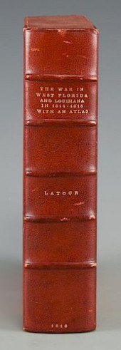 LATOUR WAR IN WEST FLORIDA LA 1814-1815,
[more like this]
-
 IMPERIAL YELLOW-GROUND SILK BROCADE 'DRA
[more like this]
-
 JAPANESE IMPERIAL CLOTHING, THREE VOLUME
[more like this]
-
 5 ANTIQUE ENGLISH BRASS IMPERIAL MEASURE
[more like this]
-
 4 vols. (Philadelphia Property Atlases)
[more like this]
-
 4 vols. (Pennsylvania Property Atlases
[more like this]
-
 4 vols. Philadelphia Ward Atlases. Elvi
[more like this]
-
 Three 19th century maps of Georgia: &quo
[more like this]
-
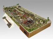 COMPLETE SET UP OF N GAUGE TRAINS & TOWN
[more like this]
-
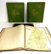 ''Atlas of Hampden County Massachusetts
[more like this]
-
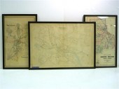 Three atlas maps featuring Rhode Island:
[more like this]
-
 Atlas and Cyclopedia of Butler County Oh
[more like this]
-
 4PC CRAM & RAND MCNALLY WORLD ATLASES ,1
[more like this]
-
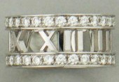 TIFFANY & CO. ATLAS 18K WHITE GOLD AND D
[more like this]
-
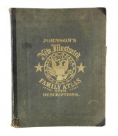 BOOK: JOHNSON'S NEW ILLUSTRATED FAMILY A
[more like this]
-
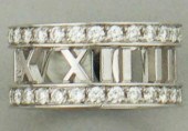 TIFFANY & CO. ATLAS 18K WHITE GOLD AND D
[more like this]
-
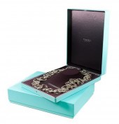 TIFFANY & CO ATLAS ROMAN NUMERAL NECKLAC
[more like this]
-
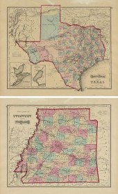 AN ANTIQUE TWO SIDED MAP, "GRAY'S ATLAS
[more like this]
-
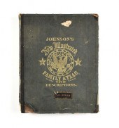 A CIVIL WAR ERA ATLAS, "JOHNSON'S NEW IL
[more like this]
-
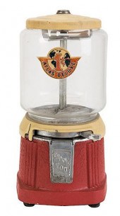 ATLAS MFG. AND SALES CO. 1 CENT ATLAS DE
[more like this]
-
 IMPORTANT ANTIQUE ATLAS DU VOYAGE DE LA
[more like this]
-
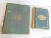 2 BOOKS. ATLAS OF COLUMBIA COUNTY & HIST
[more like this]
-
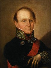 RUSSIAN SCHOOL (18th-19th century) POR
[more like this]
-
 COLLECTION OF RUSSIAN IMPERIAL DECORATIO
[more like this]
-
 PAIR OF CUPS FROM ALEXANDER II SERVICE,
[more like this]
-
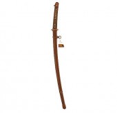 JAPANESE SWORD WITH IMPERIAL MONAn outst
[more like this]
-
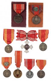 JAPAN. A COLLECTION OF IMPERIAL RED CROS
[more like this]
-
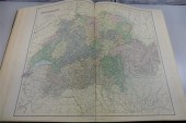 PHILIPS' IMPERIAL ATLAS OF THE WORLD com
[more like this]
-
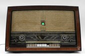 BI-AMPLI PHILIPS AM/FM MODERN VENEER RAD
[more like this]
This list is limited to only a few results.
Many more items are available to our members in our
Price Guide!


