Pricing Guides & Dictionary of Makers Marks for Antiques & Collectibles

Appraise and find values for
Pausanius. Graeciae Descriptio, 4...
From
marks4antiques.com
- The most updated price guide and makers' marks research online
As a member, you have access to a team of experts
and assistance is always available to you for free
An example from the millions of items in our Price Guide:
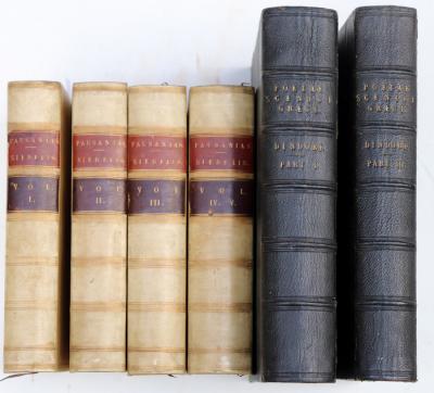
Pausanius. Graeciae Descriptio, 4 vols, 8vo., vellum, Leipsig Riemer 1822 and 2 others...
This is an example from our
values4antiques price guide
We do not buy or sell any items
See more price guides
Check our other research services:
IDENTIFY WORLDWIDE MAKERS' MARKS & HALLMARKS
marks4ceramics:
Porcelain, Pottery, Chinaware, Figurines, Dolls, Vases...
marks4silver
:
Silver, Jewelry, Pewter, Silverplate, Copper & Bronze...
Explore other items from our
Antiques & Collectibles Price Guide
-
 Pausanius. Graeciae Descriptio, 4 vols,
[more like this]
-
 16TH / 18TH C. EUROPEAN MAPS OF NEW SPAI
[more like this]
-
 DE WIT - SIX MAPS OF EUROPE AND ASIAFred
[more like this]
-
 Map of the Southeast After John White 17
[more like this]
-
 MAP: MAP OF IRELAND, 16TH C., BY ABRAHAM
[more like this]
-
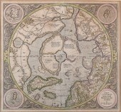 GERARD MERCATOR, FLEMISH 1512-1594, SEPT
[more like this]
-
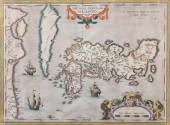 ABRAHAM ORTELIUS, FLEMISH 1527-1598, JAP
[more like this]
-
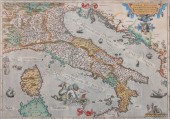 ABRAHAM ORTELIUS, FLEMISH 1527-1598, ITA
[more like this]
-
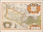 ABRAHAM ORTELIUS, FLEMISH 1527-1598, MAP
[more like this]
-
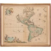 FREDERICK DE WIT, TOTIUS AMERICAE DESCRI
[more like this]
-
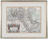 ORTELIUS - TURCICI IMPERII DESCRIPTIO...
[more like this]
-
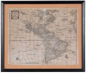 CHETWIND - AMERICAE DESCRIPTIO NOVA, MAP
[more like this]
-
 DE WIT - THREE MAPS OF EUROPE, BRITISH I
[more like this]
-
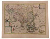 HONDIUS - ASIAE NOVA DESCRIPTIO, MAPJodo
[more like this]
-
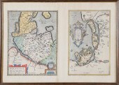 HOLSATIAE DESCRIPTIO. MARCO IORDANO HOLS
[more like this]
-
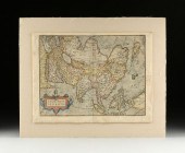 A RENAISSANCE MAP, "ASIæ NOVA DESCRIPTIO
[more like this]
-
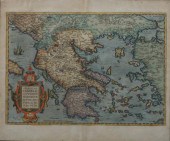 ORTELIUS. GRAECIAE UNIVERSAE SECUNDUM HO
[more like this]
-
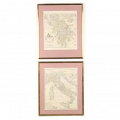 TWO D'ANVILLE MAPS OF CLASSICAL LANDS As
[more like this]
-
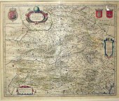 1 piece. Partly Hand-Colored Engraved M
[more like this]
-
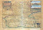 7 pieces. Engraved Maps & C - Netherlan
[more like this]
-
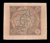 1 piece. Hand-Colored Engraved Map. Mer
[more like this]
-
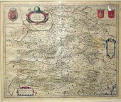 1 piece. Partly Hand-Colored Engraved M
[more like this]
-
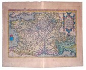 1 piece. Hand-Colored Engraved Map. (Or
[more like this]
-
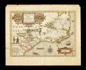 1 piece. Hand-Colored Engraved Map. (Ho
[more like this]
-
 Three 17th century European maps: two Fr
[more like this]
-
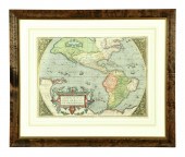 EARLY MAP OF THE AMERICAS. Abraham Orte
[more like this]
-
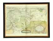 EARLY MAP OF FRIESLAND. ''Utriusque Fri
[more like this]
-
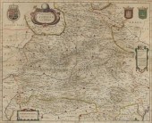 Willem Janszoon Blaeu (Dutch 1571-1638)
[more like this]
-
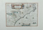 Rare early map: Southeastern United Stat
[more like this]
-
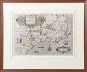 Rare Mercator-Hondius map of the Southea
[more like this]
-
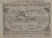 JODOCUS HONDIUS (1563-1612) DESCRIPTIO O
[more like this]
-
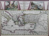 ABRAHAM ORTELIUS ENGRAVED BY PETER VAN D
[more like this]
-
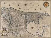 (MAP) JANSSON JAN [Comitatus Hollandiae
[more like this]
-
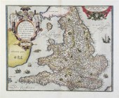 (MAP) ORTELIUS ABRAHAM Anglia Regni Flor
[more like this]
-
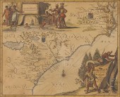 Arnoldus Montanus Map of Southeastern Co
[more like this]
-
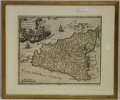 FRAMES AND GLAZED EARLY MAP OF SICILY, P
[more like this]
This list is limited to only a few results.
Many more items are available to our members in our
Price Guide!


