Pricing Guides & Dictionary of Makers Marks for Antiques & Collectibles

Appraise and find values for
Rare book: Robert Mills' 1825 Atlas...
From
marks4antiques.com
- The most updated price guide and makers' marks research online
As a member, you have access to a team of experts
and assistance is always available to you for free
An example from the millions of items in our Price Guide:
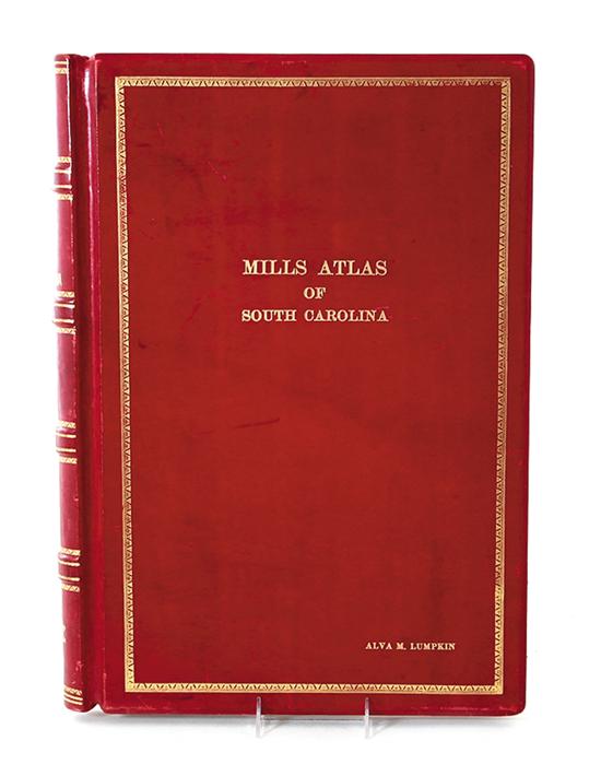
Rare book: Robert Mills' 1825 Atlas of South Carolina Mills Robert. ATLAS OF THE STATE OF SOUTH CAROLINA. Baltimore: John. D. Troy 1825. Contains...
This is an example from our
values4antiques price guide
We do not buy or sell any items
See more price guides
Check our other research services:
IDENTIFY WORLDWIDE MAKERS' MARKS & HALLMARKS
marks4ceramics:
Porcelain, Pottery, Chinaware, Figurines, Dolls, Vases...
marks4silver
:
Silver, Jewelry, Pewter, Silverplate, Copper & Bronze...
Explore other items from our
Antiques & Collectibles Price Guide
-
 Reprinted Atlases of the State of South
[more like this]
-
 Rare book: Robert Mills' 1825 Atlas of S
[more like this]
-
 TEN BOOKS/MAGAZINES RELATING TO ROBERT W
[more like this]
-
 LARGE GROUPING OF US COIN COLLECTION SET
[more like this]
-
 Maps from Robert Mills' 1825 Atlas of So
[more like this]
-
 ROBERT MILLS ALS TO MR. PROFFIT, MARCH 2
[more like this]
-
 6PC ASSORTED ANTIQUE 1870'S ATLASES Unit
[more like this]
-
 Rare book: Robert Mills' 1838 Atlas of S
[more like this]
-
 MILLS ATLAS OF SOUTH CAROLINA 1938 REPRI
[more like this]
-
 (10) BOOKS & MAGAZINE ON ARTIST ROBERT I
[more like this]
-
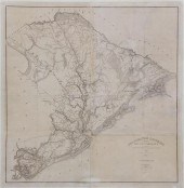 Robert Mills' 1825 map of Charleston fro
[more like this]
-
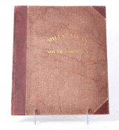 Mills's Atlas of South Carolina and Caro
[more like this]
-
 16 SARTORIAL AND SOCIETY HARDCOVER VOLUM
[more like this]
-
 (ATLAS FRONTISPIECES) A group of four ti
[more like this]
-
 5 KENTUCKY AND TENNESSEE MAPS1st item: "
[more like this]
-
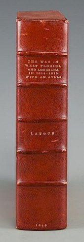 LATOUR WAR IN WEST FLORIDA LA 1814-1815,
[more like this]
-
 RIX MILLS REMEMBERED: SIXTH GRADE SPELLD
[more like this]
-
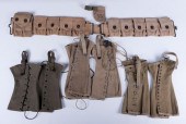 U.S. MILITARY CONTRIVANCES, EIGHT (8)Mil
[more like this]
-
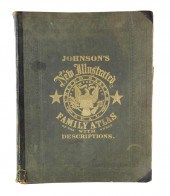 BOOK: JOHNSON'S NEW ILLUSTRATED FAMILY A
[more like this]
-
 ANDY WARHOL (american 1928-1987) '25 C
[more like this]
-
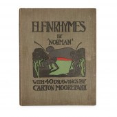 CHARLES RENNIE MACKINTOSH AND MARGARET M
[more like this]
-
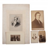 Breckinridge Family Archive Approx. 165
[more like this]
-
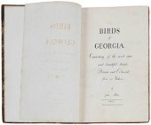 RARE BOUND VOLUME OF JOHN ABBOT WATERCOL
[more like this]
-
 IMPORTANT ANTIQUE ATLAS DU VOYAGE DE LA
[more like this]
-
 A late 17th century hand written apothec
[more like this]
-
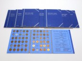 10PC AMERICAN COIN COLLECTING BOOKS W/ C
[more like this]
-
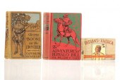 DANIEL BOONE, BUFFALO BILL & INDIANS BOO
[more like this]
-
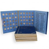 U.S. COIN COLLECTION LOTDESCRIPTION: A U
[more like this]
-
 TEN ECONOMICS BOOKS, FIVE SIGNED BY ROBE
[more like this]
-
 C. ROBERT PERRIN WATERCOLOR ON PAPER "VI
[more like this]
-
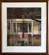 C. ROBERT PERRIN WATERCOLOR ON PAPER "ZE
[more like this]
-
 C. ROBERT PERRIN WATERCOLOR ON PAPER "SN
[more like this]
-
 C. ROBERT PERRIN WATERCOLOR ON PAPER "BO
[more like this]
-
 C. ROBERT PERRIN WATERCOLOR ON PAPER "BO
[more like this]
-
 C. ROBERT PERRIN WATERCOLOR ON PAPER "BU
[more like this]
-
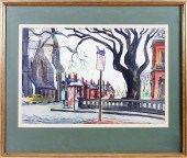 C. ROBERT PERRIN WATERCOLOR ON PAPER "WI
[more like this]
This list is limited to only a few results.
Many more items are available to our members in our
Price Guide!


