Pricing Guides & Dictionary of Makers Marks for Antiques & Collectibles

Appraise and find values for
WILLEM BLAEU, DUTCH 1571-1638,...
From
marks4antiques.com
- The most updated price guide and makers' marks research online
As a member, you have access to a team of experts
and assistance is always available to you for free
An example from the millions of items in our Price Guide:
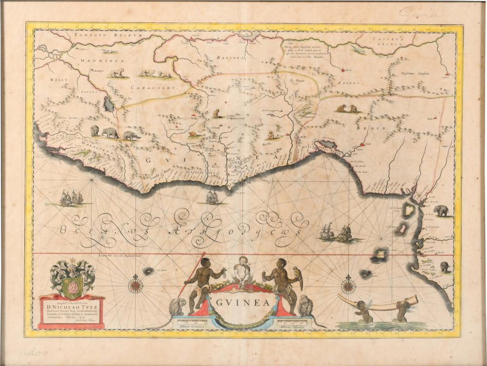
WILLEM BLAEU, DUTCH 1571-1638, MAP OF GUINEA, 1643, HAND COLORED ENGRAVING, FRAME 19 X 24 1/2 X 24 1/2 IN. (48.3 X 62.2 X 62.2 CM.)WILLEM BLAEU, DUTCH,...
This is an example from our
values4antiques price guide
We do not buy or sell any items
See more price guides
Check our other research services:
IDENTIFY WORLDWIDE MAKERS' MARKS & HALLMARKS
marks4ceramics:
Porcelain, Pottery, Chinaware, Figurines, Dolls, Vases...
marks4silver
:
Silver, Jewelry, Pewter, Silverplate, Copper & Bronze...
Explore other items from our
Antiques & Collectibles Price Guide
-
 BLAEU, LE ROUGE - THREE MAPS OF FRANCE,
[more like this]
-
 GRP: 5 MAPS OF BRAZIL BLAEU BELLIN KITCH
[more like this]
-
 17TH C. DUTCH MAP - REGNO DI NAPOLI - BY
[more like this]
-
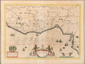 WILLEM BLAEU, DUTCH 1571-1638, MAP OF GU
[more like this]
-
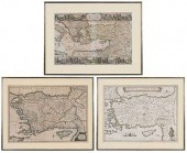 BLAEU, MORTIER, VISSCHER - THREE MAPS OF
[more like this]
-
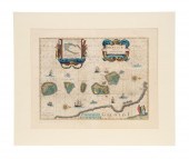 WILLEM BLAEU HAND COLORED MAP "SPICE ISL
[more like this]
-
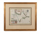 AFTER WILLEM BLAEU STRAITS OF MAGELLAN E
[more like this]
-
 HONDIUS AND BLAEU - TWO FRENCH REGIONAL
[more like this]
-
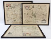 3PC ANTIQUE MAPS OF GERMANY Netherlands,
[more like this]
-
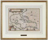 WILLEM JANSZOON BLAEU - 17TH CENTURY MAP
[more like this]
-
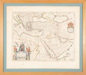 WILLEM AND JOAN BLAEU MAPWillem and Joan
[more like this]
-
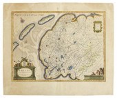 BLAEU ENGRAVING MAP OF THE NETHERLANDS,
[more like this]
-
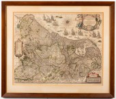 BLAEU "INFERIORIS GERMANIAE" ANTIQUE ENG
[more like this]
-
 BLAEU - TWO FRAMED FRENCH REGIONAL MAPSW
[more like this]
-
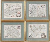 BLAEU - FOUR FRENCH REGIONAL MAPSWillem
[more like this]
-
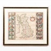 WILLEM BLAEU, MAP OF GREAT BRITAIN, FRAM
[more like this]
-
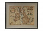 1631 BLAEU MAP OF THE BRITISH ISLES, FRA
[more like this]
-
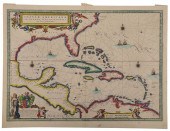 BLAEU - INSULAE AMERICANAE IN OCEANO SEP
[more like this]
-
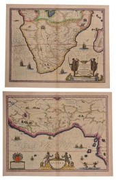 BLAEU AND JANSSON - TWO MAPS OF ETHIOPIA
[more like this]
-
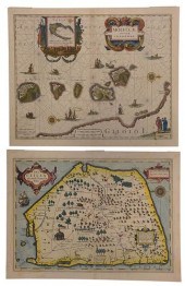 HONDIUS AND BLAEU - TWO MAPS OF SOUTHEAS
[more like this]
-
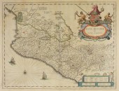 17C. WILLEM BLAEU MAP OF MEXICO Netherla
[more like this]
-
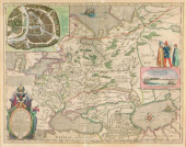 MAP: BLAEU, WILLEM & JOAN. "TABULA RUSSI
[more like this]
-
 BLAEU - TWO FRAMED FRENCH REGIONAL MAPSW
[more like this]
-
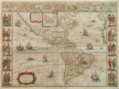 WILEM J. BLAEU MAPWilem J. Blaeu (Dutch
[more like this]
-
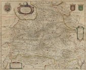 Willem Janszoon Blaeu (Dutch 1571-1638)
[more like this]
-
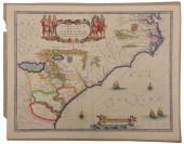 BLAEU - VIRGINIAE PARTIS AUSTRALIS, ET F
[more like this]
-
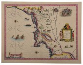 BLAEU - NOVA BELGICA ET ANGLIA NOVA, MAP
[more like this]
-
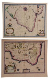 BLAEU - TWO MAPS OF BRAZILWillem Janszoo
[more like this]
-
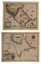 BLAEU - TWO MAPS OF SOUTH AMERICAWillem
[more like this]
-
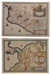 BLAEU - TWO MAPS OF CENTRAL AND SOUTH AM
[more like this]
-
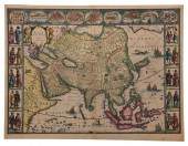 BLAEU - ASIA NOVITER DELINEATA, MAPWille
[more like this]
-
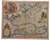 BLAEU - TABULA RUSSIAE EX AUTOGRAPHO...,
[more like this]
-
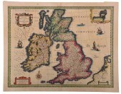 BLAEU - MAGNAE BRITANNIAE ET HIBERNIAE T
[more like this]
-
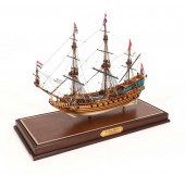 CASED MODEL OF "DE PRINS WILLEM", FLAGSH
[more like this]
-
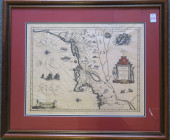 ENGRAVING OF DUTCH MAP, NOVA BELJICA OR
[more like this]
-
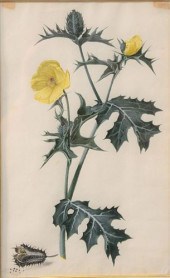 WILLEM DE HEER (1638 - 1681) "THE THORNY
[more like this]
This list is limited to only a few results.
Many more items are available to our members in our
Price Guide!


