Pricing Guides & Dictionary of Makers Marks for Antiques & Collectibles
Appraise and find values for
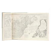
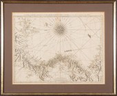
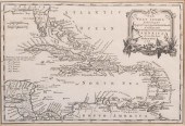
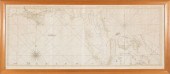
[ATLAS] KITCHIN, THOMAS & JEFFERYS,...
From
marks4antiques.com
- The most updated price guide and makers' marks research online
As a member, you have access to a team of experts
and assistance is always available to you for free
An example from the millions of items in our Price Guide:
![[ATLAS] KITCHIN, THOMAS & JEFFERYS,](/images/atlas-kitchin-thomas-jefferys--6a0e5-full.jpg)
[ATLAS] KITCHIN, THOMAS & JEFFERYS, THOMAS. The Small English Atlas<br />
Estimate:$1,500-$2,500...
This is an example from our
values4antiques price guide
We do not buy or sell any items
See more price guides
Check our other research services:
IDENTIFY WORLDWIDE MAKERS' MARKS & HALLMARKS
marks4ceramics:
Porcelain, Pottery, Chinaware, Figurines, Dolls, Vases...
marks4silver
:
Silver, Jewelry, Pewter, Silverplate, Copper & Bronze...
Explore other items from our
Antiques & Collectibles Price Guide
-
 FACSIMILE OF JEFFERYS'S IMPORTANT REVOLU
[more like this]
FACSIMILE OF JEFFERYS'S IMPORTANT REVOLU
[more like this]
-
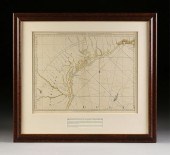 AN ANTIQUE MAP, "THE WESTERN COAST OF LO
[more like this]
AN ANTIQUE MAP, "THE WESTERN COAST OF LO
[more like this]
-
 GEORGE SMITH; EDWARD CAVE; AND THOMAS JE
[more like this]
GEORGE SMITH; EDWARD CAVE; AND THOMAS JE
[more like this]
-
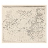
![[ATLAS] KITCHIN, THOMAS & JEFF](/images/atlas-kitchin-thomas-jefferys--6a0e5-medium.jpg) [ATLAS] KITCHIN, THOMAS & JEFFERYS, THOM
[more like this]
[ATLAS] KITCHIN, THOMAS & JEFFERYS, THOM
[more like this]
-
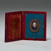 Thomas Jefferson Miniature Portrait by W
[more like this]
Thomas Jefferson Miniature Portrait by W
[more like this]
-
 THOMAS JEFFERYS (ENGLISH, 1719-1771)Thom
[more like this]
THOMAS JEFFERYS (ENGLISH, 1719-1771)Thom
[more like this]
-
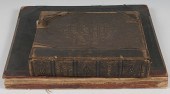
 6PC ASSORTED ANTIQUE 1870'S ATLASES Unit
[more like this]
6PC ASSORTED ANTIQUE 1870'S ATLASES Unit
[more like this]
-
 5 KENTUCKY AND TENNESSEE MAPS1st item: "
[more like this]
5 KENTUCKY AND TENNESSEE MAPS1st item: "
[more like this]
-
 Braddock Mead (British 1688-1757) and Th
[more like this]
Braddock Mead (British 1688-1757) and Th
[more like this]
-
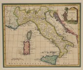 EARLY HAND COLORED MAP OF ITALY BY THOMA
[more like this]
EARLY HAND COLORED MAP OF ITALY BY THOMA
[more like this]
-
 THOMAS JEFFERYS, BRITISH 1719-1771, THE
[more like this]
THOMAS JEFFERYS, BRITISH 1719-1771, THE
[more like this]
-
 THOMAS JEFFERYS, CARIBBEAN, CENTRAL AMER
[more like this]
THOMAS JEFFERYS, CARIBBEAN, CENTRAL AMER
[more like this]
-
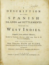 1 vol. Jefferys, Thomas. A Description
[more like this]
1 vol. Jefferys, Thomas. A Description
[more like this]
-
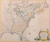
 THOMAS KITCHIN A NEW MAP OF THE BRITISH
[more like this]
THOMAS KITCHIN A NEW MAP OF THE BRITISH
[more like this]
-
 THOMAS JEFFERYS (ENGLISH, 1719-1717) MAP
[more like this]
THOMAS JEFFERYS (ENGLISH, 1719-1717) MAP
[more like this]
-
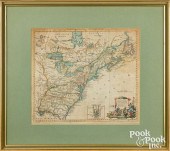
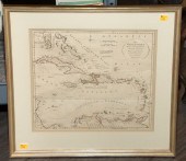 T. KITCHIN, "WEST INDIES," FRAMED MAP Th
[more like this]
T. KITCHIN, "WEST INDIES," FRAMED MAP Th
[more like this]
-
 THOMAS KITCHIN, BRITISH 1718-1784, A NEW
[more like this]
THOMAS KITCHIN, BRITISH 1718-1784, A NEW
[more like this]
-
 KITCHIN, MAP OF NORTH AMERICA, 1787MAP O
[more like this]
KITCHIN, MAP OF NORTH AMERICA, 1787MAP O
[more like this]
-
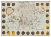
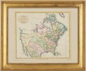
 DE VAUGONDY MAP OF NORTHWESTERN NORTH AM
[more like this]
DE VAUGONDY MAP OF NORTHWESTERN NORTH AM
[more like this]
-
 (ATLAS FRONTISPIECES) A group of four ti
[more like this]
(ATLAS FRONTISPIECES) A group of four ti
[more like this]
-
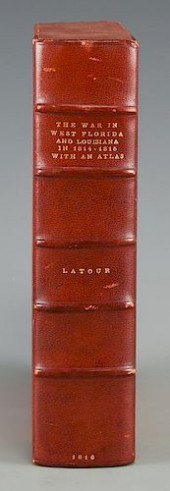 LATOUR WAR IN WEST FLORIDA LA 1814-1815,
[more like this]
LATOUR WAR IN WEST FLORIDA LA 1814-1815,
[more like this]
-
 Three Maps of the Southeastern United St
[more like this]
Three Maps of the Southeastern United St
[more like this]
-
 ARCHIVE OF SIGNED PORTRAITS, DOCUMENTSea
[more like this]
ARCHIVE OF SIGNED PORTRAITS, DOCUMENTSea
[more like this]
-
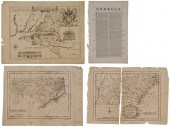
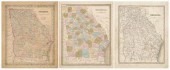 Three 19th century maps of Georgia: &quo
[more like this]
Three 19th century maps of Georgia: &quo
[more like this]
-
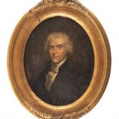 American or French School, 19th Century
[more like this]
American or French School, 19th Century
[more like this]
-
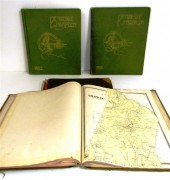
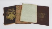
 4 vols. (Philadelphia Property Atlases)
[more like this]
4 vols. (Philadelphia Property Atlases)
[more like this]
-
 4 vols. (Pennsylvania Property Atlases
[more like this]
4 vols. (Pennsylvania Property Atlases
[more like this]
-
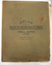
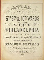 4 vols. Philadelphia Ward Atlases. Elvi
[more like this]
4 vols. Philadelphia Ward Atlases. Elvi
[more like this]
-
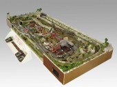 COMPLETE SET UP OF N GAUGE TRAINS & TOWN
[more like this]
COMPLETE SET UP OF N GAUGE TRAINS & TOWN
[more like this]
-
 ''Atlas of Hampden County Massachusetts
[more like this]
''Atlas of Hampden County Massachusetts
[more like this]
-
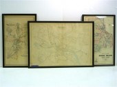 Three atlas maps featuring Rhode Island:
[more like this]
Three atlas maps featuring Rhode Island:
[more like this]
-
 Atlas and Cyclopedia of Butler County Oh
[more like this]
Atlas and Cyclopedia of Butler County Oh
[more like this]
-
 4PC CRAM & RAND MCNALLY WORLD ATLASES ,1
[more like this]
4PC CRAM & RAND MCNALLY WORLD ATLASES ,1
[more like this]
-
 TIFFANY & CO. ATLAS 18K WHITE GOLD AND D
[more like this]
TIFFANY & CO. ATLAS 18K WHITE GOLD AND D
[more like this]
-
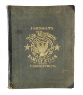 BOOK: JOHNSON'S NEW ILLUSTRATED FAMILY A
[more like this]
BOOK: JOHNSON'S NEW ILLUSTRATED FAMILY A
[more like this]
-
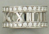 TIFFANY & CO. ATLAS 18K WHITE GOLD AND D
[more like this]
TIFFANY & CO. ATLAS 18K WHITE GOLD AND D
[more like this]
This list is limited to only a few results.
Many more items are available to our members in our
Price Guide!
Ideal research tools for Collectors, Personal Property Appraisers, Antiques & Collectibles
Dealers, Auction Houses, Museums, eBayers or
other online
sellers (Rubylane, Etsy etc) and curious minds interested in appraising & identifying collectibles

EASY. FAST. ACCURATE.
Research at its best

Our research tools include:


