Pricing Guides & Dictionary of Makers Marks for Antiques & Collectibles
Appraise and find values for
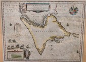
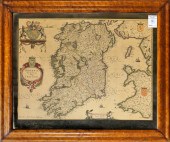
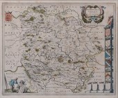
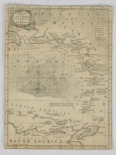
JAN BLAEU, DUTCH 1596-1673, MAP...
From
marks4antiques.com
- The most updated price guide and makers' marks research online
As a member, you have access to a team of experts
and assistance is always available to you for free
An example from the millions of items in our Price Guide:
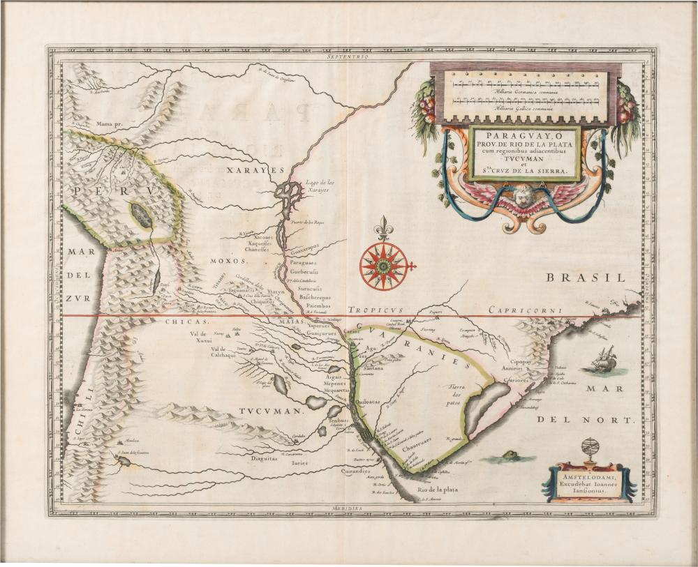
JAN BLAEU, DUTCH 1596-1673, MAP OF PARAGUAY, HAND COLORED ENGRAVING, FRAME: 19 X 23 X 23 IN. (48.3 X 58.4 X 58.4 CM.)JAN BLAEU, DUTCH, 1596-1673 MAP OF...
This is an example from our
values4antiques price guide
We do not buy or sell any items
See more price guides
Check our other research services:
IDENTIFY WORLDWIDE MAKERS' MARKS & HALLMARKS
marks4ceramics:
Porcelain, Pottery, Chinaware, Figurines, Dolls, Vases...
marks4silver
:
Silver, Jewelry, Pewter, Silverplate, Copper & Bronze...
Explore other items from our
Antiques & Collectibles Price Guide
-
 BRITANNIA, VOL. I & II CAMDEN 1722Camden
[more like this]
BRITANNIA, VOL. I & II CAMDEN 1722Camden
[more like this]
-
 A COMPLETE SYSTEM OF GEOGRAPHY, VOL. I B
[more like this]
A COMPLETE SYSTEM OF GEOGRAPHY, VOL. I B
[more like this]
-
 IMPORTANT ANTIQUE ATLAS DU VOYAGE DE LA
[more like this]
IMPORTANT ANTIQUE ATLAS DU VOYAGE DE LA
[more like this]
-
 JAN BLAEU, DUTCH 1596-1673, MAP OF PARAG
[more like this]
JAN BLAEU, DUTCH 1596-1673, MAP OF PARAG
[more like this]
-
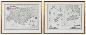
 5 KENTUCKY AND TENNESSEE MAPS1st item: "
[more like this]
5 KENTUCKY AND TENNESSEE MAPS1st item: "
[more like this]
-
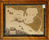
 17TH C. DUTCH MAP - REGNO DI NAPOLI - BY
[more like this]
17TH C. DUTCH MAP - REGNO DI NAPOLI - BY
[more like this]
-
 MAP: BLAEU, JOAN (1596-1673), "INSULAE A
[more like this]
MAP: BLAEU, JOAN (1596-1673), "INSULAE A
[more like this]
-
 JOAN BLAEU (DUTCH, 1596 - 1673), "TABULA
[more like this]
JOAN BLAEU (DUTCH, 1596 - 1673), "TABULA
[more like this]
-
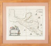 JOHANNES BLAEU (1596-1673) MAPJohannes B
[more like this]
JOHANNES BLAEU (1596-1673) MAPJohannes B
[more like this]
-
 A RARE ANTIQUE CIVIL WAR ERA MAP, "PRESS
[more like this]
A RARE ANTIQUE CIVIL WAR ERA MAP, "PRESS
[more like this]
-
 3 KY & TN MAPS: VANCE, TANNER, JOHNSON1s
[more like this]
3 KY & TN MAPS: VANCE, TANNER, JOHNSON1s
[more like this]
-
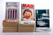 MAD & THE WITTENBURG DOOR MAGAZINE COLLE
[more like this]
MAD & THE WITTENBURG DOOR MAGAZINE COLLE
[more like this]
-
 4 TN & KY MAPS, 3 FRAMED1st item: "Tenne
[more like this]
4 TN & KY MAPS, 3 FRAMED1st item: "Tenne
[more like this]
-
 A Very Large Collection of Maps, 19th/e
[more like this]
A Very Large Collection of Maps, 19th/e
[more like this]
-
 8 TENNESSEE MILITARY & SURVEY MAPSAssort
[more like this]
8 TENNESSEE MILITARY & SURVEY MAPSAssort
[more like this]
-
 MAP, JOHANNES BLAEU Johannes Blaeu (Dutc
[more like this]
MAP, JOHANNES BLAEU Johannes Blaeu (Dutc
[more like this]
-
 MAP, JOHANNES BLAEU Johannes Blaeu (Dutc
[more like this]
MAP, JOHANNES BLAEU Johannes Blaeu (Dutc
[more like this]
-
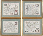
 BLAEU - TWO FRAMED FRENCH REGIONAL MAPSW
[more like this]
BLAEU - TWO FRAMED FRENCH REGIONAL MAPSW
[more like this]
-
 BLAEU - FOUR FRENCH REGIONAL MAPSWillem
[more like this]
BLAEU - FOUR FRENCH REGIONAL MAPSWillem
[more like this]
-
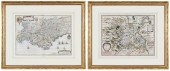 HONDIUS AND BLAEU - TWO FRENCH REGIONAL
[more like this]
HONDIUS AND BLAEU - TWO FRENCH REGIONAL
[more like this]
-
 JOAN BLAEU (NETHERLANDS, 1596-1673) MAP
[more like this]
JOAN BLAEU (NETHERLANDS, 1596-1673) MAP
[more like this]
-
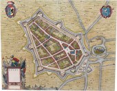
 A TOPOGRAPHICAL MAP OF THE ENVIRONS OF L
[more like this]
A TOPOGRAPHICAL MAP OF THE ENVIRONS OF L
[more like this]
-
 11 PC. MAP COLLECTION: Comprising; 1- La
[more like this]
11 PC. MAP COLLECTION: Comprising; 1- La
[more like this]
-
 16TH / 18TH C. EUROPEAN MAPS OF NEW SPAI
[more like this]
16TH / 18TH C. EUROPEAN MAPS OF NEW SPAI
[more like this]
-
 WILLEM AND JOAN BLAEU MAPWillem and Joan
[more like this]
WILLEM AND JOAN BLAEU MAPWillem and Joan
[more like this]
-
 PRINT, JOAN BLAEU Joan Blaeu (Dutch, 159
[more like this]
PRINT, JOAN BLAEU Joan Blaeu (Dutch, 159
[more like this]
-
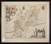
 JOAN BLAEU, DUTCH 1599-1673, HEREFORDIA
[more like this]
JOAN BLAEU, DUTCH 1599-1673, HEREFORDIA
[more like this]
-
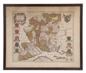
 JOAN BLAEU, DUTCH 1599-1673, GELRE, HAND
[more like this]
JOAN BLAEU, DUTCH 1599-1673, GELRE, HAND
[more like this]
-
 GRP: 5 MAPS OF BRAZIL BLAEU BELLIN KITCH
[more like this]
GRP: 5 MAPS OF BRAZIL BLAEU BELLIN KITCH
[more like this]
-
 A LATE MEXICAN-AMERICAN WAR ERA MAP, "MA
[more like this]
A LATE MEXICAN-AMERICAN WAR ERA MAP, "MA
[more like this]
-
 AN IMPORTANT REPUBLIC OF TEXAS MAP, "MAP
[more like this]
AN IMPORTANT REPUBLIC OF TEXAS MAP, "MAP
[more like this]
-
 AN ANTIQUE RECONSTRUCTION ERA MAP, "KOSS
[more like this]
AN ANTIQUE RECONSTRUCTION ERA MAP, "KOSS
[more like this]
-
 3 19TH CENT. AL, KY, & TN MAPS1st item:
[more like this]
3 19TH CENT. AL, KY, & TN MAPS1st item:
[more like this]
-
 MAP AND ATLAS LOT, 3 PCS INCL. MELISH DI
[more like this]
MAP AND ATLAS LOT, 3 PCS INCL. MELISH DI
[more like this]
-
 5 CIVIL WAR MAPSLot of five Civil War ma
[more like this]
5 CIVIL WAR MAPSLot of five Civil War ma
[more like this]
-
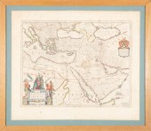
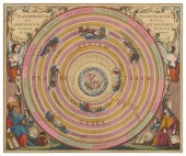 ANDREAS CELLARIUS; PETER SCHENK; GERARD
[more like this]
ANDREAS CELLARIUS; PETER SCHENK; GERARD
[more like this]
This list is limited to only a few results.
Many more items are available to our members in our
Price Guide!
Ideal research tools for Collectors, Personal Property Appraisers, Antiques & Collectibles
Dealers, Auction Houses, Museums, eBayers or
other online
sellers (Rubylane, Etsy etc) and curious minds interested in appraising & identifying collectibles

EASY. FAST. ACCURATE.
Research at its best

Our research tools include:


