Pricing Guides & Dictionary of Makers Marks for Antiques & Collectibles
Appraise and find values for
. Jewelry fabrication surveys,...
From
marks4antiques.com
- The most updated price guide and makers' marks research online
As a member, you have access to a team of experts
and assistance is always available to you for free
An example from the millions of items in our Price Guide:

. Jewelry fabrication surveys, nineteen. result: $504. estimate: $150–200. ...
This is an example from our
values4antiques price guide
We do not buy or sell any items
See more price guides
Check our other research services:
IDENTIFY WORLDWIDE MAKERS' MARKS & HALLMARKS
marks4ceramics:
Porcelain, Pottery, Chinaware, Figurines, Dolls, Vases...
marks4silver
:
Silver, Jewelry, Pewter, Silverplate, Copper & Bronze...
Explore other items from our
Antiques & Collectibles Price Guide
-
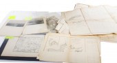
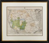
 NATIVE AMERICAN/WESTERN U.S. EXPEDITION
[more like this]
NATIVE AMERICAN/WESTERN U.S. EXPEDITION
[more like this]
-
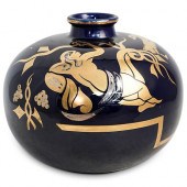 COBALT BLUE "FABRICATION FRANCAISE" PORC
[more like this]
COBALT BLUE "FABRICATION FRANCAISE" PORC
[more like this]
-
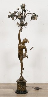 FABRICATION FRANCAISE FIGURAL SPELTER LA
[more like this]
FABRICATION FRANCAISE FIGURAL SPELTER LA
[more like this]
-
 . Jewelry fabrication surveys, nineteen.
[more like this]
. Jewelry fabrication surveys, nineteen.
[more like this]
-
 Will of Revolutionary War Hero Thomas Ke
[more like this]
Will of Revolutionary War Hero Thomas Ke
[more like this]
-
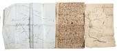
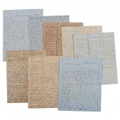 Letters Between the Sturges Brothers Mos
[more like this]
Letters Between the Sturges Brothers Mos
[more like this]
-
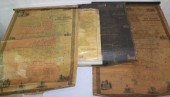 LOT OF FOUR 19TH C. CANVAS BACKED MAPS.
[more like this]
LOT OF FOUR 19TH C. CANVAS BACKED MAPS.
[more like this]
-
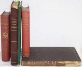 LOT OF 5 BOOKS DEALING WITH WESTERN EXPA
[more like this]
LOT OF 5 BOOKS DEALING WITH WESTERN EXPA
[more like this]
-
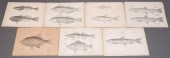 SEVEN U.S.P.R.R., EXPEDITION & SURVEYS 4
[more like this]
SEVEN U.S.P.R.R., EXPEDITION & SURVEYS 4
[more like this]
-
 LOT OF 10 HISTORICAL MAPS AND LAND SURVE
[more like this]
LOT OF 10 HISTORICAL MAPS AND LAND SURVE
[more like this]
-
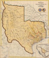
 TWO ANTIQUE ANTEBELLUM MAPS, "MAP OF TEX
[more like this]
TWO ANTIQUE ANTEBELLUM MAPS, "MAP OF TEX
[more like this]
-
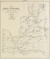 AN ANTIQUE SURVEY MAP, "MAP OF THE INDIA
[more like this]
AN ANTIQUE SURVEY MAP, "MAP OF THE INDIA
[more like this]
-
 TENNESSEE MAP CIRCA 1795"Map of the Tenn
[more like this]
TENNESSEE MAP CIRCA 1795"Map of the Tenn
[more like this]
-
 FRAMED MAP OF THE STATE OF TEXASFramed m
[more like this]
FRAMED MAP OF THE STATE OF TEXASFramed m
[more like this]
-
 1882 PROGRESS MAP OF U.S. GEOGRAPHICAL S
[more like this]
1882 PROGRESS MAP OF U.S. GEOGRAPHICAL S
[more like this]
-
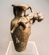 FABRICATION FRANCAISE, PARIS AFTER AUGUS
[more like this]
FABRICATION FRANCAISE, PARIS AFTER AUGUS
[more like this]
-
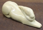 BELGIUM CERAMIC RABBIT SCULPTUREBELGIUM
[more like this]
BELGIUM CERAMIC RABBIT SCULPTUREBELGIUM
[more like this]
-
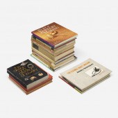
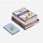
 BOOKS ON JEWELRY, 8 Group of art referen
[more like this]
BOOKS ON JEWELRY, 8 Group of art referen
[more like this]
-
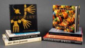 BOOKS ON JEWELRY, 8 Group of art referen
[more like this]
BOOKS ON JEWELRY, 8 Group of art referen
[more like this]
-
![[Antiques and Collectibles] Ov](/images/antiques-and-collectibles-over-150--1372b4-medium.jpg) [Antiques and Collectibles] Over 150 vol
[more like this]
[Antiques and Collectibles] Over 150 vol
[more like this]
-
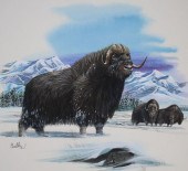 DON BALKE (B. 1933) "MUSK OX AND SITKA S
[more like this]
DON BALKE (B. 1933) "MUSK OX AND SITKA S
[more like this]
-
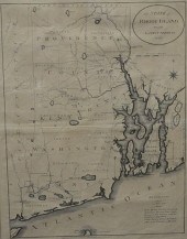 THE STATE OF RHODE ISLAND 1796 ENGRAVED
[more like this]
THE STATE OF RHODE ISLAND 1796 ENGRAVED
[more like this]
-
 . Costume jewelry surveys, seven. result
[more like this]
. Costume jewelry surveys, seven. result
[more like this]
-
 . Early jewelry surveys, twenty-seven. r
[more like this]
. Early jewelry surveys, twenty-seven. r
[more like this]
-
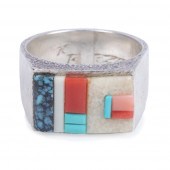 RICHARD TSOSIE NAVAJO STERLING SILVER AN
[more like this]
RICHARD TSOSIE NAVAJO STERLING SILVER AN
[more like this]
-
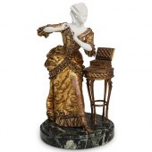 FRENCH SIGNED FRISARD FIGURAL SCULPTURED
[more like this]
FRENCH SIGNED FRISARD FIGURAL SCULPTURED
[more like this]
-
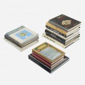
 14 HARDCOVER BOOKS ON JEWELRY & JEWELERS
[more like this]
14 HARDCOVER BOOKS ON JEWELRY & JEWELERS
[more like this]
-
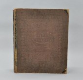
 A Large Collection of Maps of Various Re
[more like this]
A Large Collection of Maps of Various Re
[more like this]
-
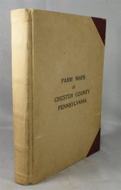 Breou's Official Series of Farm Maps, C
[more like this]
Breou's Official Series of Farm Maps, C
[more like this]
-
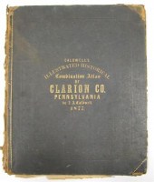 1 vol. (Pennsylvania County Atlas.) Ca
[more like this]
1 vol. (Pennsylvania County Atlas.) Ca
[more like this]
-
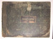 1 vol. (Palestine Exploration Fund.) Co
[more like this]
1 vol. (Palestine Exploration Fund.) Co
[more like this]
-
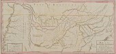
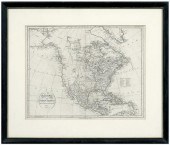 18th century map of North America, "
[more like this]
18th century map of North America, "
[more like this]
-
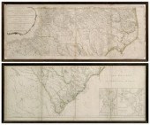 Henry Mouzon's map of the Carolinas,
[more like this]
Henry Mouzon's map of the Carolinas,
[more like this]
-
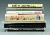 68 books and pamphlets on glassware: pri
[more like this]
68 books and pamphlets on glassware: pri
[more like this]
-
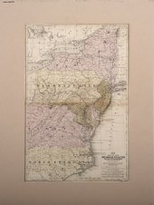
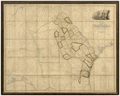 Important 19th century Georgia map, &ldq
[more like this]
Important 19th century Georgia map, &ldq
[more like this]
-
 New Historical Atlas of Summit County Oh
[more like this]
New Historical Atlas of Summit County Oh
[more like this]
This list is limited to only a few results.
Many more items are available to our members in our
Price Guide!
Ideal research tools for Collectors, Personal Property Appraisers, Antiques & Collectibles
Dealers, Auction Houses, Museums, eBayers or
other online
sellers (Rubylane, Etsy etc) and curious minds interested in appraising & identifying collectibles

EASY. FAST. ACCURATE.
Research at its best

Our research tools include:


