Pricing Guides & Dictionary of Makers Marks for Antiques & Collectibles
Appraise and find values for
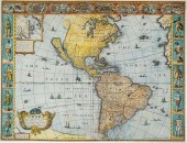
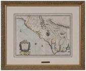
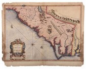
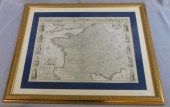
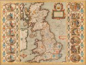
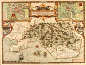
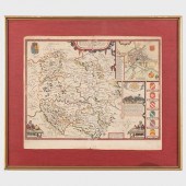
JOHN SPEED (1552-1629) A NEW AND...
From
marks4antiques.com
- The most updated price guide and makers' marks research online
As a member, you have access to a team of experts
and assistance is always available to you for free
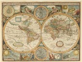
An example from the millions of items in our Price Guide:
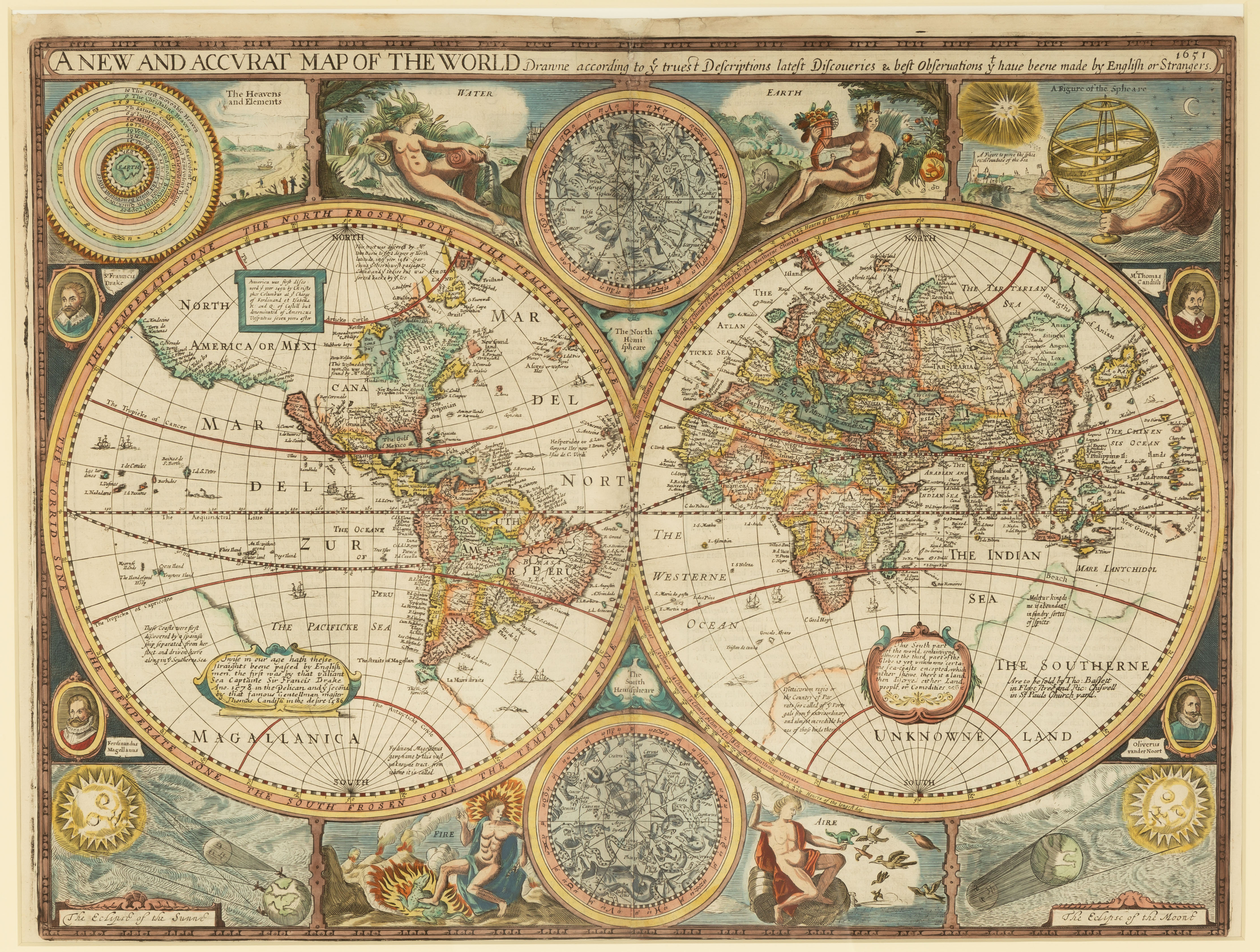
JOHN SPEED (1552-1629) A NEW AND ACCVRAT MAP OF THE WORLD A new and accvrat map of the world : drawne according to ye truest Descriptions latest...
This is an example from our
values4antiques price guide
We do not buy or sell any items
See more price guides
Check our other research services:
IDENTIFY WORLDWIDE MAKERS' MARKS & HALLMARKS
marks4ceramics:
Porcelain, Pottery, Chinaware, Figurines, Dolls, Vases...
marks4silver
:
Silver, Jewelry, Pewter, Silverplate, Copper & Bronze...
Explore other items from our
Antiques & Collectibles Price Guide
-
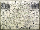
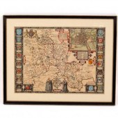
 MAPS: JOHN SPEED (ENGLAND, 1552-1629), T
[more like this]
MAPS: JOHN SPEED (ENGLAND, 1552-1629), T
[more like this]
-
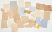
 Letters Between the Sturges Brothers Mos
[more like this]
Letters Between the Sturges Brothers Mos
[more like this]
-
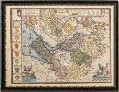
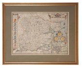
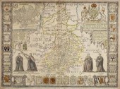
 JOHN SPEED (BRITISH, 1552-1629) THE COUN
[more like this]
JOHN SPEED (BRITISH, 1552-1629) THE COUN
[more like this]
-
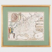
 JOHN SPEED, ENGLISH 1552-1629, FRANCE, C
[more like this]
JOHN SPEED, ENGLISH 1552-1629, FRANCE, C
[more like this]
-
 JOHN SPEED (BRITISH 1552-1629), AMERICA
[more like this]
JOHN SPEED (BRITISH 1552-1629), AMERICA
[more like this]
-
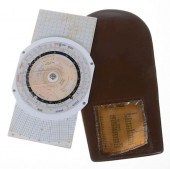 ARISTO AVIAT 617 AIR NAVIGATION COMPUTER
[more like this]
ARISTO AVIAT 617 AIR NAVIGATION COMPUTER
[more like this]
-
 Archive of Documents Associated with the
[more like this]
Archive of Documents Associated with the
[more like this]
-
 JOHN. SPEED, 1627: A PROSPECT OF THE MOS
[more like this]
JOHN. SPEED, 1627: A PROSPECT OF THE MOS
[more like this]
-
 JOHN SPEED "THE COUNTYE PALATINE OF CHES
[more like this]
JOHN SPEED "THE COUNTYE PALATINE OF CHES
[more like this]
-
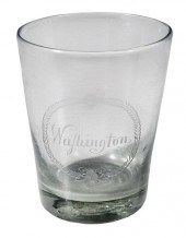 RARE ENGRAVED GLASS PRESENTATION TUMBLER
[more like this]
RARE ENGRAVED GLASS PRESENTATION TUMBLER
[more like this]
-
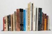 LRG GRP: BOOKS ON AFRICA AND AFRICAN ART
[more like this]
LRG GRP: BOOKS ON AFRICA AND AFRICAN ART
[more like this]
-
 CIVIL WAR ARCHIVE, INCL. GEN. BATE ON DE
[more like this]
CIVIL WAR ARCHIVE, INCL. GEN. BATE ON DE
[more like this]
-
 JOHN SPEED - MAP OF THE CAROLINAS, 1676J
[more like this]
JOHN SPEED - MAP OF THE CAROLINAS, 1676J
[more like this]
-
 SPEED - A NEW DESCRIPTION OF CAROLINA, M
[more like this]
SPEED - A NEW DESCRIPTION OF CAROLINA, M
[more like this]
-
 JOHN SPEED (1552-1629) A NEW AND ACCVRAT
[more like this]
JOHN SPEED (1552-1629) A NEW AND ACCVRAT
[more like this]
-
 John Speed (1552-1629) - Engraving - ''S
[more like this]
John Speed (1552-1629) - Engraving - ''S
[more like this]
-
 JOHN NORDEN (1547-1625) AND JOHN SPEED (
[more like this]
JOHN NORDEN (1547-1625) AND JOHN SPEED (
[more like this]
-
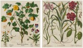 AFTER BASILIUS BESLER (1561-1629, GERMAN
[more like this]
AFTER BASILIUS BESLER (1561-1629, GERMAN
[more like this]
-
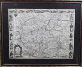
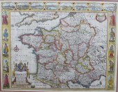
 MAP OF FRANCE, 1626, JOHN SPEED (1552-16
[more like this]
MAP OF FRANCE, 1626, JOHN SPEED (1552-16
[more like this]
-
 CSA Colonel John Singleton Mosby Fine Co
[more like this]
CSA Colonel John Singleton Mosby Fine Co
[more like this]
-
 JOHN SPEED (1552-1629) BOHEMIA Engraving
[more like this]
JOHN SPEED (1552-1629) BOHEMIA Engraving
[more like this]
-
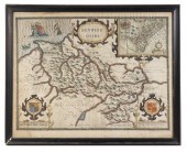
 JOHN SPEED (1552-1629) FRANCE Hand colou
[more like this]
JOHN SPEED (1552-1629) FRANCE Hand colou
[more like this]
-
 JOHN SPEED (ENGLAND, 1551 OR 1552 ? 1629
[more like this]
JOHN SPEED (ENGLAND, 1551 OR 1552 ? 1629
[more like this]
-
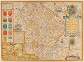 John Speed (1552-1629)/The Countie and C
[more like this]
John Speed (1552-1629)/The Countie and C
[more like this]
-
 John Speed (1552-1629)/Shropshyre/descri
[more like this]
John Speed (1552-1629)/Shropshyre/descri
[more like this]
-
 John Speed (1552-1629)/Britain as it was
[more like this]
John Speed (1552-1629)/Britain as it was
[more like this]
-
 John Speed (1552-1629)/County map of Glo
[more like this]
John Speed (1552-1629)/County map of Glo
[more like this]
-
 John Speed (1552-1629)/Northumberland/wi
[more like this]
John Speed (1552-1629)/Northumberland/wi
[more like this]
-
 John Speed (1552-1629)/The Countie Palla
[more like this]
John Speed (1552-1629)/The Countie Palla
[more like this]
-
 John Speed (1552-1629)/Glamorganshyre/wi
[more like this]
John Speed (1552-1629)/Glamorganshyre/wi
[more like this]
-
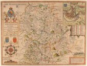
 John Speed (1552-1629)/Oxfordshire/descr
[more like this]
John Speed (1552-1629)/Oxfordshire/descr
[more like this]
-
 John Speed (British 1552-1629)/Cambridge
[more like this]
John Speed (British 1552-1629)/Cambridge
[more like this]
-
 JOHN SPEED (1552-1629): A MAP OF RUSSIAE
[more like this]
JOHN SPEED (1552-1629): A MAP OF RUSSIAE
[more like this]
-
 JOHN SPEED (1552-1629): HEREFORSHIREEngr
[more like this]
JOHN SPEED (1552-1629): HEREFORSHIREEngr
[more like this]
-
 John Speed (British 1552-1629)/Rutlandsh
[more like this]
John Speed (British 1552-1629)/Rutlandsh
[more like this]
-
 John Speed (1552-1629) - Two coloured en
[more like this]
John Speed (1552-1629) - Two coloured en
[more like this]
This list is limited to only a few results.
Many more items are available to our members in our
Price Guide!
Ideal research tools for Collectors, Personal Property Appraisers, Antiques & Collectibles
Dealers, Auction Houses, Museums, eBayers or
other online
sellers (Rubylane, Etsy etc) and curious minds interested in appraising & identifying collectibles

EASY. FAST. ACCURATE.
Research at its best

Our research tools include:


