Pricing Guides & Dictionary of Makers Marks for Antiques & Collectibles
Appraise and find values for
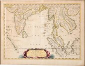
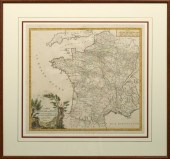
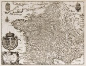
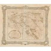
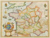
PARTIE DE LA BARBARIE ROYAUME...
From
marks4antiques.com
- The most updated price guide and makers' marks research online
As a member, you have access to a team of experts
and assistance is always available to you for free
An example from the millions of items in our Price Guide:
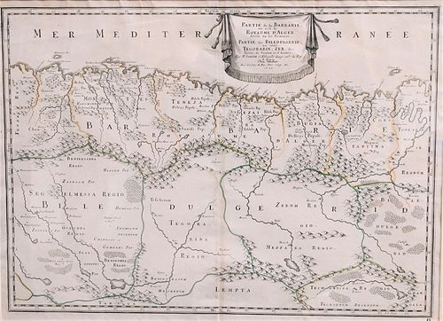
PARTIE DE LA BARBARIE ROYAUME D'ALGER MAP, 1655, MER ME...Partie de la Barbarie Royaume D'Alger Map, 1655, mer mediterRanee, 15 1/2" x 21 1/4". Condition:...
This is an example from our
values4antiques price guide
We do not buy or sell any items
See more price guides
Check our other research services:
IDENTIFY WORLDWIDE MAKERS' MARKS & HALLMARKS
marks4ceramics:
Porcelain, Pottery, Chinaware, Figurines, Dolls, Vases...
marks4silver
:
Silver, Jewelry, Pewter, Silverplate, Copper & Bronze...
Explore other items from our
Antiques & Collectibles Price Guide
-
 PARTIE DE LA BARBARIE ROYAUME D'ALGER MA
[more like this]
PARTIE DE LA BARBARIE ROYAUME D'ALGER MA
[more like this]
-
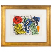
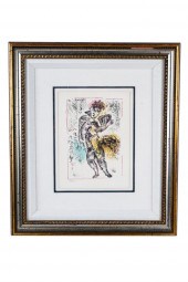
 MARC CHAGALL (1887-1985), PLATE 5 FROM "
[more like this]
MARC CHAGALL (1887-1985), PLATE 5 FROM "
[more like this]
-
 1776 MAP, PARTIE ORIENTALE DU CANADA, AV
[more like this]
1776 MAP, PARTIE ORIENTALE DU CANADA, AV
[more like this]
-
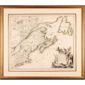 1776 MAP, PARTIE ORIENTALE DU CANADA, AV
[more like this]
1776 MAP, PARTIE ORIENTALE DU CANADA, AV
[more like this]
-
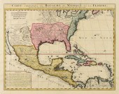 AN ANTIQUE MAP, "CARTE CONTETANT LE ROYA
[more like this]
AN ANTIQUE MAP, "CARTE CONTETANT LE ROYA
[more like this]
-
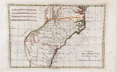 Early maps of South Carolina and the sou
[more like this]
Early maps of South Carolina and the sou
[more like this]
-
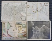 THREE MAPS AND AN ARIAL PHOTOGRAPH OF RO
[more like this]
THREE MAPS AND AN ARIAL PHOTOGRAPH OF RO
[more like this]
-
 NICOLAS SANSON, FRENCH 1600-1667, MAP OF
[more like this]
NICOLAS SANSON, FRENCH 1600-1667, MAP OF
[more like this]
-
 FERNAND LEGER. "LE PARTIE DE CAMPAGNE,"
[more like this]
FERNAND LEGER. "LE PARTIE DE CAMPAGNE,"
[more like this]
-
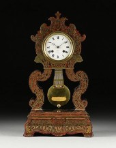
 FRENCH MAHOGANY, EBONISED, AND BOULLE MA
[more like this]
FRENCH MAHOGANY, EBONISED, AND BOULLE MA
[more like this]
-
 AN ANTIQUE FRENCH BOULLE BRASS MARQUETRY
[more like this]
AN ANTIQUE FRENCH BOULLE BRASS MARQUETRY
[more like this]
-
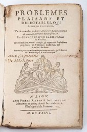 BACHET, CLAUDE GASPARD DE MEZIRIAC. PROB
[more like this]
BACHET, CLAUDE GASPARD DE MEZIRIAC. PROB
[more like this]
-
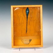 RENE LALIQUE (FRENCH, 1860-1945) ORIGINA
[more like this]
RENE LALIQUE (FRENCH, 1860-1945) ORIGINA
[more like this]
-
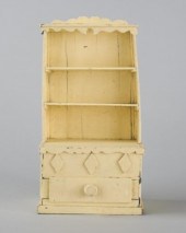 MINIATURE DISH DRESSERA naïve miniature
[more like this]
MINIATURE DISH DRESSERA naïve miniature
[more like this]
-
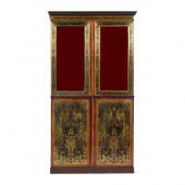
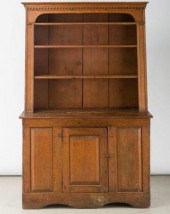
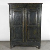 SMALL ARMOIRE, QUEBEC, LATE 18TH CENTURY
[more like this]
SMALL ARMOIRE, QUEBEC, LATE 18TH CENTURY
[more like this]
-
 EASTERN ONTARIO DISH DRESSER, CA. 1820An
[more like this]
EASTERN ONTARIO DISH DRESSER, CA. 1820An
[more like this]
-
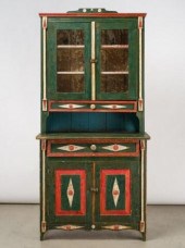 MANITOBA UKRAINIAN TWO-PIECE CUPBOARD, 1
[more like this]
MANITOBA UKRAINIAN TWO-PIECE CUPBOARD, 1
[more like this]
-
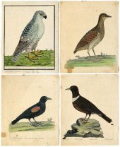 Four Eleazar Albin etchings (British, 16
[more like this]
Four Eleazar Albin etchings (British, 16
[more like this]
-
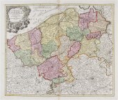
 "Carte du Royaume de France/Les Routes d
[more like this]
"Carte du Royaume de France/Les Routes d
[more like this]
-
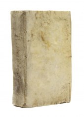
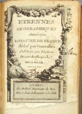 1 vol. (Small Format Atlas.) Du Caille.
[more like this]
1 vol. (Small Format Atlas.) Du Caille.
[more like this]
-
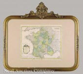 An Antique Hand-Colored Map of France "C
[more like this]
An Antique Hand-Colored Map of France "C
[more like this]
-
 NICHOLAS SANSON (FRENCH 1600-1667) LE RO
[more like this]
NICHOLAS SANSON (FRENCH 1600-1667) LE RO
[more like this]
-
 NICHOLAS SANSON (FRENCH 1600-1667) LE RO
[more like this]
NICHOLAS SANSON (FRENCH 1600-1667) LE RO
[more like this]
-
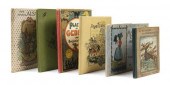 * (CHILDREN'S FRENCH) A group of six chi
[more like this]
* (CHILDREN'S FRENCH) A group of six chi
[more like this]
-
 (MAP) MERIAN MATTHAUS A group of four ma
[more like this]
(MAP) MERIAN MATTHAUS A group of four ma
[more like this]
-
 (MAP) A group of seven maps. Comitatus F
[more like this]
(MAP) A group of seven maps. Comitatus F
[more like this]
-
 * MENDOZA JUAN GONZALEZ DE Histoire du g
[more like this]
* MENDOZA JUAN GONZALEZ DE Histoire du g
[more like this]
-
 RIZZI-ZANNONI ANTIQUE MAP OF 1766 PARIS
[more like this]
RIZZI-ZANNONI ANTIQUE MAP OF 1766 PARIS
[more like this]
-
 Hand colored map La Chine Royaume (Three
[more like this]
Hand colored map La Chine Royaume (Three
[more like this]
-
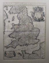
 MAP OF GALLIA, LE ROYAUME DE FRANCE. WIL
[more like this]
MAP OF GALLIA, LE ROYAUME DE FRANCE. WIL
[more like this]
-
 MARC CHAGALL: "PLATE III FROM 'LA FEERIE
[more like this]
MARC CHAGALL: "PLATE III FROM 'LA FEERIE
[more like this]
-
 HAND COLORED MAP OF FRANCE ON LAID PAPER
[more like this]
HAND COLORED MAP OF FRANCE ON LAID PAPER
[more like this]
-
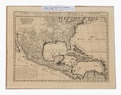 CHATELAIN MAP OF NORTH AMERICA & CARIBBE
[more like this]
CHATELAIN MAP OF NORTH AMERICA & CARIBBE
[more like this]
-
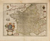
 DANCKERTS ATLAS MAP OF FRANCE, C.1680Fra
[more like this]
DANCKERTS ATLAS MAP OF FRANCE, C.1680Fra
[more like this]
-
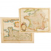 NICOLAS SANSON, (2) MAPS OF FRANCE, 17TH
[more like this]
NICOLAS SANSON, (2) MAPS OF FRANCE, 17TH
[more like this]
-
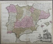
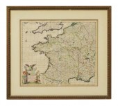
 Antique 17th Century Handcolored Map of
[more like this]
Antique 17th Century Handcolored Map of
[more like this]
This list is limited to only a few results.
Many more items are available to our members in our
Price Guide!
Ideal research tools for Collectors, Personal Property Appraisers, Antiques & Collectibles
Dealers, Auction Houses, Museums, eBayers or
other online
sellers (Rubylane, Etsy etc) and curious minds interested in appraising & identifying collectibles

EASY. FAST. ACCURATE.
Research at its best

Our research tools include:


