Pricing Guides & Dictionary of Makers Marks for Antiques & Collectibles
Appraise and find values for
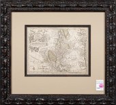
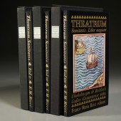
TYMPE, MATTHÄUS, Theatrum...
From
marks4antiques.com
- The most updated price guide and makers' marks research online
As a member, you have access to a team of experts
and assistance is always available to you for free
An example from the millions of items in our Price Guide:
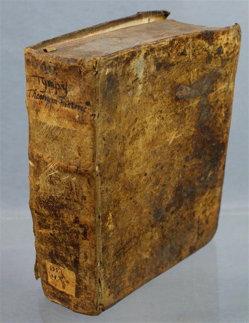
TYMPE, MATTHÄUS, Theatrum historicum; continens vindictas divinias, et praemia christianarum virtutum,. ex gravissimis Graecis, Latinis, sacris ac profanis...
This is an example from our
values4antiques price guide
We do not buy or sell any items
See more price guides
Check our other research services:
IDENTIFY WORLDWIDE MAKERS' MARKS & HALLMARKS
marks4ceramics:
Porcelain, Pottery, Chinaware, Figurines, Dolls, Vases...
marks4silver
:
Silver, Jewelry, Pewter, Silverplate, Copper & Bronze...
Explore other items from our
Antiques & Collectibles Price Guide
-
 TYMPE, MATTHÄUS, Theatrum historicum; co
[more like this]
TYMPE, MATTHÄUS, Theatrum historicum; co
[more like this]
-
 GEORG MATTHAUS SEUTTER (1678-1757) COPPE
[more like this]
GEORG MATTHAUS SEUTTER (1678-1757) COPPE
[more like this]
-
 MATTHAUS SEUTTER, PAIR ALLEGORICAL ENGRA
[more like this]
MATTHAUS SEUTTER, PAIR ALLEGORICAL ENGRA
[more like this]
-
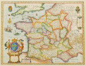
 TOBIAS CONRAD LOTTER & GEORG MATTHäUS SE
[more like this]
TOBIAS CONRAD LOTTER & GEORG MATTHäUS SE
[more like this]
-
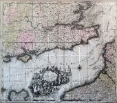
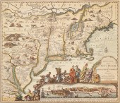
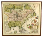 MAP: GEORG MATTHäUS SEUTTER (GERMAN, 167
[more like this]
MAP: GEORG MATTHäUS SEUTTER (GERMAN, 167
[more like this]
-
 MAP: GEORG MATTHäUS SEUTTER (GERMAN, 167
[more like this]
MAP: GEORG MATTHäUS SEUTTER (GERMAN, 167
[more like this]
-
 MATTHAUS MERIAN THE ELDER (SWISS, 1593 -
[more like this]
MATTHAUS MERIAN THE ELDER (SWISS, 1593 -
[more like this]
-
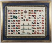 MATTHAUS SEUTTER MARITIME SIGNAL FLAG CH
[more like this]
MATTHAUS SEUTTER MARITIME SIGNAL FLAG CH
[more like this]
-
 PRINT, AFTER MATTHAUS MERIAN After Matth
[more like this]
PRINT, AFTER MATTHAUS MERIAN After Matth
[more like this]
-
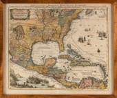
 MAP, GEORG MATTHAUS SEUTTER Georg Mattha
[more like this]
MAP, GEORG MATTHAUS SEUTTER Georg Mattha
[more like this]
-
 AFTER MATTHAUS (MASTER MZ) ZASINGER (GER
[more like this]
AFTER MATTHAUS (MASTER MZ) ZASINGER (GER
[more like this]
-
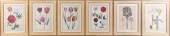
 Theatrum Botanicum , 1640: John Parkinso
[more like this]
Theatrum Botanicum , 1640: John Parkinso
[more like this]
-
 AFTER DANIEL RABEL, FRENCH 1578-1637, SI
[more like this]
AFTER DANIEL RABEL, FRENCH 1578-1637, SI
[more like this]
-
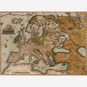
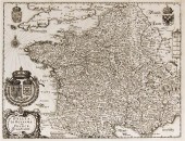
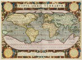 ABRAHAM ORTELIUS (BELGIAN 1527-1598), TY
[more like this]
ABRAHAM ORTELIUS (BELGIAN 1527-1598), TY
[more like this]
-
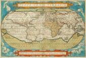 ABRAHAM ORTELIUS (BELGIAN 1527-1598), TY
[more like this]
ABRAHAM ORTELIUS (BELGIAN 1527-1598), TY
[more like this]
-
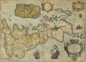
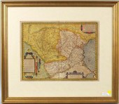 ORTELIUS MAP OF DACIA & MOESIA, ABRAHAM
[more like this]
ORTELIUS MAP OF DACIA & MOESIA, ABRAHAM
[more like this]
-
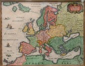
 ABRAHAM ORTELIUS 1570 MAP OF EUROPEAbrah
[more like this]
ABRAHAM ORTELIUS 1570 MAP OF EUROPEAbrah
[more like this]
-
 THEATRUM SANITATIS, VOLS. I, II, III, FM
[more like this]
THEATRUM SANITATIS, VOLS. I, II, III, FM
[more like this]
-
 ORTELIUS 'THEATRUM ORBIS TERRARUM&#
[more like this]
ORTELIUS 'THEATRUM ORBIS TERRARUM&#
[more like this]
-
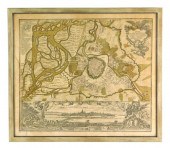
 Matthäus Merian, 1593 -1650, engraved ma
[more like this]
Matthäus Merian, 1593 -1650, engraved ma
[more like this]
-
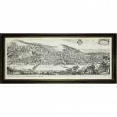
 1 piece. Hand-Colored Engraved Town Pla
[more like this]
1 piece. Hand-Colored Engraved Town Pla
[more like this]
-
 2 pieces. Hand-Colored Engraved Maps: B
[more like this]
2 pieces. Hand-Colored Engraved Maps: B
[more like this]
-
 1 piece. Partly Hand-Colored Engraved M
[more like this]
1 piece. Partly Hand-Colored Engraved M
[more like this]
-
 Four 17th and 18th century European engr
[more like this]
Four 17th and 18th century European engr
[more like this]
-
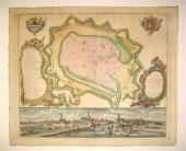
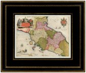 17th century map of Italy, Stato Della C
[more like this]
17th century map of Italy, Stato Della C
[more like this]
-
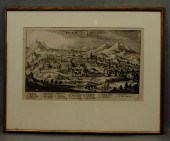
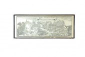 DER MARCKT ZU MUNCHEN AFTER MATTHAUS MER
[more like this]
DER MARCKT ZU MUNCHEN AFTER MATTHAUS MER
[more like this]
-
 (MAP) MERIAN MATTHAUS A group of four ma
[more like this]
(MAP) MERIAN MATTHAUS A group of four ma
[more like this]
-
 Matthaus Merian (1621-1687) - Engraving
[more like this]
Matthaus Merian (1621-1687) - Engraving
[more like this]
-
 Georg Matthaus Seutter (1729-1760) - Col
[more like this]
Georg Matthaus Seutter (1729-1760) - Col
[more like this]
-
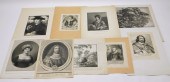 9PC GROUP OF EARLY LANDSCAPE & PORTRAIT
[more like this]
9PC GROUP OF EARLY LANDSCAPE & PORTRAIT
[more like this]
-
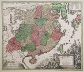 SEUTTER, ANTIQUE MAP OF CHINA, 1730Antiq
[more like this]
SEUTTER, ANTIQUE MAP OF CHINA, 1730Antiq
[more like this]
-
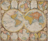
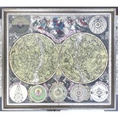 Matthaus Seutter Planisphere Print Frame
[more like this]
Matthaus Seutter Planisphere Print Frame
[more like this]
-
 ANTIQUE MAP GEORG MATTHAUS SEUTTER 18TH
[more like this]
ANTIQUE MAP GEORG MATTHAUS SEUTTER 18TH
[more like this]
-
 MATTHAUS SEUTTER (1678-1757, GERMAN) IMA
[more like this]
MATTHAUS SEUTTER (1678-1757, GERMAN) IMA
[more like this]
-
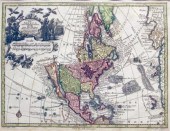
 "MAPPA GEOGRAPHICA, REGIONEM MEXICANAM E
[more like this]
"MAPPA GEOGRAPHICA, REGIONEM MEXICANAM E
[more like this]
-
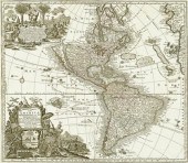
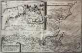
 Antique 17th Century Handcolored Map of
[more like this]
Antique 17th Century Handcolored Map of
[more like this]
This list is limited to only a few results.
Many more items are available to our members in our
Price Guide!
Ideal research tools for Collectors, Personal Property Appraisers, Antiques & Collectibles
Dealers, Auction Houses, Museums, eBayers or
other online
sellers (Rubylane, Etsy etc) and curious minds interested in appraising & identifying collectibles

EASY. FAST. ACCURATE.
Research at its best

Our research tools include:


