Pricing Guides & Dictionary of Makers Marks for Antiques & Collectibles

Appraise and find values for
BUTLER COUNTY ATLAS. Philadelphia...
From
marks4antiques.com
- The most updated price guide and makers' marks research online
As a member, you have access to a team of experts
and assistance is always available to you for free
An example from the millions of items in our Price Guide:
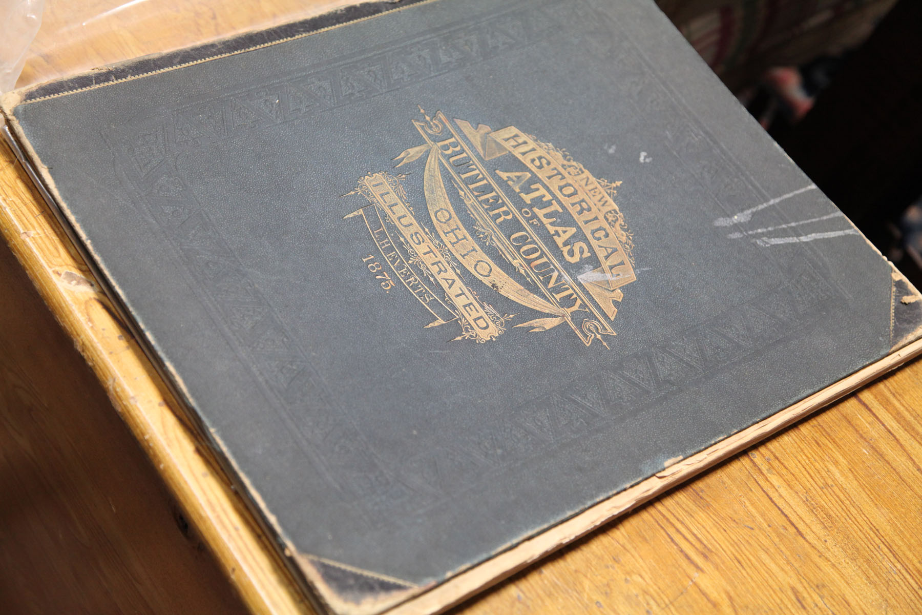
BUTLER COUNTY ATLAS. Philadelphia 1875 folio. 'Historical Atlas of Butler County Ohio' published by L.H. Everts and printed by Hunter Press ...
This is an example from our
values4antiques price guide
We do not buy or sell any items
See more price guides
Check our other research services:
IDENTIFY WORLDWIDE MAKERS' MARKS & HALLMARKS
marks4ceramics:
Porcelain, Pottery, Chinaware, Figurines, Dolls, Vases...
marks4silver
:
Silver, Jewelry, Pewter, Silverplate, Copper & Bronze...
Explore other items from our
Antiques & Collectibles Price Guide
-
 ROBERT BUTLER O/C PAINTING, FLORIDA EVER
[more like this]
-
 104 MERCURY AND ROOSEVELT DIMESMercury D
[more like this]
-
 Atlas and Cyclopedia of Butler County Oh
[more like this]
-
 5 KENTUCKY AND TENNESSEE MAPS1st item: "
[more like this]
-
 10 PCS 19TH C. TN EPHEMERA, INCL. GOVERN
[more like this]
-
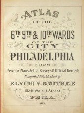 4 vols. Philadelphia Ward Atlases. Elvi
[more like this]
-
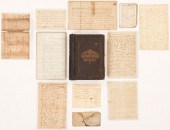 GROUP OF MIDDLE TN EPHEMERA INC. SLAVE S
[more like this]
-
 Harriet Manigault archive, miniatures: (
[more like this]
-
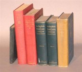 7 vols. Philadelphia & Pennsylvania - H
[more like this]
-
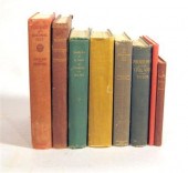 8 vols. Philadelphia & Pennsylvania -
[more like this]
-
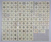 111 WALKING LIBERTY HALF 1/2 DOLLARS111
[more like this]
-
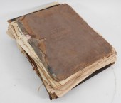 6PC ASSORTED ANTIQUE 1870'S ATLASES Unit
[more like this]
-
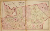 3 vols. Philadelphia Atlases. Germanto
[more like this]
-
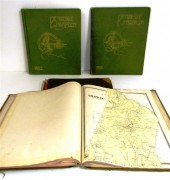 ''Atlas of Hampden County Massachusetts
[more like this]
-
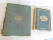 2 BOOKS. ATLAS OF COLUMBIA COUNTY & HIST
[more like this]
-
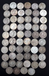 NUMISMATICS. (58) ASSORTED MORGAN SILVER
[more like this]
-
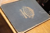 BUTLER COUNTY ATLAS. Philadelphia 1875
[more like this]
-
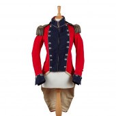 RARE IRISH MILITIA FIELD OFFICER'S RED C
[more like this]
-
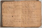 VA BIRTH/SLAVE RECORD INC. JOHN OVERTONC
[more like this]
-
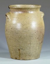 19TH C. NC STONEWARE JAR, SIGNED G. WOLF
[more like this]
-
 WYTHE COUNTY, VA PAINT DECORATED BLANKET
[more like this]
-
 4 TN & KY MAPS, 3 FRAMED1st item: "Tenne
[more like this]
-
 3 KY & TN MAPS: VANCE, TANNER, JOHNSON1s
[more like this]
-
 4 vols. (Pennsylvania Property Atlases
[more like this]
-
 9 vols. (2 wrappers) Philadelphia & En
[more like this]
-
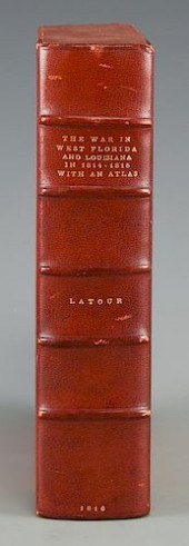 LATOUR WAR IN WEST FLORIDA LA 1814-1815,
[more like this]
-
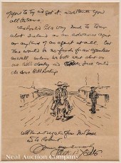 John Butler Yeats (Irish 1871-1957) Auto
[more like this]
-
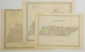 3 TN AND KY MAPS INC. FINLEY AND 2 GREEN
[more like this]
-
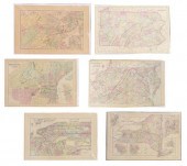 (6) MITCHELL & BRADLEY ATLAS MAPS NEW YO
[more like this]
-
 6 vols. Philadelphia - Description & Tr
[more like this]
-
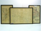 Three atlas maps featuring Rhode Island:
[more like this]
-
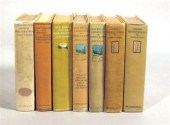 7 vols. Faris, John T. [Philadelphia &
[more like this]
-
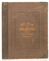 2 vols. (Philadelphia Property Atlases)
[more like this]
-
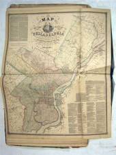 1 vol. (Philadelphia Atlas.) Smedley, S
[more like this]
-
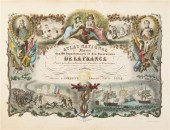 (ATLAS FRONTISPIECES) A group of four ti
[more like this]
-
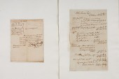 Documents from Early America Plus Lot of
[more like this]
This list is limited to only a few results.
Many more items are available to our members in our
Price Guide!


