Pricing Guides & Dictionary of Makers Marks for Antiques & Collectibles

Appraise and find values for
FLY FISHING ARCHIVE INCL. MAPS &...
From
marks4antiques.com
- The most updated price guide and makers' marks research online
As a member, you have access to a team of experts
and assistance is always available to you for free
An example from the millions of items in our Price Guide:
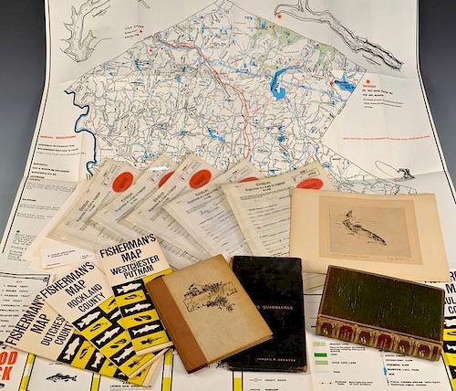
FLY FISHING ARCHIVE INCL. MAPS & BOOKSFly fishing archive belonging to Jordan Hoolick who worked for Angler Publications. Archive includes: 4 NY state...
This is an example from our
values4antiques price guide
We do not buy or sell any items
See more price guides
Check our other research services:
IDENTIFY WORLDWIDE MAKERS' MARKS & HALLMARKS
marks4ceramics:
Porcelain, Pottery, Chinaware, Figurines, Dolls, Vases...
marks4silver
:
Silver, Jewelry, Pewter, Silverplate, Copper & Bronze...
Explore other items from our
Antiques & Collectibles Price Guide
-
 LG FLY FISHING CATALOGUE EPHEMERA BOOK G
[more like this]
-
 FLY FISHING ARCHIVE INCL. MAPS & BOOKSFl
[more like this]
-
 (10) FLY FISHING GROUP, RODS, VEST, FLIE
[more like this]
-
 A Very Large Collection of Maps, 19th/e
[more like this]
-
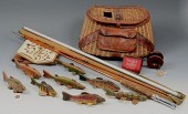 GROUPING OF VINTAGE FLY FISHING ITEMSCol
[more like this]
-
 Photographic Archive of Miles City Monta
[more like this]
-
 KEITH HOFFMAN FISHING WATERCOLOR & KILBO
[more like this]
-
 CIVIL WAR ARCHIVE OF JACOB K. LONAS, KNO
[more like this]
-
 FISHING COLLECTION Large Group of Vintag
[more like this]
-
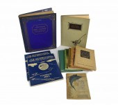 BOOKS (SPORTING/FISHING): A GROUP OF 10
[more like this]
-
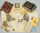 HICKS FAMILY ARCHIVE, TNAn extensive arc
[more like this]
-
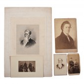 Breckinridge Family Archive Approx. 165
[more like this]
-
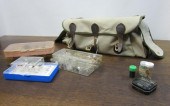 COLLECTION OF FLY FISHING EQUIPMENT INCL
[more like this]
-
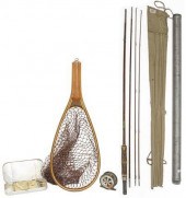 VINTAGE FLY-FISHING ROD, REEL, LANDING N
[more like this]
-
 DON BALKE (B. 1933) "ROYAL WULFF"Don Bal
[more like this]
-
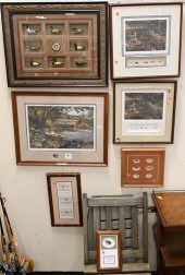 SEVEN PIECE FLY FISHING ART GROUPSeven P
[more like this]
-
 LARGE COLLECTION OF VINTAGE FISHING BOOK
[more like this]
-
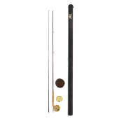 PENN INTERNATIONAL 2.5 FLY REEL WITH FEN
[more like this]
-
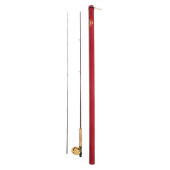 PENN INTERNATIONAL 1.5 FLY REEL WITH PEN
[more like this]
-
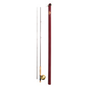 PENN INTERNATIONAL 2.5 FLY REEL WITH PEN
[more like this]
-
 PENN INTERNATIONAL 4AR FLY REEL ON CUSTO
[more like this]
-
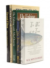 (ANGLING) A collection of 35 guide books
[more like this]
-
 BRIAN SANDERS (B. 1937) "DEEP SEA FISHIN
[more like this]
-
 4 vols. (Pennsylvania Property Atlases
[more like this]
-
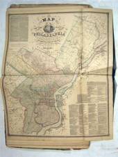 1 vol. (Philadelphia Atlas.) Smedley, S
[more like this]
-
 DU HALDE, Jean-Baptiste, (French, 1674-1
[more like this]
-
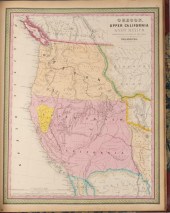 MITCHELL. A NEW UNIVERSAL ATLAS CONTAINI
[more like this]
-
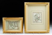 2 FRAMED 18TH C. FADEN MAPS - GREECE & D
[more like this]
-
 HENRY MOUZON - MAP OF NORTH AND SOUTH CA
[more like this]
-
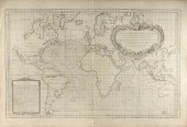 AN ANTIQUE MAP, "CARTE DES VARIATIONS DE
[more like this]
-
 GRP: SCRIPTO VU-LIGHTER ASSORTED COLORS
[more like this]
-
 MIKE STIDHAM (B. 1954)A Lone Single - Bo
[more like this]
-
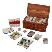 ANTIQUE FLY FISHING LURE COLLECTION WITH
[more like this]
-
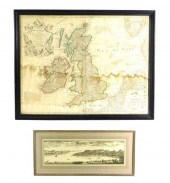 MAPS: TWO MAPS: GUILLAUME DELISLE (FRENC
[more like this]
-
 (2) CABELAS STARTER 9' & 8.5' FLY FISHIN
[more like this]
-
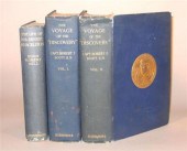 3 vols. Antarctic Travel & Exploration:
[more like this]
This list is limited to only a few results.
Many more items are available to our members in our
Price Guide!


