Pricing Guides & Dictionary of Makers Marks for Antiques & Collectibles

Appraise and find values for
Rare early maps of Charleston South...
From
marks4antiques.com
- The most updated price guide and makers' marks research online
As a member, you have access to a team of experts
and assistance is always available to you for free
An example from the millions of items in our Price Guide:
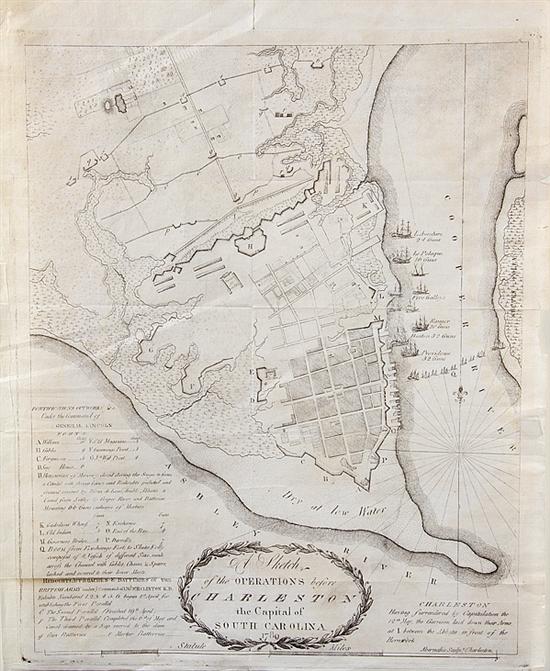
Rare early maps of Charleston South Carolina including: Charleston circa 1789 A SKETCH OF THE OPERATIONS BEFORE CHARLESTON THE CAPITAL OF SOUTH CAROLINA....
This is an example from our
values4antiques price guide
We do not buy or sell any items
See more price guides
Check our other research services:
IDENTIFY WORLDWIDE MAKERS' MARKS & HALLMARKS
marks4ceramics:
Porcelain, Pottery, Chinaware, Figurines, Dolls, Vases...
marks4silver
:
Silver, Jewelry, Pewter, Silverplate, Copper & Bronze...
Explore other items from our
Antiques & Collectibles Price Guide
-
 Rare early maps of Charleston South Caro
[more like this]
-
 Maps and Views: Civil War Charleston Sou
[more like this]
-
 A Very Large Collection of Maps, 19th/e
[more like this]
-
 A Rare North or South Carolina “Colored
[more like this]
-
 Ten pieces Charleston coin silver: two J
[more like this]
-
 HENRY MOUZON - MAP OF NORTH AND SOUTH CA
[more like this]
-
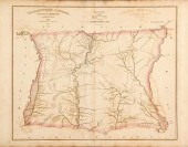 Robert Mills maps from South Carolina At
[more like this]
-
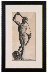 EDWIN AUGUSTUS HARLESTON(American/South
[more like this]
-
 NINE PIECES SOUTH CAROLINA SILVER FLATWA
[more like this]
-
 Charles Fraser South Carolina (1782-1860
[more like this]
-
 Five Southern coin silver spoons: servin
[more like this]
-
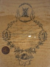 ST. ANDREW'S SOCIETY, CHARLESTON, SOUTH
[more like this]
-
 Charles Fraser (American/Charleston 1782
[more like this]
-
 A LATE MEXICAN-AMERICAN WAR ERA MAP, "MA
[more like this]
-
 Important Jeremiah Theus portrait (Swiss
[more like this]
-
 A Charleston Coin Silver Presentation Cr
[more like this]
-
 THIRTEEN PIECES SOUTH CAROLINA COIN SILV
[more like this]
-
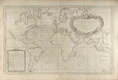 AN ANTIQUE MAP, "CARTE DES VARIATIONS DE
[more like this]
-
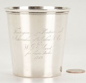 CHARLESTON, SC COIN SILVER AGRICULTURAL
[more like this]
-
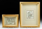 2 FRAMED 18TH C. FADEN MAPS - GREECE & D
[more like this]
-
 4 vols. (Pennsylvania Property Atlases
[more like this]
-
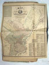 1 vol. (Philadelphia Atlas.) Smedley, S
[more like this]
-
 DU HALDE, Jean-Baptiste, (French, 1674-1
[more like this]
-
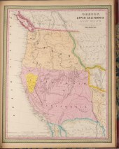 MITCHELL. A NEW UNIVERSAL ATLAS CONTAINI
[more like this]
-
 5 CIVIL WAR RELATED BOOKS1st item: Hopki
[more like this]
-
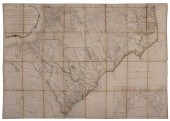 MOUZON - AN ACCURATE MAP OF NORTH AND SO
[more like this]
-
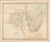 COLTON'S MAPS OF SAVANNAH AND CHARL
[more like this]
-
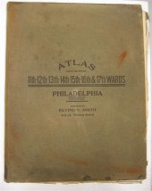 4 vols. (Philadelphia Property Atlases)
[more like this]
-
 Southern sterling bowl W. G. Whilden & C
[more like this]
-
 Twenty-Three Books, Southern Decorative
[more like this]
-
 ALICE RAVENEL HUGER SMITH WATERCOLOR PAI
[more like this]
-
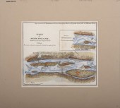 A Large Collection of Maps of America,
[more like this]
-
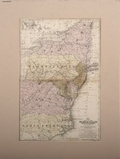 A Large Collection of Maps of Various Re
[more like this]
-
 Rare Southern coin silver sugar tongs Mo
[more like this]
-
 Rare leatherbound books: Ramsay's histor
[more like this]
-
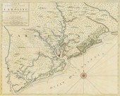 IMPORTANT EARLY SOUTH CAROLINA MAP 1696P
[more like this]
This list is limited to only a few results.
Many more items are available to our members in our
Price Guide!


