Pricing Guides & Dictionary of Makers Marks for Antiques & Collectibles
Appraise and find values for
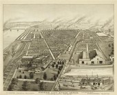
A TOPOGRAPHICAL DESCRIPTION OF...
From
marks4antiques.com
- The most updated price guide and makers' marks research online
As a member, you have access to a team of experts
and assistance is always available to you for free
An example from the millions of items in our Price Guide:
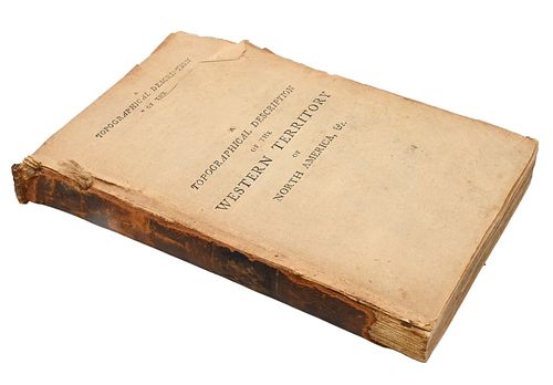
A TOPOGRAPHICAL DESCRIPTION OF THE WESTERN TERRITORY OF...A Topographical Description of the Western Territory of North America, by G. Imlay, New York,...
This is an example from our
values4antiques price guide
We do not buy or sell any items
See more price guides
Check our other research services:
IDENTIFY WORLDWIDE MAKERS' MARKS & HALLMARKS
marks4ceramics:
Porcelain, Pottery, Chinaware, Figurines, Dolls, Vases...
marks4silver
:
Silver, Jewelry, Pewter, Silverplate, Copper & Bronze...
Explore other items from our
Antiques & Collectibles Price Guide
-
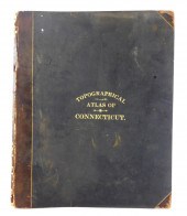 BOOK: TOPOGRAPHICAL ATLAS OF CONNECTICUT
[more like this]
BOOK: TOPOGRAPHICAL ATLAS OF CONNECTICUT
[more like this]
-
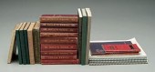
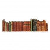
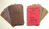 23 vols. (wrappers. Pierce-Arrow Motor
[more like this]
23 vols. (wrappers. Pierce-Arrow Motor
[more like this]
-
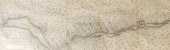 TOPOGRAPHICAL MAP OF UPPER CANADA, 1815A
[more like this]
TOPOGRAPHICAL MAP OF UPPER CANADA, 1815A
[more like this]
-
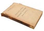 A TOPOGRAPHICAL DESCRIPTION OF THE WESTE
[more like this]
A TOPOGRAPHICAL DESCRIPTION OF THE WESTE
[more like this]
-
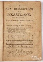 A NEW DESCRIPTION OF MERRYLAND. CONTAINI
[more like this]
A NEW DESCRIPTION OF MERRYLAND. CONTAINI
[more like this]
-
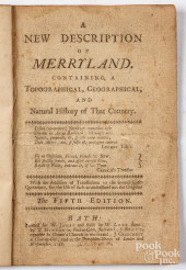 A NEW DESCRIPTION OF MERRYLAND. CONTAINI
[more like this]
A NEW DESCRIPTION OF MERRYLAND. CONTAINI
[more like this]
-
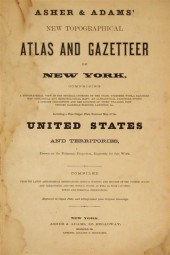 2 vols. American 19th-Century State Atl
[more like this]
2 vols. American 19th-Century State Atl
[more like this]
-
 1 vol. The Official State Atlas of Kans
[more like this]
1 vol. The Official State Atlas of Kans
[more like this]
-
 Collection of Gurley's manuals, rela
[more like this]
Collection of Gurley's manuals, rela
[more like this]
-
 An album containing topographical views
[more like this]
An album containing topographical views
[more like this]
-
 GREGOR TURK, WHITE TOPOGRAPHICAL MAP PRE
[more like this]
GREGOR TURK, WHITE TOPOGRAPHICAL MAP PRE
[more like this]
-
 TOPOGRAPHICAL AND OTHER VOLUMES
INCLUDIN
[more like this]
TOPOGRAPHICAL AND OTHER VOLUMES
INCLUDIN
[more like this]
-
 (LOT OF 7) ENGLISH FLORAL DECORATED AND
[more like this]
(LOT OF 7) ENGLISH FLORAL DECORATED AND
[more like this]
-
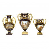 DERBY STYLE PORCELAIN TOPOGRAPHICAL VASE
[more like this]
DERBY STYLE PORCELAIN TOPOGRAPHICAL VASE
[more like this]
-
 (LOT OF 3) SALOPIAN COALPORT PORCELAIN T
[more like this]
(LOT OF 3) SALOPIAN COALPORT PORCELAIN T
[more like this]
-
 (LOT OF 13) ENGLISH PORCELAIN TOPOGRAPHI
[more like this]
(LOT OF 13) ENGLISH PORCELAIN TOPOGRAPHI
[more like this]
-
 HENRY PEARSON, AMERICAN (1914-2006), UNS
[more like this]
HENRY PEARSON, AMERICAN (1914-2006), UNS
[more like this]
-
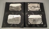
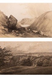 A folio of black and white engravings, m
[more like this]
A folio of black and white engravings, m
[more like this]
-
 MAP: JOHN C. LESTER, "WOODSTOCK CONNECTI
[more like this]
MAP: JOHN C. LESTER, "WOODSTOCK CONNECTI
[more like this]
-
 MEISSEN PARTIAL GILT, FLORAL DECORATED A
[more like this]
MEISSEN PARTIAL GILT, FLORAL DECORATED A
[more like this]
-
 THREE DUTCH PORCELAIN BLUE AND WHITE HOL
[more like this]
THREE DUTCH PORCELAIN BLUE AND WHITE HOL
[more like this]
-
 ROYAL DOULTON LAMBETH STONEWARE BUST OF
[more like this]
ROYAL DOULTON LAMBETH STONEWARE BUST OF
[more like this]
-
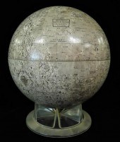 REPLOGLE LUNAR GLOBE, WITH CLEAR PLASTIC
[more like this]
REPLOGLE LUNAR GLOBE, WITH CLEAR PLASTIC
[more like this]
-
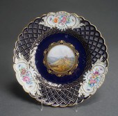
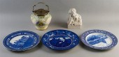
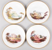
 THREE ENGLISH PORCELAIN TOPOGRAPHICAL TA
[more like this]
THREE ENGLISH PORCELAIN TOPOGRAPHICAL TA
[more like this]
-
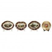
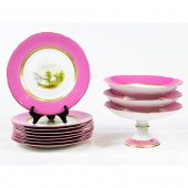
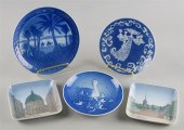
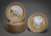
 NINE ENGLISH PORCELAIN TOPOGRAPHICAL DEC
[more like this]
NINE ENGLISH PORCELAIN TOPOGRAPHICAL DEC
[more like this]
-
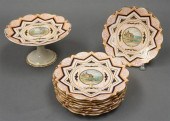
 SET OF TWELVE W.T. COPELAND & SONS TOPOG
[more like this]
SET OF TWELVE W.T. COPELAND & SONS TOPOG
[more like this]
-
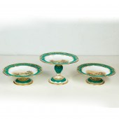
 FOUR WEDGWOOD BONE CHINA TOPOGRAPHICAL D
[more like this]
FOUR WEDGWOOD BONE CHINA TOPOGRAPHICAL D
[more like this]
-
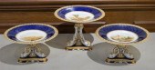
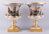 PAIR OF CONTINENTAL TOPOGRAPHICAL CAMPAI
[more like this]
PAIR OF CONTINENTAL TOPOGRAPHICAL CAMPAI
[more like this]
-
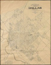
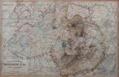 TOPOGRAPHICAL MAP OF MORRIS COUNTY, NEW
[more like this]
TOPOGRAPHICAL MAP OF MORRIS COUNTY, NEW
[more like this]
-
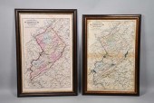 2 TOPOGRAPHICAL MAPS OF WARREN COUNTY, N
[more like this]
2 TOPOGRAPHICAL MAPS OF WARREN COUNTY, N
[more like this]
-
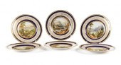 SET OF SIX TOPOGRAPHICAL PLATESSET OF SI
[more like this]
SET OF SIX TOPOGRAPHICAL PLATESSET OF SI
[more like this]
-
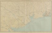 AN ANTIQUE MAP, "GENERAL TOPOGRAPHICAL M
[more like this]
AN ANTIQUE MAP, "GENERAL TOPOGRAPHICAL M
[more like this]
-
 AN ANTIQUE MAP, "TOPOGRAPHICAL MAP FOR C
[more like this]
AN ANTIQUE MAP, "TOPOGRAPHICAL MAP FOR C
[more like this]
-
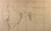 AN ANTIQUE MAP, "MAP OF AN EXPLORING EXP
[more like this]
AN ANTIQUE MAP, "MAP OF AN EXPLORING EXP
[more like this]
-
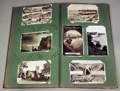
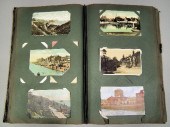 An early 20th Century postcard album con
[more like this]
An early 20th Century postcard album con
[more like this]
-
 An early 20th Century postcard album con
[more like this]
An early 20th Century postcard album con
[more like this]
This list is limited to only a few results.
Many more items are available to our members in our
Price Guide!
Ideal research tools for Collectors, Personal Property Appraisers, Antiques & Collectibles
Dealers, Auction Houses, Museums, eBayers or
other online
sellers (Rubylane, Etsy etc) and curious minds interested in appraising & identifying collectibles

EASY. FAST. ACCURATE.
Research at its best

Our research tools include:


