Pricing Guides & Dictionary of Makers Marks for Antiques & Collectibles
Appraise and find values for
ANTIQUE 19TH CENTURY US GEOGRAPHY...
From
marks4antiques.com
- The most updated price guide and makers' marks research online
As a member, you have access to a team of experts
and assistance is always available to you for free
An example from the millions of items in our Price Guide:
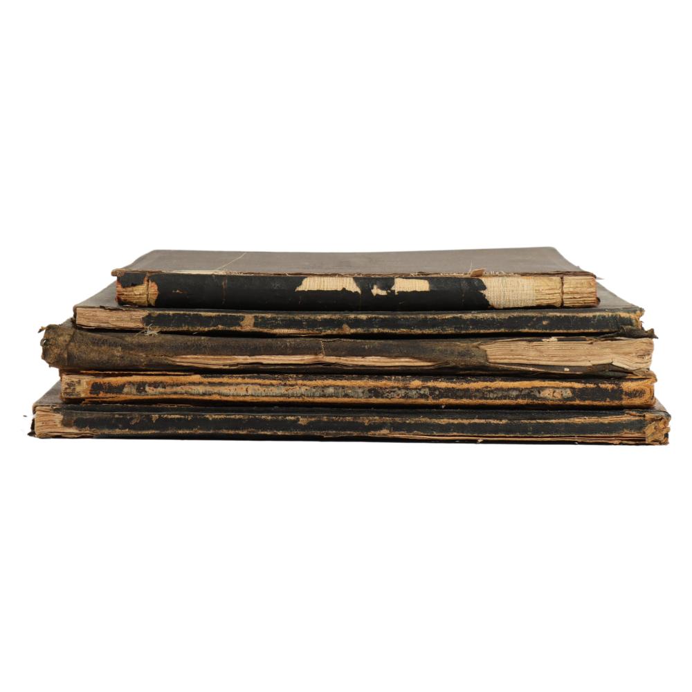
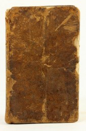
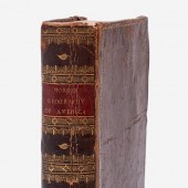
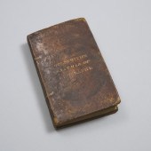
ANTIQUE 19TH CENTURY US GEOGRAPHY ATLAS AND PRIMER BOOKS WITH MAPS. 13"L X 10 3/4"W X 1/2"D (LARGEST)Antique 19th Century US Geography Atlas and primer...
This is an example from our
values4antiques price guide
We do not buy or sell any items
See more price guides
Check our other research services:
IDENTIFY WORLDWIDE MAKERS' MARKS & HALLMARKS
marks4ceramics:
Porcelain, Pottery, Chinaware, Figurines, Dolls, Vases...
marks4silver
:
Silver, Jewelry, Pewter, Silverplate, Copper & Bronze...
Explore other items from our
Antiques & Collectibles Price Guide
-
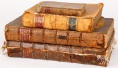
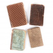 FOUR ANTIQUE SCHOOL BOOKS: PETER'S BURRO
[more like this]
FOUR ANTIQUE SCHOOL BOOKS: PETER'S BURRO
[more like this]
-
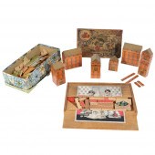
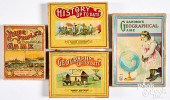 FOUR GEOGRAPHY AND HISTORY GAMES, EARLY
[more like this]
FOUR GEOGRAPHY AND HISTORY GAMES, EARLY
[more like this]
-
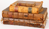 FOUR BOOKS ON ENGLISH HISTORY AND GEOGRA
[more like this]
FOUR BOOKS ON ENGLISH HISTORY AND GEOGRA
[more like this]
-
 ANTIQUE 19TH CENTURY US GEOGRAPHY ATLAS
[more like this]
ANTIQUE 19TH CENTURY US GEOGRAPHY ATLAS
[more like this]
-
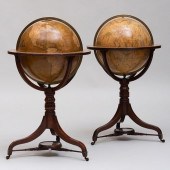 TWO FINE REGENCY GLOBES ON MAHOGANY STAN
[more like this]
TWO FINE REGENCY GLOBES ON MAHOGANY STAN
[more like this]
-
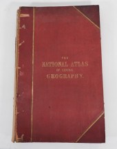 THE NATIONAL ATLAS OF GENERAL GEOGRAPHY
[more like this]
THE NATIONAL ATLAS OF GENERAL GEOGRAPHY
[more like this]
-
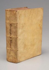 Tolomeo, geography, La Geografia Di Clau
[more like this]
Tolomeo, geography, La Geografia Di Clau
[more like this]
-
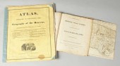 ''Atlas Geography of the Heavens'' & ''B
[more like this]
''Atlas Geography of the Heavens'' & ''B
[more like this]
-
 Early American Geography TextbookWorkman
[more like this]
Early American Geography TextbookWorkman
[more like this]
-
 YOSHIO IMAMURA, JAPANESE B. 1948, "LATIT
[more like this]
YOSHIO IMAMURA, JAPANESE B. 1948, "LATIT
[more like this]
-
 ATLAS, DESIGNED TO ILLUSTRATE THE GEOGRA
[more like this]
ATLAS, DESIGNED TO ILLUSTRATE THE GEOGRA
[more like this]
-
 GUTHRIE, A NEW SYSTEM OF MODERN GEOGRAPH
[more like this]
GUTHRIE, A NEW SYSTEM OF MODERN GEOGRAPH
[more like this]
-
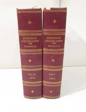 COLLECTIBLE BOOKS: "MODERN GEOGRAPHY, A
[more like this]
COLLECTIBLE BOOKS: "MODERN GEOGRAPHY, A
[more like this]
-
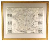 MAP: 19TH C. INDUSTRIAL MAP OF FRANCE, "
[more like this]
MAP: 19TH C. INDUSTRIAL MAP OF FRANCE, "
[more like this]
-
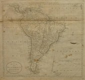 A MAP OF SOUTH AMERICA, ENGRAVED FOR CAR
[more like this]
A MAP OF SOUTH AMERICA, ENGRAVED FOR CAR
[more like this]
-
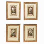 4 PC, HANDCOLORED ENGRAVINGS, MIDDLETONS
[more like this]
4 PC, HANDCOLORED ENGRAVINGS, MIDDLETONS
[more like this]
-
 MUTOSCOPE REEL. GIRLIE GEOGRAPHY LESSON.
[more like this]
MUTOSCOPE REEL. GIRLIE GEOGRAPHY LESSON.
[more like this]
-
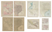
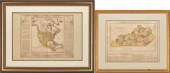 2 FRAMED HISTORICAL MAPS, NORTH AMERICA
[more like this]
2 FRAMED HISTORICAL MAPS, NORTH AMERICA
[more like this]
-
 A COMPLETE SYSTEM OF GEOGRAPHY, VOL. I B
[more like this]
A COMPLETE SYSTEM OF GEOGRAPHY, VOL. I B
[more like this]
-
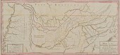 TENNESSEE MAP CIRCA 1795"Map of the Tenn
[more like this]
TENNESSEE MAP CIRCA 1795"Map of the Tenn
[more like this]
-
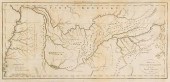 1799 TENNESSEE MAPA MAP OF THE TENNASSEE
[more like this]
1799 TENNESSEE MAPA MAP OF THE TENNASSEE
[more like this]
-
 JEDIDIAH MORSE "THE AMERICAN GEOGRAPHY"
[more like this]
JEDIDIAH MORSE "THE AMERICAN GEOGRAPHY"
[more like this]
-
 Rev. J. Goldsmith A GRAMMAR OF GENERAL G
[more like this]
Rev. J. Goldsmith A GRAMMAR OF GENERAL G
[more like this]
-
 ANTIQUE CHILDREN'S TOYS; ARCHITECTURAL B
[more like this]
ANTIQUE CHILDREN'S TOYS; ARCHITECTURAL B
[more like this]
-
 FOUR BOOKS ON ENGLISH HISTORY AND GEOGRA
[more like this]
FOUR BOOKS ON ENGLISH HISTORY AND GEOGRA
[more like this]
-
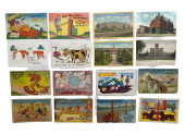 TWELVE HUMOR POSTCARDS + FOUR SOUVENIR G
[more like this]
TWELVE HUMOR POSTCARDS + FOUR SOUVENIR G
[more like this]
-
 A RARE ANTIQUE CIVIL WAR ERA MAP, "PRESS
[more like this]
A RARE ANTIQUE CIVIL WAR ERA MAP, "PRESS
[more like this]
-
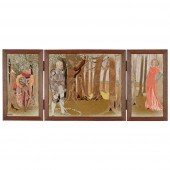 MARY IRELAND (1891-C.1980)
‘ENCHANTMENT’
[more like this]
MARY IRELAND (1891-C.1980)
‘ENCHANTMENT’
[more like this]
-
 A GROUP OF TWO ANTIQUE MAPS OF THE STATE
[more like this]
A GROUP OF TWO ANTIQUE MAPS OF THE STATE
[more like this]
-
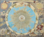 AN ANTIQUE MAP, "SYSTEMA SOLARE ET PLANE
[more like this]
AN ANTIQUE MAP, "SYSTEMA SOLARE ET PLANE
[more like this]
-
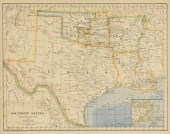
 (6) ANTIQUE TEXAS MAPS<br>(lot of 6)&nbs
[more like this]
(6) ANTIQUE TEXAS MAPS<br>(lot of 6)&nbs
[more like this]
-
 ANTIQUES REFERENCE-FURNITURE & GENERAL[A
[more like this]
ANTIQUES REFERENCE-FURNITURE & GENERAL[A
[more like this]
-
 TWO ANTIQUE ANTEBELLUM MAPS, "MAP OF TEX
[more like this]
TWO ANTIQUE ANTEBELLUM MAPS, "MAP OF TEX
[more like this]
-
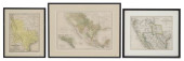
 (3) FRAMED ANTIQUE MAPS, TEXAS, 1832, 18
[more like this]
(3) FRAMED ANTIQUE MAPS, TEXAS, 1832, 18
[more like this]
-
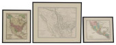
 (3) ANTIQUE MAPS, TEXAS, CALIF. C. 1846,
[more like this]
(3) ANTIQUE MAPS, TEXAS, CALIF. C. 1846,
[more like this]
-
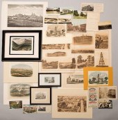 TN EPHEMERA AND PRINTS, 30 PCSAssorted T
[more like this]
TN EPHEMERA AND PRINTS, 30 PCSAssorted T
[more like this]
This list is limited to only a few results.
Many more items are available to our members in our
Price Guide!
Ideal research tools for Collectors, Personal Property Appraisers, Antiques & Collectibles
Dealers, Auction Houses, Museums, eBayers or
other online
sellers (Rubylane, Etsy etc) and curious minds interested in appraising & identifying collectibles

EASY. FAST. ACCURATE.
Research at its best

Our research tools include:


