Pricing Guides & Dictionary of Makers Marks for Antiques & Collectibles
Appraise and find values for
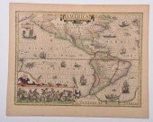
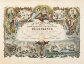
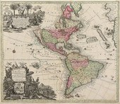
JANSSON ATLAS NOVUS 1658 BORNEO...
From
marks4antiques.com
- The most updated price guide and makers' marks research online
As a member, you have access to a team of experts
and assistance is always available to you for free
An example from the millions of items in our Price Guide:
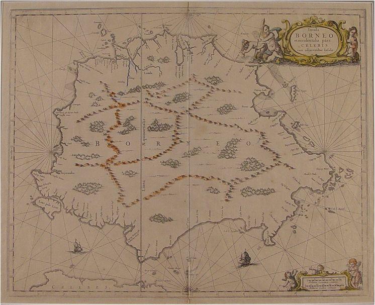
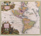
JANSSON ATLAS NOVUS 1658 BORNEO MAP: Map produced by Jan Jansson for the Atlas Novus in 1658. Hand tinted. Sight size 17'' x 21'', framed & matted 25 1/4''...
This is an example from our
values4antiques price guide
We do not buy or sell any items
See more price guides
Check our other research services:
IDENTIFY WORLDWIDE MAKERS' MARKS & HALLMARKS
marks4ceramics:
Porcelain, Pottery, Chinaware, Figurines, Dolls, Vases...
marks4silver
:
Silver, Jewelry, Pewter, Silverplate, Copper & Bronze...
Explore other items from our
Antiques & Collectibles Price Guide
-
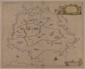 JANSSON ATLAS NOVUS 1658 BORNEO MAP: Map
[more like this]
JANSSON ATLAS NOVUS 1658 BORNEO MAP: Map
[more like this]
-
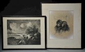 ARTWORKS BY ARTHUR AUGUST JANSSON (1890-
[more like this]
ARTWORKS BY ARTHUR AUGUST JANSSON (1890-
[more like this]
-
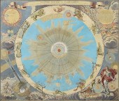 AN ANTIQUE MAP, "SYSTEMA SOLARE ET PLANE
[more like this]
AN ANTIQUE MAP, "SYSTEMA SOLARE ET PLANE
[more like this]
-
 6PC ASSORTED ANTIQUE 1870'S ATLASES Unit
[more like this]
6PC ASSORTED ANTIQUE 1870'S ATLASES Unit
[more like this]
-
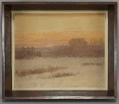 Alfred Jansson ''Landscape'' oil paintin
[more like this]
Alfred Jansson ''Landscape'' oil paintin
[more like this]
-
 KENNETH LARS JANSSON (AMERICA, 20TH CENT
[more like this]
KENNETH LARS JANSSON (AMERICA, 20TH CENT
[more like this]
-
 KENNETH LARS JANSSON (AMERICA, 20TH CENT
[more like this]
KENNETH LARS JANSSON (AMERICA, 20TH CENT
[more like this]
-
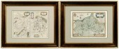
 JANSSON AND HONDIUS - TWO MAPS OF THE AM
[more like this]
JANSSON AND HONDIUS - TWO MAPS OF THE AM
[more like this]
-
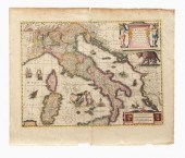 Henry Hondius map of Italy, 1639, "
[more like this]
Henry Hondius map of Italy, 1639, "
[more like this]
-
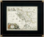 17th century map of Epirus, Albania, &qu
[more like this]
17th century map of Epirus, Albania, &qu
[more like this]
-
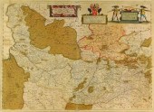 MAP: "PICARDIA VERA ET INFERIOR" BY JOHA
[more like this]
MAP: "PICARDIA VERA ET INFERIOR" BY JOHA
[more like this]
-
 Jan Jansson - Nottinghamshire, double pa
[more like this]
Jan Jansson - Nottinghamshire, double pa
[more like this]
-
 (ATLAS FRONTISPIECES) A group of four ti
[more like this]
(ATLAS FRONTISPIECES) A group of four ti
[more like this]
-
 5 KENTUCKY AND TENNESSEE MAPS1st item: "
[more like this]
5 KENTUCKY AND TENNESSEE MAPS1st item: "
[more like this]
-
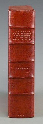 LATOUR WAR IN WEST FLORIDA LA 1814-1815,
[more like this]
LATOUR WAR IN WEST FLORIDA LA 1814-1815,
[more like this]
-
 MATTHEW SEUTTER, NOVUS ORBIS SIVE AMERIC
[more like this]
MATTHEW SEUTTER, NOVUS ORBIS SIVE AMERIC
[more like this]
-
 JODOCUS HONDIUS (DUTCH, 1563 - 1612), "N
[more like this]
JODOCUS HONDIUS (DUTCH, 1563 - 1612), "N
[more like this]
-
 AN ANTIQUE MAP, "NOVUS ORBIS SIVE AMERIC
[more like this]
AN ANTIQUE MAP, "NOVUS ORBIS SIVE AMERIC
[more like this]
-
 Three 17th century European maps: two Fr
[more like this]
Three 17th century European maps: two Fr
[more like this]
-
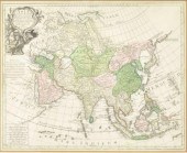 TOBIAS CONRAD LOTTER ATLAS MAP OF ASIA,
[more like this]
TOBIAS CONRAD LOTTER ATLAS MAP OF ASIA,
[more like this]
-
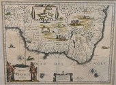
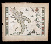 17TH C. DUTCH MAP - REGNO DI NAPOLI - BY
[more like this]
17TH C. DUTCH MAP - REGNO DI NAPOLI - BY
[more like this]
-
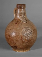 Bellarmine stoneware jug, 1658, ovoid wi
[more like this]
Bellarmine stoneware jug, 1658, ovoid wi
[more like this]
-
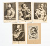 GROUP OF FIVE UNFRAMED ENGRAVINGS, VAN D
[more like this]
GROUP OF FIVE UNFRAMED ENGRAVINGS, VAN D
[more like this]
-
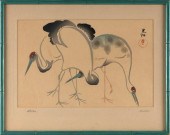 AFTER OGOTA KORIN (JAPAN, 1658-1716), CR
[more like this]
AFTER OGOTA KORIN (JAPAN, 1658-1716), CR
[more like this]
-
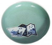 CHINESE CELADON GLAZE PORCELAIN CHARGER
[more like this]
CHINESE CELADON GLAZE PORCELAIN CHARGER
[more like this]
-
 ATTRIBUTED TO JACOB FERDINAND SAEYS (FLE
[more like this]
ATTRIBUTED TO JACOB FERDINAND SAEYS (FLE
[more like this]
-
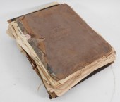
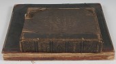
 LOT OF 3 ANTIQUE BOOKS To include James
[more like this]
LOT OF 3 ANTIQUE BOOKS To include James
[more like this]
-
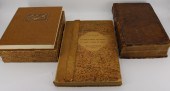
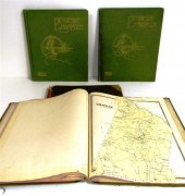
 4 vols. (Philadelphia Property Atlases)
[more like this]
4 vols. (Philadelphia Property Atlases)
[more like this]
-
 4 vols. (Pennsylvania Property Atlases
[more like this]
4 vols. (Pennsylvania Property Atlases
[more like this]
-
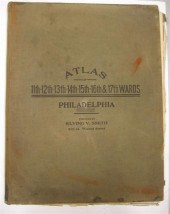
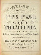 4 vols. Philadelphia Ward Atlases. Elvi
[more like this]
4 vols. Philadelphia Ward Atlases. Elvi
[more like this]
-
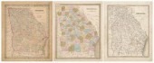 Three 19th century maps of Georgia: &quo
[more like this]
Three 19th century maps of Georgia: &quo
[more like this]
-
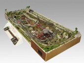 COMPLETE SET UP OF N GAUGE TRAINS & TOWN
[more like this]
COMPLETE SET UP OF N GAUGE TRAINS & TOWN
[more like this]
-
 ''Atlas of Hampden County Massachusetts
[more like this]
''Atlas of Hampden County Massachusetts
[more like this]
-
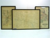 Three atlas maps featuring Rhode Island:
[more like this]
Three atlas maps featuring Rhode Island:
[more like this]
-
 Atlas and Cyclopedia of Butler County Oh
[more like this]
Atlas and Cyclopedia of Butler County Oh
[more like this]
-
 4PC CRAM & RAND MCNALLY WORLD ATLASES ,1
[more like this]
4PC CRAM & RAND MCNALLY WORLD ATLASES ,1
[more like this]
This list is limited to only a few results.
Many more items are available to our members in our
Price Guide!
Ideal research tools for Collectors, Personal Property Appraisers, Antiques & Collectibles
Dealers, Auction Houses, Museums, eBayers or
other online
sellers (Rubylane, Etsy etc) and curious minds interested in appraising & identifying collectibles

EASY. FAST. ACCURATE.
Research at its best

Our research tools include:


