Pricing Guides & Dictionary of Makers Marks for Antiques & Collectibles
Appraise and find values for
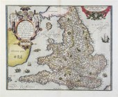
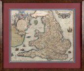
LODINUM FERACISSIMI ANGLIAE REGNI...
From
marks4antiques.com
- The most updated price guide and makers' marks research online
As a member, you have access to a team of experts
and assistance is always available to you for free
An example from the millions of items in our Price Guide:
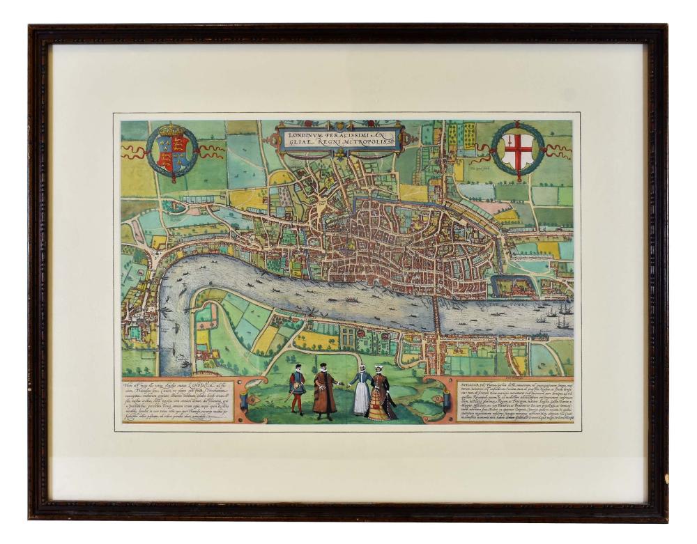
LODINUM FERACISSIMI ANGLIAE REGNI METROPOLIS MAPGeorge Braun and Franz Hogenberg, Published, Cologne, 1579, engraved by Hoefnagel, with four figures in...
This is an example from our
values4antiques price guide
We do not buy or sell any items
See more price guides
Check our other research services:
IDENTIFY WORLDWIDE MAKERS' MARKS & HALLMARKS
marks4ceramics:
Porcelain, Pottery, Chinaware, Figurines, Dolls, Vases...
marks4silver
:
Silver, Jewelry, Pewter, Silverplate, Copper & Bronze...
Explore other items from our
Antiques & Collectibles Price Guide
-
 LODINUM FERACISSIMI ANGLIAE REGNI METROP
[more like this]
LODINUM FERACISSIMI ANGLIAE REGNI METROP
[more like this]
-
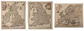 DE WIT - THREE MAPS OF EUROPE, BRITISH I
[more like this]
DE WIT - THREE MAPS OF EUROPE, BRITISH I
[more like this]
-
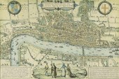 FRAMED PRINT LONDON MAP AFTER BRAUN & HO
[more like this]
FRAMED PRINT LONDON MAP AFTER BRAUN & HO
[more like this]
-
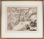
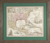
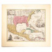
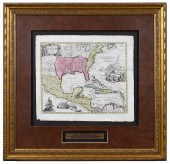 HOMANN - MAP OF MEXICO AND FLORIDAJohann
[more like this]
HOMANN - MAP OF MEXICO AND FLORIDAJohann
[more like this]
-
 NEW WORLD ANTIQUE NORTH CENTRAL SOUTH AM
[more like this]
NEW WORLD ANTIQUE NORTH CENTRAL SOUTH AM
[more like this]
-
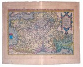
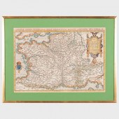 ABRAHAM ORTELIUS (1527-1598): GALLIAE RE
[more like this]
ABRAHAM ORTELIUS (1527-1598): GALLIAE RE
[more like this]
-
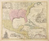 AN ANTIQUE MAP, "REGNI MEXICANI SEU NOVæ
[more like this]
AN ANTIQUE MAP, "REGNI MEXICANI SEU NOVæ
[more like this]
-
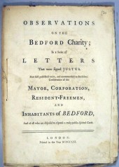
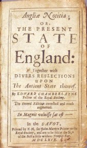 1 vol. Chamberlayne, Edward. Angliae No
[more like this]
1 vol. Chamberlayne, Edward. Angliae No
[more like this]
-
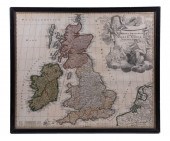
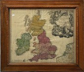
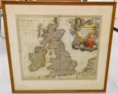 Early map of Great Britain 1712 hand c
[more like this]
Early map of Great Britain 1712 hand c
[more like this]
-
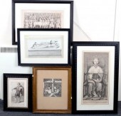 George Vertue after Giosep Grisoni/Richa
[more like this]
George Vertue after Giosep Grisoni/Richa
[more like this]
-
 EARLY 18TH C. MAP OF ENGLAND BY J.B. HOM
[more like this]
EARLY 18TH C. MAP OF ENGLAND BY J.B. HOM
[more like this]
-
 ARNOLDUS MONTANUS OR JOHN OGILBY MAP ENG
[more like this]
ARNOLDUS MONTANUS OR JOHN OGILBY MAP ENG
[more like this]
-
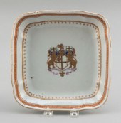 CHINESE EXPORT PORCELAIN SERVING DISH WI
[more like this]
CHINESE EXPORT PORCELAIN SERVING DISH WI
[more like this]
-
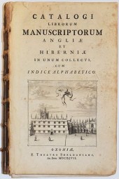 JOHN BACON "CATALOGI LIBRORUM MANUSCRIPT
[more like this]
JOHN BACON "CATALOGI LIBRORUM MANUSCRIPT
[more like this]
-
 18TH/19TH C. MAP18th/19th C. map. "Magna
[more like this]
18TH/19TH C. MAP18th/19th C. map. "Magna
[more like this]
-
 1 vol. (English Parliament - Laws.) Ann
[more like this]
1 vol. (English Parliament - Laws.) Ann
[more like this]
-
 2 vols. (1 wrappers) English Law & C -
[more like this]
2 vols. (1 wrappers) English Law & C -
[more like this]
-
 1 piece. Hand-Colored Engraved Map. (Or
[more like this]
1 piece. Hand-Colored Engraved Map. (Or
[more like this]
-
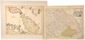 Two Antique Maps The lot consisting of:
[more like this]
Two Antique Maps The lot consisting of:
[more like this]
-
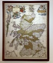
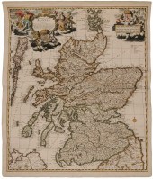 17th Century Map of Scotland "Exactissim
[more like this]
17th Century Map of Scotland "Exactissim
[more like this]
-
 (ENGLAND) OFFICIAL FUNDRAISING STATUTE A
[more like this]
(ENGLAND) OFFICIAL FUNDRAISING STATUTE A
[more like this]
-
 (MAP) ORTELIUS ABRAHAM Anglia Regni Flor
[more like this]
(MAP) ORTELIUS ABRAHAM Anglia Regni Flor
[more like this]
-
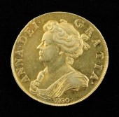 Queen Anne (1702-14) - the celebrated Vi
[more like this]
Queen Anne (1702-14) - the celebrated Vi
[more like this]
-
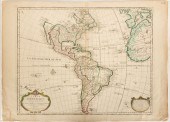 DE L'ISLE GUILLAUME CARTE D'AMERIQUE AND
[more like this]
DE L'ISLE GUILLAUME CARTE D'AMERIQUE AND
[more like this]
-
 An antique map of Scotland, 'Exactisssim
[more like this]
An antique map of Scotland, 'Exactisssim
[more like this]
-
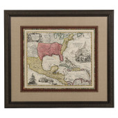
 JOHANN BAPTIST HOMANN, MAP, C. 1720Homan
[more like this]
JOHANN BAPTIST HOMANN, MAP, C. 1720Homan
[more like this]
-
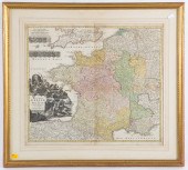 JOHANN BAPTIST HOMANN. "TOTIUS REGNI GAL
[more like this]
JOHANN BAPTIST HOMANN. "TOTIUS REGNI GAL
[more like this]
-
 HAND-COLORED MAP OF ENGLAND AND WALES 15
[more like this]
HAND-COLORED MAP OF ENGLAND AND WALES 15
[more like this]
-
 18TH C MAP, NORTH AMERICA, UNITED STATES
[more like this]
18TH C MAP, NORTH AMERICA, UNITED STATES
[more like this]
-
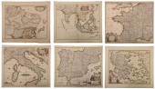 DE WIT - SIX MAPS OF EUROPE AND ASIAFred
[more like this]
DE WIT - SIX MAPS OF EUROPE AND ASIAFred
[more like this]
-
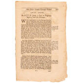 C 1760 ACT FOR LAYING A DUTY ON NEGROES;
[more like this]
C 1760 ACT FOR LAYING A DUTY ON NEGROES;
[more like this]
This list is limited to only a few results.
Many more items are available to our members in our
Price Guide!
Ideal research tools for Collectors, Personal Property Appraisers, Antiques & Collectibles
Dealers, Auction Houses, Museums, eBayers or
other online
sellers (Rubylane, Etsy etc) and curious minds interested in appraising & identifying collectibles

EASY. FAST. ACCURATE.
Research at its best

Our research tools include:


