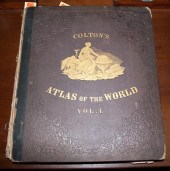
Pricing Guides & Dictionary of Makers Marks for Antiques & Collectibles
Appraise and find values for
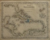
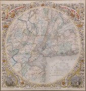
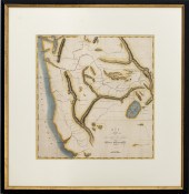
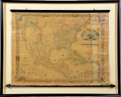
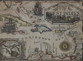
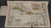
COLTON'S WEST INDIES, COLOR...
From
marks4antiques.com
- The most updated price guide and makers' marks research online
As a member, you have access to a team of experts
and assistance is always available to you for free
An example from the millions of items in our Price Guide:
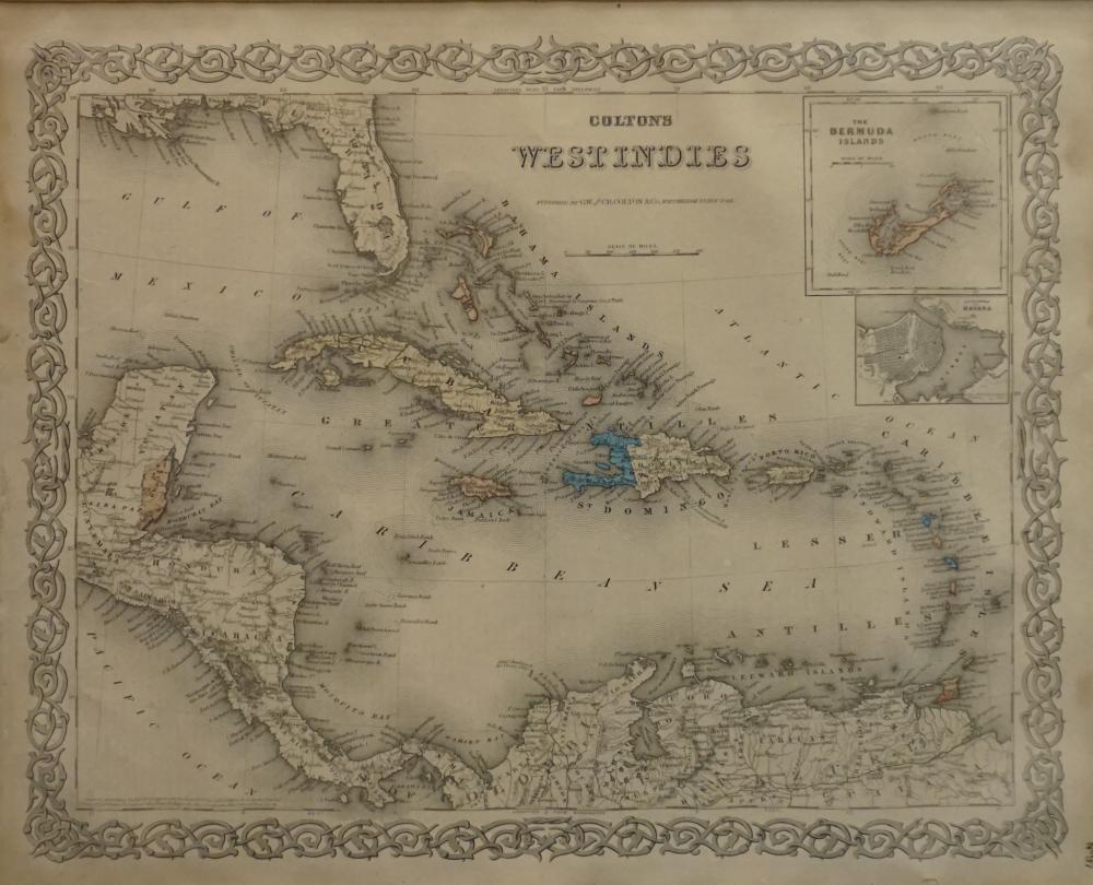
COLTON'S WEST INDIES, COLOR ENGRAVED MAP, FRAME: 18 3/4 X 21 1/2 IN. (47.63 X 54.61 CM.)Colton's West Indies, Color Engraved Map,, Dimensions: Frame: 18...
This is an example from our
values4antiques price guide
We do not buy or sell any items
See more price guides
Check our other research services:
IDENTIFY WORLDWIDE MAKERS' MARKS & HALLMARKS
marks4ceramics:
Porcelain, Pottery, Chinaware, Figurines, Dolls, Vases...
marks4silver
:
Silver, Jewelry, Pewter, Silverplate, Copper & Bronze...
Explore other items from our
Antiques & Collectibles Price Guide
-
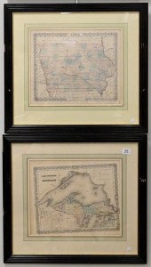
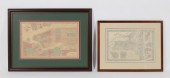
 4 TN & KY MAPS, 3 FRAMED1st item: "Tenne
[more like this]
4 TN & KY MAPS, 3 FRAMED1st item: "Tenne
[more like this]
-
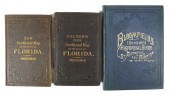
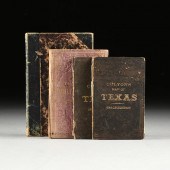 A GROUP OF FOUR BOOKS WITH MAPS OF TEXAS
[more like this]
A GROUP OF FOUR BOOKS WITH MAPS OF TEXAS
[more like this]
-
 5 KENTUCKY AND TENNESSEE MAPS1st item: "
[more like this]
5 KENTUCKY AND TENNESSEE MAPS1st item: "
[more like this]
-
 Joseph Hubert Diss Debar Sketchbook Jose
[more like this]
Joseph Hubert Diss Debar Sketchbook Jose
[more like this]
-
 World cruise line ephemera to include 19
[more like this]
World cruise line ephemera to include 19
[more like this]
-
 COLTON'S WEST INDIES, COLOR ENGRAVED MAP
[more like this]
COLTON'S WEST INDIES, COLOR ENGRAVED MAP
[more like this]
-
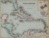 J.H. COLTON MAP OF THE WEST INDIES 1855M
[more like this]
J.H. COLTON MAP OF THE WEST INDIES 1855M
[more like this]
-
 3 pieces. Fold Maps: Colton, G.W.G. & C
[more like this]
3 pieces. Fold Maps: Colton, G.W.G. & C
[more like this]
-
 2 vols. American 19th-Century Atlases:
[more like this]
2 vols. American 19th-Century Atlases:
[more like this]
-
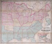 COLTON'S MAP OF THE UNITED STATES SHOWIN
[more like this]
COLTON'S MAP OF THE UNITED STATES SHOWIN
[more like this]
-
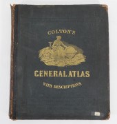 1874 COLTON'S GENERAL ATLAS New York,187
[more like this]
1874 COLTON'S GENERAL ATLAS New York,187
[more like this]
-
 JOSEPH H. COLTON HAND COLORED ENGRAVED M
[more like this]
JOSEPH H. COLTON HAND COLORED ENGRAVED M
[more like this]
-
 G.W. & J.H. COLTON "MAP OF THE COUNTRY T
[more like this]
G.W. & J.H. COLTON "MAP OF THE COUNTRY T
[more like this]
-
 ATLAS TO EDWARDS WEST INDIES HISTORY OF
[more like this]
ATLAS TO EDWARDS WEST INDIES HISTORY OF
[more like this]
-
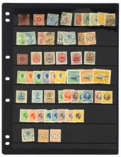 DANISH WEST INDIES STAMP GROUP 1855-1917
[more like this]
DANISH WEST INDIES STAMP GROUP 1855-1917
[more like this]
-
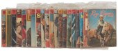 A GROUP OF GOLDEN SILVER AGE DELL FOUR C
[more like this]
A GROUP OF GOLDEN SILVER AGE DELL FOUR C
[more like this]
-
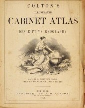
![COLTON G[EORGE] WOOLWORTH Colt](/images/colton-george-woolworth-coltons-general--154768-medium.jpg) COLTON G[EORGE] WOOLWORTH Colton's Gener
[more like this]
COLTON G[EORGE] WOOLWORTH Colton's Gener
[more like this]
-
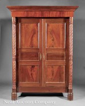
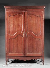 A West Indies Carved Courbaril Armoire i
[more like this]
A West Indies Carved Courbaril Armoire i
[more like this]
-
 (MAPS) George W. Colton and R. S. Fishe
[more like this]
(MAPS) George W. Colton and R. S. Fishe
[more like this]
-
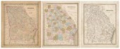 Three 19th century maps of Georgia: &quo
[more like this]
Three 19th century maps of Georgia: &quo
[more like this]
-
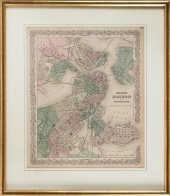 "COLTON'S BOSTON AND ADJACENT CITIES." M
[more like this]
"COLTON'S BOSTON AND ADJACENT CITIES." M
[more like this]
-
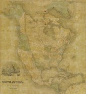 FRAMED J.H. COLTON MAP OF NORTH AMERICA
[more like this]
FRAMED J.H. COLTON MAP OF NORTH AMERICA
[more like this]
-
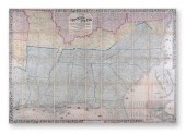
 COLTON NORTHWESTERN U.S. HAND-COLORED EN
[more like this]
COLTON NORTHWESTERN U.S. HAND-COLORED EN
[more like this]
-
 (3) EARLY FLORIDA MAPS, BLOOMFIELD, COLT
[more like this]
(3) EARLY FLORIDA MAPS, BLOOMFIELD, COLT
[more like this]
-
 EIGHT JOSEPH H. COLTON HAND COLORED ENGR
[more like this]
EIGHT JOSEPH H. COLTON HAND COLORED ENGR
[more like this]
-
 J.H. COLTON (1800-1893) A MAP, "NEW MAP
[more like this]
J.H. COLTON (1800-1893) A MAP, "NEW MAP
[more like this]
-
 AN ANTIQUE CIVIL WAR MAP, "COLTON'S MAP
[more like this]
AN ANTIQUE CIVIL WAR MAP, "COLTON'S MAP
[more like this]
-
 2 19TH CENTURY NEW YORK MAPS GAMBLE & CO
[more like this]
2 19TH CENTURY NEW YORK MAPS GAMBLE & CO
[more like this]
-
 J.H. COLTON MAP OF THE UNITED STATES OF
[more like this]
J.H. COLTON MAP OF THE UNITED STATES OF
[more like this]
-
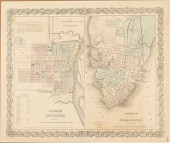 COLTON'S MAPS OF SAVANNAH AND CHARL
[more like this]
COLTON'S MAPS OF SAVANNAH AND CHARL
[more like this]
-
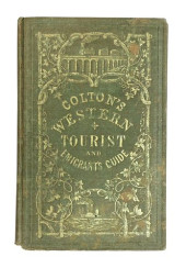 BOOK: COLTON'S WESTERN TOURIST GUID
[more like this]
BOOK: COLTON'S WESTERN TOURIST GUID
[more like this]
-
 A Rare French West Indies Carved Mahogan
[more like this]
A Rare French West Indies Carved Mahogan
[more like this]
-
 3 KY & TN MAPS: VANCE, TANNER, JOHNSON1s
[more like this]
3 KY & TN MAPS: VANCE, TANNER, JOHNSON1s
[more like this]
-
 REPRODUCTION COLOR MAP OF THE WEST INDIE
[more like this]
REPRODUCTION COLOR MAP OF THE WEST INDIE
[more like this]
-
 RAND MCNALLY & CO. WEST INDIES COLOR POC
[more like this]
RAND MCNALLY & CO. WEST INDIES COLOR POC
[more like this]
-
 ''Atlas Geography of the Heavens'' & ''B
[more like this]
''Atlas Geography of the Heavens'' & ''B
[more like this]
This list is limited to only a few results.
Many more items are available to our members in our
Price Guide!
Ideal research tools for Collectors, Personal Property Appraisers, Antiques & Collectibles
Dealers, Auction Houses, Museums, eBayers or
other online
sellers (Rubylane, Etsy etc) and curious minds interested in appraising & identifying collectibles

EASY. FAST. ACCURATE.
Research at its best

Our research tools include:


