Pricing Guides & Dictionary of Makers Marks for Antiques & Collectibles
Appraise and find values for
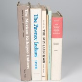
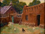
MULHALL OT (OKLAHOMA TERRITORY)...
From
marks4antiques.com
- The most updated price guide and makers' marks research online
As a member, you have access to a team of experts
and assistance is always available to you for free
An example from the millions of items in our Price Guide:
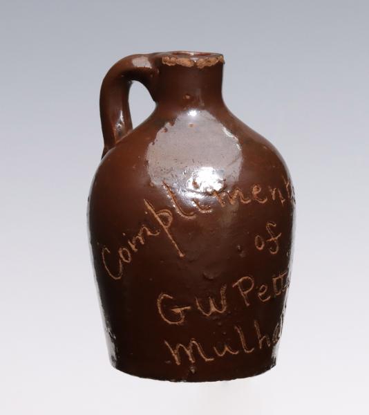
MULHALL OT (OKLAHOMA TERRITORY) STONEWARE MINI JUG...
This is an example from our
values4antiques price guide
We do not buy or sell any items
See more price guides
Check our other research services:
IDENTIFY WORLDWIDE MAKERS' MARKS & HALLMARKS
marks4ceramics:
Porcelain, Pottery, Chinaware, Figurines, Dolls, Vases...
marks4silver
:
Silver, Jewelry, Pewter, Silverplate, Copper & Bronze...
Explore other items from our
Antiques & Collectibles Price Guide
-
 Historic Guthrie Oklahoma/Chickamauga Pr
[more like this]
Historic Guthrie Oklahoma/Chickamauga Pr
[more like this]
-
 JEAN RICHARDSON, OKLAHOMA (B. 1940), NOC
[more like this]
JEAN RICHARDSON, OKLAHOMA (B. 1940), NOC
[more like this]
-
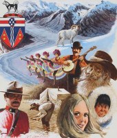 MEL CRAWFORD B. 1925) "YUKON" ORIGINALMe
[more like this]
MEL CRAWFORD B. 1925) "YUKON" ORIGINALMe
[more like this]
-
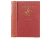 THE CHEROKEE STRIP BY GEORGE RAINEY, 193
[more like this]
THE CHEROKEE STRIP BY GEORGE RAINEY, 193
[more like this]
-
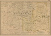
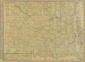
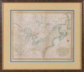
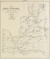
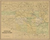 AN ANTIQUE MAP OF OKLAHOMA, "INDIAN TERR
[more like this]
AN ANTIQUE MAP OF OKLAHOMA, "INDIAN TERR
[more like this]
-
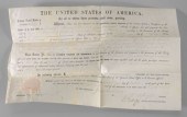
 Thomas Bolling Robertson Governor of Lou
[more like this]
Thomas Bolling Robertson Governor of Lou
[more like this]
-
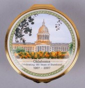 HALCYON DAYS "HUNDRED YEARS OF OKLAHOMA
[more like this]
HALCYON DAYS "HUNDRED YEARS OF OKLAHOMA
[more like this]
-
 A VINTAGE MAP, "GEOLOGIC MAP OF OKLAHOMA
[more like this]
A VINTAGE MAP, "GEOLOGIC MAP OF OKLAHOMA
[more like this]
-
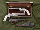 Pair of Nimschke-Style Engraved Smith &
[more like this]
Pair of Nimschke-Style Engraved Smith &
[more like this]
-
 [American Indian - Oklahoma Territory] B
[more like this]
[American Indian - Oklahoma Territory] B
[more like this]
-
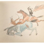 Rosebud Agency Sketchbook, by "Jack"
9
[more like this]
Rosebud Agency Sketchbook, by "Jack"
9
[more like this]
-
 RARE 1865 MONTANA TERRITORY MAP BY W.W.
[more like this]
RARE 1865 MONTANA TERRITORY MAP BY W.W.
[more like this]
-
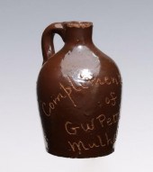 MULHALL OT (OKLAHOMA TERRITORY) STONEWAR
[more like this]
MULHALL OT (OKLAHOMA TERRITORY) STONEWAR
[more like this]
-
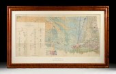
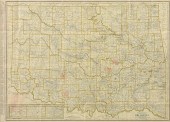
 AN ANTIQUE MAP, "THE CENTURY ATLAS, OKLA
[more like this]
AN ANTIQUE MAP, "THE CENTURY ATLAS, OKLA
[more like this]
-
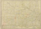
 AN ANTIQUE MAP, "RAND MCNALLY & CO.'S NE
[more like this]
AN ANTIQUE MAP, "RAND MCNALLY & CO.'S NE
[more like this]
-
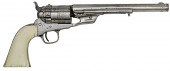 Colt Richards Conversion Revolver Presen
[more like this]
Colt Richards Conversion Revolver Presen
[more like this]
-
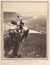 Robert Linn with his Stereoview Camera L
[more like this]
Robert Linn with his Stereoview Camera L
[more like this]
-
 NATIVE AMERICAN/WESTERN U.S. EXPEDITION
[more like this]
NATIVE AMERICAN/WESTERN U.S. EXPEDITION
[more like this]
-
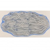 MARGO HOFF, NEW YORK, OKLAHOMA, ILLINOIS
[more like this]
MARGO HOFF, NEW YORK, OKLAHOMA, ILLINOIS
[more like this]
-
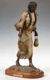 BURNETA VENOSDEL (20TH/21ST C.) BRONZE S
[more like this]
BURNETA VENOSDEL (20TH/21ST C.) BRONZE S
[more like this]
-
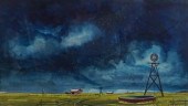 OLIVER SMITH (AMERICAN, 1918-1994) OKLAH
[more like this]
OLIVER SMITH (AMERICAN, 1918-1994) OKLAH
[more like this]
-
 MARGO HOFF, NEW YORK, OKLAHOMA, ILLINOIS
[more like this]
MARGO HOFF, NEW YORK, OKLAHOMA, ILLINOIS
[more like this]
-
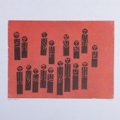
 GEORGE GOETZ (AMERICAN (OKLAHOMA), 20TH
[more like this]
GEORGE GOETZ (AMERICAN (OKLAHOMA), 20TH
[more like this]
-
 AN ANTIQUE MAP, "RAND MCNALLY STANDARD M
[more like this]
AN ANTIQUE MAP, "RAND MCNALLY STANDARD M
[more like this]
-
 AN ANTIQUE MAP, "RAND MCNALLY STANDARD M
[more like this]
AN ANTIQUE MAP, "RAND MCNALLY STANDARD M
[more like this]
-
 AN ANTIQUE MAP, "RAND MCNALLY STANDARD M
[more like this]
AN ANTIQUE MAP, "RAND MCNALLY STANDARD M
[more like this]
-
 1858 James Buchanan autographs, two part
[more like this]
1858 James Buchanan autographs, two part
[more like this]
-
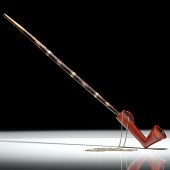 An Important Miami Pipe With Ties to the
[more like this]
An Important Miami Pipe With Ties to the
[more like this]
-
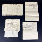
 LEDOUX'S 1930S CUSTOMS IMPORT SHIPPING D
[more like this]
LEDOUX'S 1930S CUSTOMS IMPORT SHIPPING D
[more like this]
-
 MAP OF THE NORTHERN AND MID-ATLANTIC STA
[more like this]
MAP OF THE NORTHERN AND MID-ATLANTIC STA
[more like this]
-
 LEDOUX'S 1930S CUSTOMS IMPORT SHIPPING D
[more like this]
LEDOUX'S 1930S CUSTOMS IMPORT SHIPPING D
[more like this]
-
 LEDOUX'S 1930S CUSTOMS IMPORT SHIPPING D
[more like this]
LEDOUX'S 1930S CUSTOMS IMPORT SHIPPING D
[more like this]
-
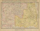
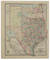
 AN ANTIQUE MAP, "TEXAS AND INDIAN TERRIT
[more like this]
AN ANTIQUE MAP, "TEXAS AND INDIAN TERRIT
[more like this]
-
 AN ANTIQUE SURVEY MAP, "MAP OF THE INDIA
[more like this]
AN ANTIQUE SURVEY MAP, "MAP OF THE INDIA
[more like this]
-
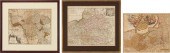 3 EUROPEAN MAPS, INCL. SCHENK, VALK, & H
[more like this]
3 EUROPEAN MAPS, INCL. SCHENK, VALK, & H
[more like this]
-
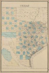
 COUNTY MAP OF TEXAS, BRADLEY (ATTRIB), C
[more like this]
COUNTY MAP OF TEXAS, BRADLEY (ATTRIB), C
[more like this]
This list is limited to only a few results.
Many more items are available to our members in our
Price Guide!
Ideal research tools for Collectors, Personal Property Appraisers, Antiques & Collectibles
Dealers, Auction Houses, Museums, eBayers or
other online
sellers (Rubylane, Etsy etc) and curious minds interested in appraising & identifying collectibles

EASY. FAST. ACCURATE.
Research at its best

Our research tools include:


