Pricing Guides & Dictionary of Makers Marks for Antiques & Collectibles
Appraise and find values for
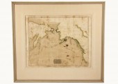
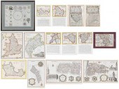
THOMSON, JOHN, 1815, TWO MAPS,...
From
marks4antiques.com
- The most updated price guide and makers' marks research online
As a member, you have access to a team of experts
and assistance is always available to you for free
An example from the millions of items in our Price Guide:
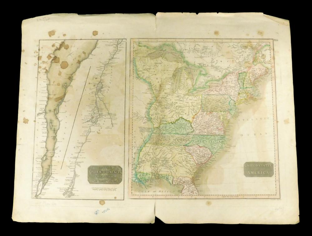
THOMSON, JOHN, 1815, TWO MAPS, "UNITED STATES OF AMERICA" ON A SHEET WITH "THE COURSE OF THE RIVER ST. LAURENCE FROM LAKE ONTARIO TO MANICOUAGAN POINT",...
This is an example from our
values4antiques price guide
We do not buy or sell any items
See more price guides
Check our other research services:
IDENTIFY WORLDWIDE MAKERS' MARKS & HALLMARKS
marks4ceramics:
Porcelain, Pottery, Chinaware, Figurines, Dolls, Vases...
marks4silver
:
Silver, Jewelry, Pewter, Silverplate, Copper & Bronze...
Explore other items from our
Antiques & Collectibles Price Guide
-
 A Very Large Collection of Maps, 19th/e
[more like this]
A Very Large Collection of Maps, 19th/e
[more like this]
-
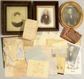
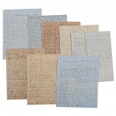 Letters Between the Sturges Brothers Mos
[more like this]
Letters Between the Sturges Brothers Mos
[more like this]
-
 THOMSON, JOHN, 1815, TWO MAPS, "UNITED S
[more like this]
THOMSON, JOHN, 1815, TWO MAPS, "UNITED S
[more like this]
-
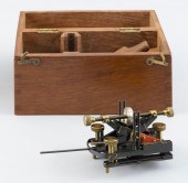 LORD KELVIN’S ADJUSTABLE MAGNETIC DEFLEC
[more like this]
LORD KELVIN’S ADJUSTABLE MAGNETIC DEFLEC
[more like this]
-
 Archive of Documents Associated with the
[more like this]
Archive of Documents Associated with the
[more like this]
-
 CIVIL WAR ARCHIVE, INCL. GEN. BATE ON DE
[more like this]
CIVIL WAR ARCHIVE, INCL. GEN. BATE ON DE
[more like this]
-
 MAPS: JOHN SPEED (ENGLAND, 1552-1629), T
[more like this]
MAPS: JOHN SPEED (ENGLAND, 1552-1629), T
[more like this]
-
 JOHN DAVIS AND FAMILY ARCHIVEArchive of
[more like this]
JOHN DAVIS AND FAMILY ARCHIVEArchive of
[more like this]
-
 2 FRAMED 18TH C. FADEN MAPS - GREECE & D
[more like this]
2 FRAMED 18TH C. FADEN MAPS - GREECE & D
[more like this]
-
 HENRY MOUZON - MAP OF NORTH AND SOUTH CA
[more like this]
HENRY MOUZON - MAP OF NORTH AND SOUTH CA
[more like this]
-
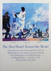 FRAMED POSTER 'THE SHOT HEARD 'ROUND THE
[more like this]
FRAMED POSTER 'THE SHOT HEARD 'ROUND THE
[more like this]
-
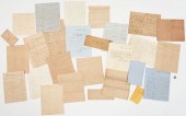
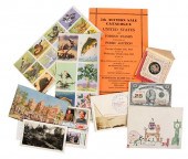 POSTAGE STAMPS AND CORRESPONDENCE, PITTS
[more like this]
POSTAGE STAMPS AND CORRESPONDENCE, PITTS
[more like this]
-
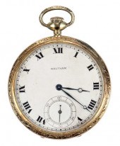 14KT. WALTHAM POCKET WATCHdial size 14s,
[more like this]
14KT. WALTHAM POCKET WATCHdial size 14s,
[more like this]
-
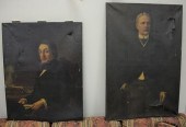 THREE PIECE LOT TO INCLUDE, HERMANN HANA
[more like this]
THREE PIECE LOT TO INCLUDE, HERMANN HANA
[more like this]
-
 DU HALDE, Jean-Baptiste, (French, 1674-1
[more like this]
DU HALDE, Jean-Baptiste, (French, 1674-1
[more like this]
-
 4 vols. (Pennsylvania Property Atlases
[more like this]
4 vols. (Pennsylvania Property Atlases
[more like this]
-
 1 vol. (Philadelphia Atlas.) Smedley, S
[more like this]
1 vol. (Philadelphia Atlas.) Smedley, S
[more like this]
-
 MITCHELL. A NEW UNIVERSAL ATLAS CONTAINI
[more like this]
MITCHELL. A NEW UNIVERSAL ATLAS CONTAINI
[more like this]
-
 AN ANTIQUE MAP, "CARTE DES VARIATIONS DE
[more like this]
AN ANTIQUE MAP, "CARTE DES VARIATIONS DE
[more like this]
-
 THE LIFE OF GEORGE WASHINGTON, BY JOHN M
[more like this]
THE LIFE OF GEORGE WASHINGTON, BY JOHN M
[more like this]
-
 MAPS: JOHN MARSHALL "THE LIFE OF GEORGE
[more like this]
MAPS: JOHN MARSHALL "THE LIFE OF GEORGE
[more like this]
-
 EARLY MAP - Thomson John; 1816 'Chart of
[more like this]
EARLY MAP - Thomson John; 1816 'Chart of
[more like this]
-
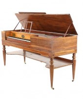 1810-1815 JOHN GEIB & SON SQUARE PIANOFo
[more like this]
1810-1815 JOHN GEIB & SON SQUARE PIANOFo
[more like this]
-
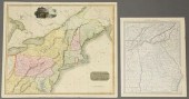 2 UNITED STATES MAPS, INCLUDING 1817.2 U
[more like this]
2 UNITED STATES MAPS, INCLUDING 1817.2 U
[more like this]
-
 8 TENNESSEE MILITARY & SURVEY MAPSAssort
[more like this]
8 TENNESSEE MILITARY & SURVEY MAPSAssort
[more like this]
-
 Military Maps Illustrating the Operation
[more like this]
Military Maps Illustrating the Operation
[more like this]
-
 9 vols. Military History Reference & C.
[more like this]
9 vols. Military History Reference & C.
[more like this]
-
 A Large Collection of Maps of America,
[more like this]
A Large Collection of Maps of America,
[more like this]
-
 5 CIVIL WAR RELATED BOOKS1st item: Hopki
[more like this]
5 CIVIL WAR RELATED BOOKS1st item: Hopki
[more like this]
-
 GROUP OF 14 MAPS OF GREAT BRITAIN, FRAME
[more like this]
GROUP OF 14 MAPS OF GREAT BRITAIN, FRAME
[more like this]
-
 2 vols. (Philadelphia Property Atlases.
[more like this]
2 vols. (Philadelphia Property Atlases.
[more like this]
-
 7 vols. Cartography: Brown, Lloyd A. Th
[more like this]
7 vols. Cartography: Brown, Lloyd A. Th
[more like this]
-
 7 vols. Cartography - American Subjects
[more like this]
7 vols. Cartography - American Subjects
[more like this]
-
 1782 Thomas Kitchen atlas, A General Atl
[more like this]
1782 Thomas Kitchen atlas, A General Atl
[more like this]
-
 6 MISSISSIPPI AND TENNESSEE RIVER MAPSSi
[more like this]
6 MISSISSIPPI AND TENNESSEE RIVER MAPSSi
[more like this]
-
 5 CIVIL WAR MAPSLot of five Civil War ma
[more like this]
5 CIVIL WAR MAPSLot of five Civil War ma
[more like this]
This list is limited to only a few results.
Many more items are available to our members in our
Price Guide!
Ideal research tools for Collectors, Personal Property Appraisers, Antiques & Collectibles
Dealers, Auction Houses, Museums, eBayers or
other online
sellers (Rubylane, Etsy etc) and curious minds interested in appraising & identifying collectibles

EASY. FAST. ACCURATE.
Research at its best

Our research tools include:


