Pricing Guides & Dictionary of Makers Marks for Antiques & Collectibles

Appraise and find values for
D'Anville, J.B.B. Atlas de...
From
marks4antiques.com
- The most updated price guide and makers' marks research online
As a member, you have access to a team of experts
and assistance is always available to you for free
An example from the millions of items in our Price Guide:

D'Anville, J.B.B. Atlas de Geographie Ancienne pour servir a L'Intelligence Des Oeuvres de Rollin…, Paris 1818. 4to., cont. half calf. 27 double page...
This is an example from our
values4antiques price guide
We do not buy or sell any items
See more price guides
Check our other research services:
IDENTIFY WORLDWIDE MAKERS' MARKS & HALLMARKS
marks4ceramics:
Porcelain, Pottery, Chinaware, Figurines, Dolls, Vases...
marks4silver
:
Silver, Jewelry, Pewter, Silverplate, Copper & Bronze...
Explore other items from our
Antiques & Collectibles Price Guide
-
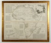 BOULTON'S AFRICA - OVERSIZED 1787 MAP WE
[more like this]
-
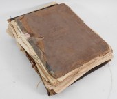 6PC ASSORTED ANTIQUE 1870'S ATLASES Unit
[more like this]
-
 RARE 18TH CENTURY CHINESE ATLASA rare 18
[more like this]
-
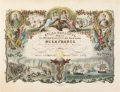 (ATLAS FRONTISPIECES) A group of four ti
[more like this]
-
 5 KENTUCKY AND TENNESSEE MAPS1st item: "
[more like this]
-
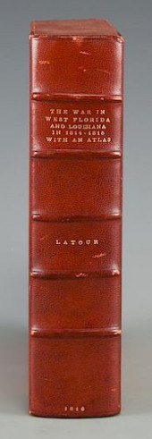 LATOUR WAR IN WEST FLORIDA LA 1814-1815,
[more like this]
-
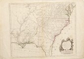 Southeastern United States map by D'Anvi
[more like this]
-
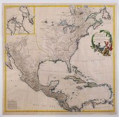 JEAN-BAPTISTE D'ANVILLE - MAP OF NORTH A
[more like this]
-
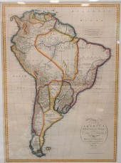 D'ANVILLE MAP OF SOUTH AMERICA, CIRCA 17
[more like this]
-
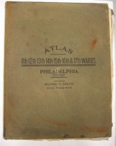 4 vols. (Philadelphia Property Atlases)
[more like this]
-
 4 vols. (Pennsylvania Property Atlases
[more like this]
-
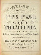 4 vols. Philadelphia Ward Atlases. Elvi
[more like this]
-
 Three 19th century maps of Georgia: &quo
[more like this]
-
 COMPLETE SET UP OF N GAUGE TRAINS & TOWN
[more like this]
-
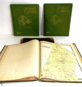 ''Atlas of Hampden County Massachusetts
[more like this]
-
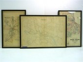 Three atlas maps featuring Rhode Island:
[more like this]
-
 Atlas and Cyclopedia of Butler County Oh
[more like this]
-
 4PC CRAM & RAND MCNALLY WORLD ATLASES ,1
[more like this]
-
 TIFFANY & CO. ATLAS 18K WHITE GOLD AND D
[more like this]
-
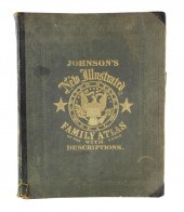 BOOK: JOHNSON'S NEW ILLUSTRATED FAMILY A
[more like this]
-
 TIFFANY & CO. ATLAS 18K WHITE GOLD AND D
[more like this]
-
 TIFFANY & CO ATLAS ROMAN NUMERAL NECKLAC
[more like this]
-
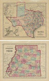 AN ANTIQUE TWO SIDED MAP, "GRAY'S ATLAS
[more like this]
-
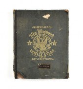 A CIVIL WAR ERA ATLAS, "JOHNSON'S NEW IL
[more like this]
-
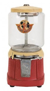 ATLAS MFG. AND SALES CO. 1 CENT ATLAS DE
[more like this]
-
 IMPORTANT ANTIQUE ATLAS DU VOYAGE DE LA
[more like this]
-
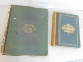 2 BOOKS. ATLAS OF COLUMBIA COUNTY & HIST
[more like this]
-
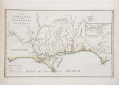 Large 1788 Hand-Colored Map of Louisiana
[more like this]
-
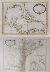 Two French Maps of the Americas 18th cen
[more like this]
-
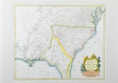 Rare early map: Southeastern United Stat
[more like this]
-
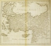 John Harrison twenty three world and twe
[more like this]
-
 D'Anville, J.B.B. Atlas de Geographie An
[more like this]
-
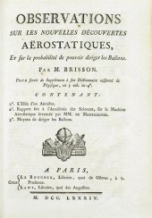 3 vols. (Ballooning.) Brisson, M.J. Dic
[more like this]
-
 3 vols. Philadelphia Atlases. Germanto
[more like this]
-
 1 vol. (Philadelphia Atlas.) Smedley, S
[more like this]
-
 ''Atlas Geography of the Heavens'' & ''B
[more like this]
This list is limited to only a few results.
Many more items are available to our members in our
Price Guide!


